

How Every Meteorologist (Including Myself) Got it WRONG!
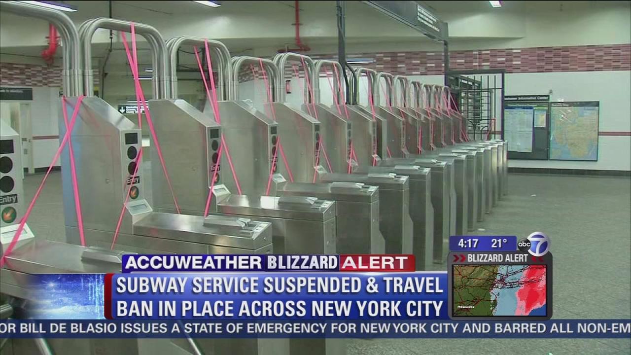
The Worst Storm in our Lifetime it was being called. Preemptive State of Emergencies. Statewide Travel Bans – Even NYC closed its bridges and tunnels for the first time in recent memory. So how could the entire weather community get it so wrong?
For starters, the setup (from a technical standpoint) was as close to perfect as you can get – A cold air source, a strong low pressure disturbance bombing offshore, temporary blocking, a negative-tilted trough, etc. For the first time since January of 2011, New Jersey was eyeing up a potential historic blizzard with all systems go through the 11th hour. The king of models, the European, was showing the blizzard for multiple consecutive runs with the support of the short-range NAM model. The National Weather Service went as bullish as ever on expected snowfall amounts.
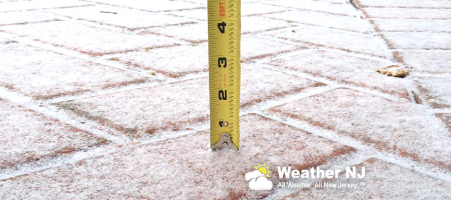
Some went as far as to call for over 3 Feet of Snow… Three Feet!
So what went wrong? First, a disturbance known as an inverted trough formed over central PA. This created strong lifting which in-turn created strong sinking over eastern PA and most of New Jersey. This is how convective rhythm works. When air rises in one location, it has to come down in another. Lifting air produces snow like it did further west overnight. Sinking air dries it out and stops the snow like it did for eastern PA and most of New Jersey. This resulted in a very late start to the main precipitation shield that backed in off the ocean late last night.
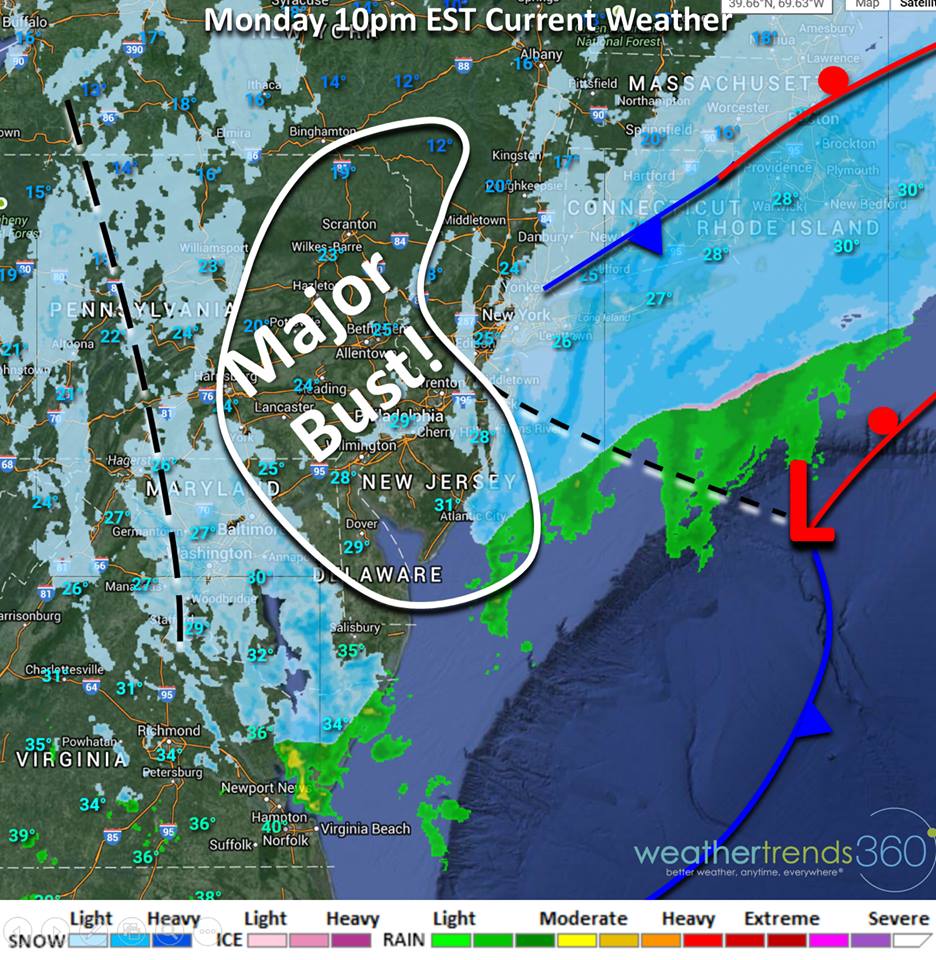
Then, the system was way late to close off at the upper levels (500mb). Think of a spinning top that you flick onto a flat surface. Eventually it comes to rest and stands on its own. This is what the upper levels of the atmosphere failed to do until it was too late for NJ/NYC. It was however, in just enough time to give parts of Long Island and Coastal New England their blizzard. It’s still happening now.
In English: We had all the ingredients on the table for a historic snow storm. We simply messed up the cooking time. Dry air and a late phase of energy spared NJ/NYC from what could have been a crippling situation. What Lessons were learned? If you want the truth… probably very few. If the same setup happened next week, you would probably see the same extreme predictions being made by the same group of people.
For myself though, I’ve walked away learning that forecast risk mitigation (what could go wrong) should be better implemented into the forecast discussion. Hindsight is 20-20 but I wish could go back and mention that dry slots and late phases can make or break large complex systems such as these. It’s best to present all possible solutions and rule them out one-by-one during real-time observations and verification. I think I will do this from now on so that the public has a better understanding of both possibility and probability with approaching weather systems. Have a great day and be safe! JC
Jonathan Carr (JC) is the founder and sole operator of Weather NJ, New Jersey’s largest independent weather reporting agency. Since 2010, Jonathan has provided weather safety discussion and forecasting services for New Jersey and surrounding areas through the web and social media. Originally branded as Severe NJ Weather (before 2014), Weather NJ is proud to bring you accurate and responsible forecast discussion ahead of high-stakes weather scenarios that impact this great garden state of ours. All Weather. All New Jersey.™ Be safe! JC


LOCAL FORECAST | INTERACTIVE RADAR | LATEST NJ WEATHER ALERTS | WEDDING FORECAST| PRIVACY POLICY
© Copyright 2026 Weather NJ LLC. All Rights Reserved.
Some information that can be found on our website is provided by a private weather station and is not an officially recognized station for weather reporting. Though we always strive to achieve accurate reporting for our own use, it is important that you do NOT depend on the data provided here for any purpose.

 Got it WRONG!)