

Humidity and storms return this week (July 21-25)
This week we’re back to good ole fashion mid-summer weather. We can thank high pressure near Bermuda for making this possible by establishing a S/E ridge. Humidity will be returning as temperatures push higher and higher each day. By Wednesday we could be flirting with 90 degrees for areas away from the coast. Popup thunder-cells can happen on any afternoon but I expect a possible stormy period Wednesday-Thursday. Lets break it down by day:
Tomorrow will max out in the low-to-mid 80s with a light S/E flow. Lows will fall into the mid-60s. Expect mostly sunny skies with noticeably increased humidity.
Tuesday will also feature mostly sunny skies and plenty of humidity but with temperatures a few degrees higher then Monday. Winds will switch to a S/W direction and vary from 5-15mph. If afternoon temps top out in the mid-to-upper 80s then they should only fall to ~70 overnight.
Wednesday will likely be the hottest and most humid day of the week. Mostly sunny skies will continue with a persistent 5-15mph S/W flow. Model guidance is indicating a weak low pressure disturbance pushing through from the Great Lakes area. It should eject into the Atlantic Ocean (near Long Island) sometime between Wednesday and Thursday bringing isolated to scattered thunderstorms with it. With such a hot and steamy leading setup all week, severe weather criteria cannot be ruled out. I’ll be tracking this system throughout the week but for now, lets put it on the back burner.
Thursday should be cooler than Wednesday. Lets give it through late afternoon for any lingering/remnant showers and storms to fully move out. I think this day will feature more sun than clouds while not storming but we’ll see. Highs should stay in the lower 80s with lows dropping to around 60. These cooler temperature as well as a 5-15mph N/W flow should allow for a pleasant feel.
As of now Friday looks gorgeous with a high of ~80, a low of ~60, and mostly sunny skies. Winds will still be out of the N/W at 5-15mph with gusts to 20mph. An early peek at the weekend says another beautiful day on Saturday and possibly a stormy Sunday.
This Monday-Friday Outlook is proudly powered and sponsored by weathertrends360 (www.weathertrends360.com). Through 150 years of world wide weather data analysis, weathertrends360 has developed proprietary algorithms and methods that predict weather up to a year with 84% accuracy. They are second to none in the long range so check them out for business planning, travel planning, etc.
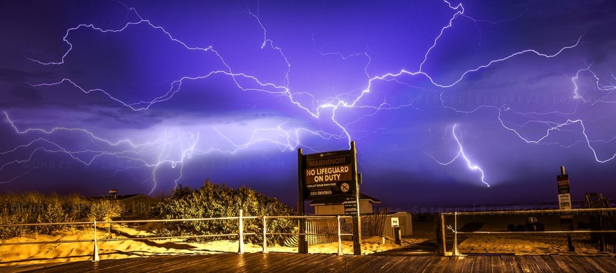
Lightning image by Chris Spiegel of Blur Revision Media Design.
Be safe and have a great week! JC
Jonathan Carr (JC) is the founder and sole operator of Weather NJ, New Jersey’s largest independent weather reporting agency. Since 2010, Jonathan has provided weather safety discussion and forecasting services for New Jersey and surrounding areas through the web and social media. Originally branded as Severe NJ Weather (before 2014), Weather NJ is proud to bring you accurate and responsible forecast discussion ahead of high-stakes weather scenarios that impact this great garden state of ours. All Weather. All New Jersey.™ Be safe! JC


LOCAL FORECAST | INTERACTIVE RADAR | LATEST NJ WEATHER ALERTS | WEDDING FORECAST| PRIVACY POLICY
© Copyright 2026 Weather NJ LLC. All Rights Reserved.
Some information that can be found on our website is provided by a private weather station and is not an officially recognized station for weather reporting. Though we always strive to achieve accurate reporting for our own use, it is important that you do NOT depend on the data provided here for any purpose.

)