


I Can Feel Summer Slipping Away

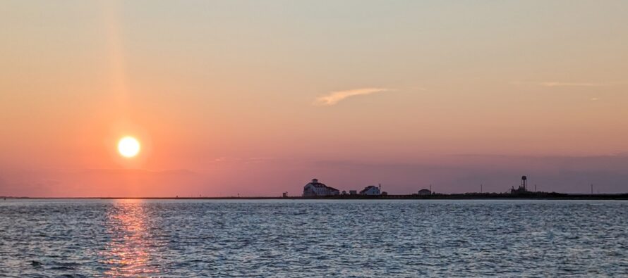
Discussion: We’ve lost about 75 minutes of daylight since the summer solstice. By now many of you should be noticing later sunrises and earlier sunsets. As your captain of Kaboom Airlines, it is my duty to inform you that we’ve begun our initial descent towards the colder months. Please keep your snow lover hopes and dreams in the upright position and keep your seatbelts fastened as we must first pass through the meat and potatoes of hurricane season (~now through ~early October) and nor’easter season (Oct-Nov). We should be on the ground at our destination (tracking snow) in as little as 90 days.
We’re going to see a little relief from the heat and humidity this weekend mainly due to a short-lived kink in the upper jet producing N/NW flow. Unfortunately, it might only exist during the 24-hour period that is all of Saturday, but it will at least feel nicer out for a day regarding humidity. It is important to note that dew points could stay elevated above the 65-degree comfort point along coastal regions of ECNJ/SENJ due to the warmest ocean temps of the year (near-80). For everyone away from the ocean, dew points on Saturday should be less than 65 and in some cases less than 60, making for a more pleasant feel away from the ocean, especially up in the NNJ elevations. This situation typically produces dense overnight/morning fog where the warmer marine air meets the colder air away from the ocean overnight. I’m talking about you, coastal Monmouth, Ocean, SE Burlington, Atlantic and Cape May. Sunday should see a slight increase in humidity and clouds with showers and thunderstorms possible for PM hours (mainly afternoon into evening. A low pressure center will float over NJ Sunday afternoon-evening which could enhance lift and mix up some shear. Sunday could be stormier than you think. Humidity should then hover between manageable and slightly uncomfortable next week before we reach what looks like a more potent air mass of lower temps and dew points following a Thursday-Friday cold front. Maybe that period of relief lasts a few days instead of just one. Then by the end of August, we should see an even longer period of relief. This is all well in alignment with typical climatology and what happens every mid-to-late August. My favorite occurrence during this “summer is slipping away” phase is the first morning you wake up and say, “oh yeah, the colder seasons are coming.” Maybe some of you feel that way Saturday morning. Maybe you won’t feel that way until next Friday. Maybe not until the end of August. But for everyone, that one cold front is coming sooner or later.
So yes, I can feel summer slipping away. However, we still have multiple solid shots of annoying humidity that will mix in with the drier air masses. Don’t pack up your shorts and tee shirts just yet. The warm months of the year have their own 9-inning baseball calendar (just like winter) and right now, we are maybe in the bottom of the 6th inning of warm weather. As we all know, NJ can see unicorn heat waves even after calendar summer ends (Sept 22) into much of October.
So we have an idea of this weekend and next week. Let’s discuss the tropics. Cristobal formed well out to sea and has already dissipated somewhere in the northern-central Atlantic Ocean. All eyes are now turning towards what is currently tracked by the National Hurricane Center (NHC) as Invest 94L. This is an official Cape Verde tropical development. If it develops into at least a tropical storm, it will likely be named Dolly unless something else were to quickly form and cut the line (unlikely at this point). There is very solid model consensus that 94L will track from its current location (N of E S America) towards or just NE of the NE Caribbean Islands, where the Lesser Antilles hook into the Major Antilles. In all honestly this track makes me pay closer attention. It 1) avoids the possible disruption of the island land regions and higher elevations of Hispaniola and 2) Typically means a hit or close miss (track somewhere between the E US and Bermuda). If this system becomes Dolly and intensifies into a hurricane, missing the Caribbean just to the NE, then it will have to rely on shear and steering currents to keep it away from the E coast. This could be in the form of an E side of a trough, a cold front, etc. If a ridge were to trap Dolly from moving N or E on its recurve, then it would go into the E US coast as a landfalling hurricane. I don’t think there is reason to panic just yet. We need to watch 94L (likely to become Dolly) as it continues its track towards the NE Caribbean. It should be there around Tuesday and hopefully will be shearing out/weakening before starting the recurve towards the area between the E US coast and Bermuda by around next Thursday. I’m also watching another Cape Verde system likely to form just behind 94L. You know I’ll be watching and will report as needed.
Forecast
Friday (Aug 14) high temperatures should reach the mid-to-upper 80s for most NJ locations. Closer to 80 near the coast. Skies should be mixed with sun, clouds and Canadian wildfire smoke haze. Winds should be light out of the W/NW. Overnight lows should range from upper-50s to upper-60s NNJ to SNJ.
Saturday (Aug 15) high temperatures should reach the low-to-mid 80s for most NJ locations. Skies should be mostly sunny with noticeably less humidity. Winds should be light out of the N/NE. Overnight lows should fall to the 55-65 range.
Sunday (Aug 16) high temperatures should reach near-80 for most NJ locations. The day should gradually transition into higher humidity, clouds and periods of showers and thunderstorms afternoon into evening. Thunderstorms could produce minor-to-moderate damaging winds and flash flooding at a localized level and just likely just some rain, wind and rumbles on a widespread basis. Winds should be light-to-breezy out of the S/SE. Overnight lows should fall to the 68-74 range NNJ to SNJ.
An early look at next week (Aug 17-21) indicates lots of 80s with various humidity and pop-up shower/thunderstorm chances. Not seeing any big rainmakers at the moment but certainly some storm chances. More relief Friday into the weekend with a stronger cold front. Then we continue to wind down summer as warm periods become more transient and cooler periods more prolonged. Have a great weekend and please be safe! JC
Premium Services
KABOOM Club offers an ad-free environment, inside info (Above and Beyond) forecast discussion, your questions prioritized, and early storm impact maps and video releases (ahead of the public). At $1.99 per month, it’s an extremely feasible way to show additional support for Weather NJ and you can turn it on and off for however many months you wish. Think of it as a tip jar with perks. Available onFacebook or Patreon.
My Pocket Meteorologist (MPM), in partnership with EPAWA Weather Consulting, offers professional/commercial interests, whose businesses depend on outdoor weather conditions (snow plowing, landscaping, construction, etc.), with hyper-local text message alerts/forecasts from real meteorologists and access to the MPM premium forum—the most comprehensive and technical forecast discussion available for PA and NJ commercial interests.
KABOOM Shop is live if you want some KABOOM or Weather NJ Merch!

Jonathan Carr (JC) is the founder and sole operator of Weather NJ, New Jersey’s largest independent weather reporting agency. Since 2010, Jonathan has provided weather safety discussion and forecasting services for New Jersey and surrounding areas through the web and social media. Originally branded as Severe NJ Weather (before 2014), Weather NJ is proud to bring you accurate and responsible forecast discussion ahead of high-stakes weather scenarios that impact this great garden state of ours. All Weather. All New Jersey.™ Be safe! JC



LOCAL FORECAST | INTERACTIVE RADAR | LATEST NJ WEATHER ALERTS | WEDDING FORECAST| PRIVACY POLICY
© Copyright 2026 Weather NJ LLC. All Rights Reserved.
Some information that can be found on our website is provided by a private weather station and is not an officially recognized station for weather reporting. Though we always strive to achieve accurate reporting for our own use, it is important that you do NOT depend on the data provided here for any purpose.

