

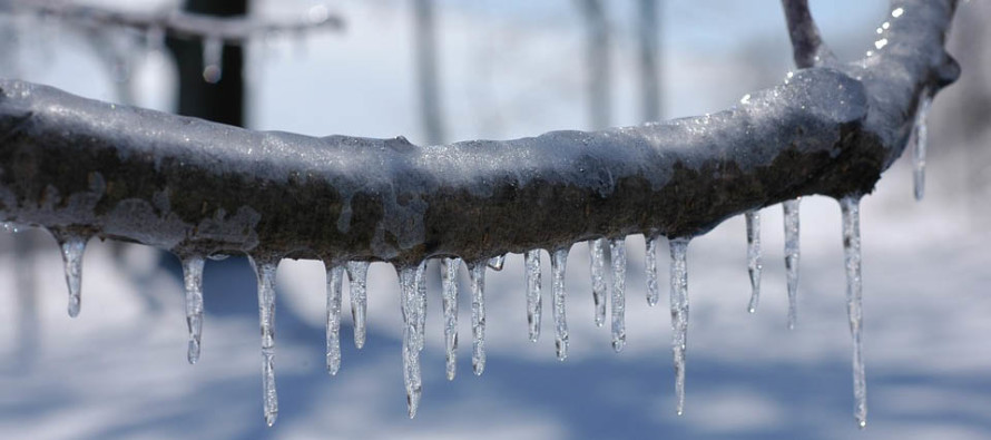
Icing Possible Friday
Discussion: High pressure is currently offshore and will drop southward towards Bermuda by tomorrow (Wednesday) morning. This will set up a milder return flow from the Atlantic Ocean into the S and SW of NJ. This will be the mechanism for the Wednesday-Thursday warmup but could come with fog given the warm air advection over existing snowpack.
A long frontal boundary will set up from ~Texas to ~Maine with strong Arctic high pressure eventually advancing it through New Jersey from NW to SE. The Bermuda high will not go without a fight. It will hurl moisture and warmth into the mid-levels as it backs away to the SE and ultimately gives way to the cold front.
Precipitation will ride this entire elongated boundary (from Texas to Maine) as it pushes SE through NJ. The timing of the frontal boundary passage will be determined by how fast the Arctic high can outperform the Bermuda high. If quicker, then the Arctic front pushes through the precipitation faster for an icier situation on Friday. If slower, then most precipitation falls as rain.
Models have gradually trended colder over the last 2 days for this wave front passage. The GFS is the most extreme with a nearly-statewide prolonged ice storm. The Euro and Canadian seem a little more realistic with only NNJ/CNJ seeing a period if ice to end. But again, the NW-most guidance has trended colder. I’d like to see through tomorrow before talking maps.
In either case, the rain would arrive Thursday AM for all of NJ and begin changing over for NWNJ by Thursday night. The changeover for the rest of NJ would occur later Friday with SENJ ending with tapering flurries by Friday night.
The GFS threw up a significant snow/sleet event for Sunday (Feb 6) but the Euro and Canadian are not enthused with misses to the S. As mentioned in the last article, it’s another weak signal I’m watching but need to see how the Friday front advances. The Sunday wave/low will be partially steered by that boundary along with upper-level steering currents.
In English: Conditions should become relatively mild over the next few days. Clouds should fill in Wednesday and rain should break out Thursday. Watch out for possible fog especially overnight. Between Thursday night and Friday night, a slow cold front will change rain to a mix of wintry precipitation from NW to SE. If the changeover occurs earlier Friday morning, then NJ (NWNJ favored over SENJ) could see a significant ice storm on Friday. If the Friday changeover occurs later in the afternoon/evening, then it should be a mostly rain event ending in nuisance ice/snow.
I’m leaning somewhere in the middle which still puts at least NWNJ (N of I-78/NW of I-287), possibly all NW of I-95/NJTP, in the game for light-to-significant ice. Areas SE of the turnpike would be mostly rain ending as flurries. However I wouldn’t be surprised if this system trends even colder which could bring some of SNJ into the game for finishing ice. Let’s see how we look tomorrow.
Jonathan Carr (JC) is the founder and sole operator of Weather NJ, New Jersey’s largest independent weather reporting agency. Since 2010, Jonathan has provided weather safety discussion and forecasting services for New Jersey and surrounding areas through the web and social media. Originally branded as Severe NJ Weather (before 2014), Weather NJ is proud to bring you accurate and responsible forecast discussion ahead of high-stakes weather scenarios that impact this great garden state of ours. All Weather. All New Jersey.™ Be safe! JC


LOCAL FORECAST | INTERACTIVE RADAR | LATEST NJ WEATHER ALERTS | WEDDING FORECAST| PRIVACY POLICY
© Copyright 2026 Weather NJ LLC. All Rights Reserved.
Some information that can be found on our website is provided by a private weather station and is not an officially recognized station for weather reporting. Though we always strive to achieve accurate reporting for our own use, it is important that you do NOT depend on the data provided here for any purpose.
