

More Mild Weather and T-Storms (Feb 27-Mar 3)
More spring tease weather this week including mid-week thunderstorms and possible late-week snow. Let’s break it down…
Disco: Another low pressure system will form in the Midwest US and track through the Great Lakes into SE Canada. This will drag another warm front->warm sector->cold front pattern through New Jersey between now and Thursday morning. This carries lighter rain chances along the warm front and inside the warm sector followed by heavy rain and thunderstorms along and just ahead of the cold front. The jury is still out on how cloudy/rainy the warm sector will be. If there are more clouds and rain then instability would be inhibited. If the warm sector is clear and sunny then thunderstorms could be more intense. Either way, it’s going to get pretty mild Tuesday into Wednesday. After the rain, storms and cold front move through by Wednesday night/Thursday morning we should then cool down considerably heading into the weekend. There’s actually some guidance suggesting a quick and light snow event Friday-Saturday, mostly for NNJ. I need to see some more data over the next few days before commenting any further.
Monday (Feb 27) high temperatures should reach the mid-50s statewide. Skies should be mixed with sun and clouds. Winds should be light-to-breezy out of the SW. Overnight lows should fall into the 40s for most. NNJ elevations should dip into the 30s.
Tuesday (Feb 28) high temperatures should take a noticeable kick up. Most of the state should reach into the 60s. I wouldn’t be surprised to see interior CNJ/SNJ take a run at 70. Skies should be mixed with sun and clouds with isolated pockets of rain possible. Winds should be light out of the S/SW. Overnight lows bottom out in the 50s for most. Perhaps NNJ elevations dip into the upper-40s. Overnight pockets of dense fog are possible.
Wednesday (Mar 1) high temperatures should likely break 70 for many areas. Well into the 60s if not. Currently, the cold frontal passage is modeled for later in the evening just like this past Saturday. With that said, skies could start partly sunny and freakishly mild before transitioning to cloud cover ahead of the rain and storms. I would expect fog to be in play as well. Heavy rain and thunderstorms, some possibly severe, are then possible Wednesday between afternoon and evening hours. Winds should be breezy-to-gusty out of the SW ahead of the cold front. Once through, higher winds should switch to the W/NW. Overnight lows should fall into the 40s statewide.
Thursday (Mar 2) high temperatures should struggle to escape the 40s statewide. Skies should be mostly sunny. Winds should be breezy-to-gusty out of the W/NW. Overnight lows should fall into the 20s and 30s.
Friday (Mar 3) high temperatures should struggle to escape the 30s for NNJ. CNJ and SNJ will likely reach into the 40s. A clipper disturbance could be coming through which could generally bring snow to NNJ and rain to SNJ. The exact snow/rain line is too difficult to nail down from this range but climatology would suggest between I-80 and I-78. Winds should be breezy out of the N/NW. Overnight lows should fall into the 20s for most with NNJ elevations possibly dipping into the teens.
An early look at the weekend indicates colder and drier conditions. Highs in the 40s/50s could feel somewhat mild in the sunny daytime hours but overnight temperatures should still be chilly. Let’s revisit on Thursday. Everyone have a great week and please be safe! JC
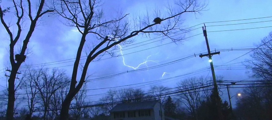
Image Credit: Weather NJ Contributor Shawn Wainwright from Toms River, NJ 2/25/2017
Jonathan Carr (JC) is the founder and sole operator of Weather NJ, New Jersey’s largest independent weather reporting agency. Since 2010, Jonathan has provided weather safety discussion and forecasting services for New Jersey and surrounding areas through the web and social media. Originally branded as Severe NJ Weather (before 2014), Weather NJ is proud to bring you accurate and responsible forecast discussion ahead of high-stakes weather scenarios that impact this great garden state of ours. All Weather. All New Jersey.™ Be safe! JC


LOCAL FORECAST | INTERACTIVE RADAR | LATEST NJ WEATHER ALERTS | WEDDING FORECAST| PRIVACY POLICY
© Copyright 2026 Weather NJ LLC. All Rights Reserved.
Some information that can be found on our website is provided by a private weather station and is not an officially recognized station for weather reporting. Though we always strive to achieve accurate reporting for our own use, it is important that you do NOT depend on the data provided here for any purpose.

)