

Jan 21: First Call Snow Map for Saturday
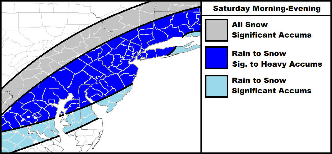
Discussion: Intensifying low pressure will track from Texas across the northern Gulf of Mexico and up the east coast over the next 72 hours. The storm track is currently modeled to eject into the Atlantic Ocean somewhere over OBX and pass close to what’s called “the benchmark.” This is a geographic lat/long location of 40N/70W. The benchmark is traditionally where a low has to pass over to give the I-95 corridor a major snow storm from Washington DC to Boston. This is a classic setup that includes a period of rain to start, especially SE of the I-95 corridor, before transitioning to accumulating snow. Areas NW of the I-95 corridor typically stay all snow in these benchmark systems. For these reasons I have a pretty thick dark blue area to allow for either or. Tomorrow’s map will feature accumulation amounts and likely tweaks based on where model guidance is trending towards. For now this is my gut feeling and first call.
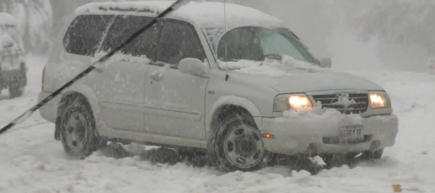
In English: Anything from minor to major snow accumulations are possible between Saturday morning and late Saturday night. This will likely occur after a period of rain to start. In reference to the above map, I consider 3-6″ of snow significant accumulations and 6″+ inches of snow heavy accumulations. The “K” word will not be mentioned until it is certain and imminent. It must never bust. Be safe! JC

Jonathan Carr (JC) is the founder and sole operator of Weather NJ, New Jersey’s largest independent weather reporting agency. Since 2010, Jonathan has provided weather safety discussion and forecasting services for New Jersey and surrounding areas through the web and social media. Originally branded as Severe NJ Weather (before 2014), Weather NJ is proud to bring you accurate and responsible forecast discussion ahead of high-stakes weather scenarios that impact this great garden state of ours. All Weather. All New Jersey.™ Be safe! JC


LOCAL FORECAST | INTERACTIVE RADAR | LATEST NJ WEATHER ALERTS | WEDDING FORECAST| PRIVACY POLICY
© Copyright 2026 Weather NJ LLC. All Rights Reserved.
Some information that can be found on our website is provided by a private weather station and is not an officially recognized station for weather reporting. Though we always strive to achieve accurate reporting for our own use, it is important that you do NOT depend on the data provided here for any purpose.
