

Jan 27: Weather Update
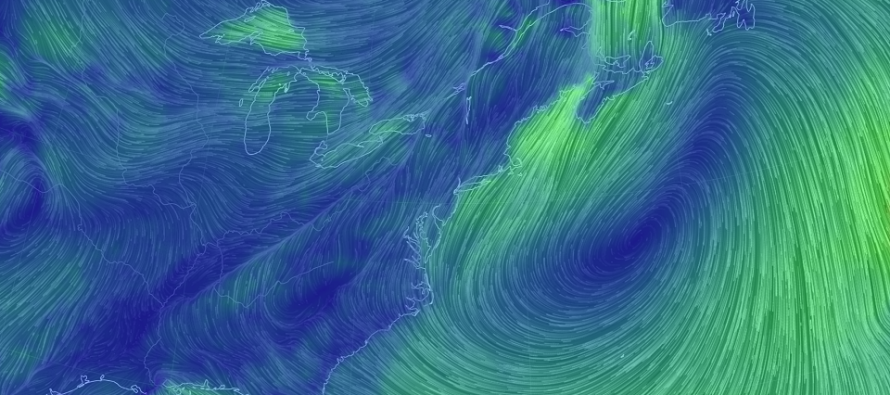
Discussion: This coming week will feature several atmospheric periods of interest. It looks like we are keying in on the following action…
Sunday (Jan 28) rain: A slower cold front will push rain through most of the region from NW to SE. For NNJ/CNJ this is just light passing frontal rain. The frontal boundary should slow down however as a weak wave of low pressure rides it from SW to NE (SE of a line drawn from OBX to Nova Scotia). The initial S/SE flow ahead of the disturbance should hold up the cold front advancement. Once the low passes through then the trailing N flow will help resume frontal boundary movement through all of NJ. With this initial event, only rain is expected. Lighter rain is expected NW of 95 (starting as early as midnight tonight and ending by noon-ish Sunday). More rain is expected SE of 95 and especially for SENJ (starting later Sunday morning and ending by late-Monday morning if not earlier) due to the delayed boundary progression providing additional lift. By Monday afternoon NJ should be clear and awaiting the next period of interest…
Monday Night-Tuesday (Jan 29-30) snow showers: Northern stream energy dives in behind the departing Monday wave. At this point we’ll be colder. This tail-end interaction will likely form an inverted trough that could span from the departing Monday low back into the Mid-Atlantic US. Guidance has been all over on the heaviest snowfall location ranging from NJ (in general) to CPA to Delmarva. But the consensus has been a light event (anything from just flurries to a quick few inches depending on where the small area of enhanced lifting occurs). Also with the progressive flow the IVT is going to quickly drift east. A forecast of widespread scattered snow showers is probably the best way to handle this with the caveat that a thin strip location could see enhanced snowfall. The exact location of the thin strip is next to impossible to pin down with an inverted trough setup.
Friday-Saturday (Feb 2-3) frontal wave: This potential comes in the form of another weak wave riding a cold front. Only this time, it’s a little more favorably positioned for wintry weather than tomorrow’s warmer rain event. We would be dealing with a rain-to-snow scenario. So a lot of snow accumulations could be lost for the first third-to-half of the precipitation. Temperatures are expected to crash through the precipitation shield however (from NW to SE) quicker than the precipitation ends. So a frozen icy layer, beneath finishing snow accumulations, is a realistic travel hazard. The question is how much snow accumulation occurs after the changeover and point of stickage. I would expect the timing on this event to drift earlier or later on model guidance since it’s a very progressive setup. We’ll adjust as needed headed through this week. For now, Friday-Saturday is a loose general window. There is also more precipitation possible for Super Bowl Sunday but that’s just outside the range of confidence. Let’s focus on the Friday-Saturday potential first.
In English: Rain is expected tomorrow, light NW of I-95/NJTP and a bit heavier SE of I-95/NJTP especially SENJ. Rain ends by Sunday PM hours for most but could stretch into some of Monday AM for points SE. Widespread snow showers are then possible Monday night into Tuesday…anything from just flurries to a few inches depending if snow showers concentrate around an inverted trough. Lastly, Super Bowl Weekend is beginning to look wintry with rain changing to possibly a significant snowfall Friday into Saturday. I’m also watching more precipitation (possibly wintry) for Super Bowl Sunday itself. The entire Super Bowl Weekend forecast will command close monitoring this upcoming week. Tomorrow evening’s Monday-Friday Outlook will cover each day this week in-detail and special event articles/videos would likely begin Tuesday (no sooner than Monday night). Have a great rest of your weekend and please be safe! JC
For comprehensive and interactive hyper-local analysis that goes way above and beyond the detail of this public forecast, check out our premium services which include text notifications and forum access. We’ll be discussing the above-mentioned possibilities including Super Bowl Weekend in the forum.
Jonathan Carr (JC) is the founder and sole operator of Weather NJ, New Jersey’s largest independent weather reporting agency. Since 2010, Jonathan has provided weather safety discussion and forecasting services for New Jersey and surrounding areas through the web and social media. Originally branded as Severe NJ Weather (before 2014), Weather NJ is proud to bring you accurate and responsible forecast discussion ahead of high-stakes weather scenarios that impact this great garden state of ours. All Weather. All New Jersey.™ Be safe! JC


LOCAL FORECAST | INTERACTIVE RADAR | LATEST NJ WEATHER ALERTS | WEDDING FORECAST| PRIVACY POLICY
© Copyright 2026 Weather NJ LLC. All Rights Reserved.
Some information that can be found on our website is provided by a private weather station and is not an officially recognized station for weather reporting. Though we always strive to achieve accurate reporting for our own use, it is important that you do NOT depend on the data provided here for any purpose.
