

Jan 30: Snow Targeting SNJ Friday
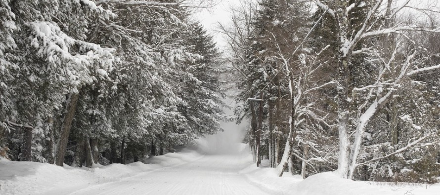

Discussion: Another light snow event is becoming more likely for this Friday and this time it’s targeting SNJ as a clipper. The period of snow should be from about noon to 8pm under very cold conditions. Therefore snow ratios will likely be higher than the standard 10:1 (inches of snow to inches of liquid). Again it’s not a major snow storm but it should produce at least light accumulations for most of SNJ to the S of I-195.
Once the clipper is through and out to sea the brutal cold period should relax starting this weekend. The entire E US should then moderate with mild temperatures (for winter) from about Feb 3 until Feb 8. Around Feb 8 the cold is expected to return and we should look to that transitional period as the next possible winter storm signal. There are some favorable global patterns setting up for high-latitude blocking and an active stream of energy after this Feb 3-8 moderation period. There is a lot of winter left to go.
Temperatures overnight tonight and through Friday should simply be stupid cold. We’re now seeing the air mass that set cold records in the northern plains the past few days. Obviously it has moderated some since we’re not seeing -20 with -50 chill. But most of the NJ tonight should go down into the single-digit/negative territory with chills easily in the negative territory. This is the pipe-busting cold. Drip your faucets, make sure animals are not left outside and do whatever else you think makes sense for extreme cold preparation. Again this air mass will be leaving this weekend after the Friday clipper. On Friday I’ll put out the February long-range discussion which will highlight expected temperatures and precipitation trends. Serious Friday clipper tracking begins tomorrow.
In English: It’s already very cold but temperatures will continue to fall overnight through mid-morning. All of NJ should drop to at least single-digits. Interior/elevations should go negative. Wind chills even lower. This is the dangerous cold that you should take seriously. On Friday a period of light snow is targeting SNJ. Models have grown more aggressive today with it so I’ll be watching for more of that tomorrow. Right now it looks like a noon to 8pm type thing. A snow map will be issued tomorrow at 5pm. Premium hyper-local text alerts will go out earlier in the day and we’ll be discussing model run-by-run analysis in the premium forum. Download the new free Weather NJ mobile app on Apple and/or Android. It’s the easiest way to never miss Weather NJ content. Have a great night stay warm and please be safe! JC
Jonathan Carr (JC) is the founder and sole operator of Weather NJ, New Jersey’s largest independent weather reporting agency. Since 2010, Jonathan has provided weather safety discussion and forecasting services for New Jersey and surrounding areas through the web and social media. Originally branded as Severe NJ Weather (before 2014), Weather NJ is proud to bring you accurate and responsible forecast discussion ahead of high-stakes weather scenarios that impact this great garden state of ours. All Weather. All New Jersey.™ Be safe! JC


LOCAL FORECAST | INTERACTIVE RADAR | LATEST NJ WEATHER ALERTS | WEDDING FORECAST| PRIVACY POLICY
© Copyright 2026 Weather NJ LLC. All Rights Reserved.
Some information that can be found on our website is provided by a private weather station and is not an officially recognized station for weather reporting. Though we always strive to achieve accurate reporting for our own use, it is important that you do NOT depend on the data provided here for any purpose.
