Jan 9: Weekend Snow Detected

Discussion: Changes in the western Pacific ocean indicate a more active pattern from about January 20 and forward into February. It takes about two weeks for downstream-propagation for such changes to reach the E US. We’re not there yet, including this weekend, but it’s coming as it started last week with dropping Southern Oscillation Index (SOI) values. For now, the pattern will change but mostly just in temperature. You’ve felt the NW winds today. You’ve seen the flat-bottom wind clouds. Cold air is rushing in in the form of a troposhperic Polar Vortex lobe that started as a stratospheric PV split due to stratospheric warming over the N pole. Basically the cold air is now here but the jet stream pattern is not yet supportive of a major snow storm.
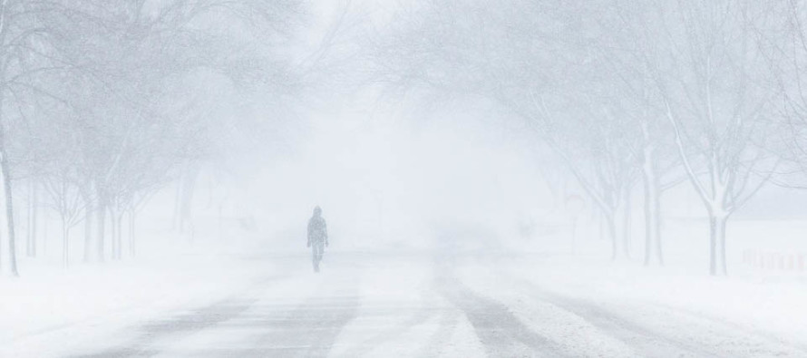
This weekend we’re looking at a weak low pressure system sliding by to our S. This low will likely interact with a northern stream shortwave and throw a precipitation shield northward into New Jersey where it will be cold enough to snow. It doesn’t look like a major snow storm but instead an 18-24 hour period of light snow. Should the northern and southern stream waves interact more than currently modeled then we could be looking at a more significant snowfall but right now, I got nothing to support that other than “the dynamics are there if timed perfectly.” Given proximity to the low, SNJ is favored to see higher accumulation amounts than NNJ. Currently it looks like very little will fall N of I-80 and that might even be N of I-78.
SNJ has the best chance to see a plowable amount of very fluffy snow this weekend. Snow ratios are expected to be higher than the typical 10:1 relationship of inches of snow to liquid. 15:1 is a better expectation meaning if only a half-inch of liquid falls then 7.5 inches of accumulating snow would be produced (just an example). The Euro is locking in on a light-to-significant event for SNJ, a light event for CNJ and little-to-nothing for NNJ given the confluence from the northern energy. Again, this is how it looks now and there will likely be adjustments. Model data should improve tonight as energy moves over land for better sampling. The timing if this weekend’s expected snowfall would be between Saturday afternoon/evening and Sunday afternoon/evening. Again, an 18-24 hour period of light snow is currently expected for this period.
In English: We’re about 72 hours from the expected period of snowfall. The best guess on timing is from about 5pm Saturday to 5pm Sunday. That’s a large window of time and we’ll adjust accordingly as we closer approach. Currently snowfall should be light but again…prolonged. SNJ is most favored for plowable snow. CNJ is currently looking at a lighter event. NNJ could deal with a sharp cut-off with little-to-nothing. I currently see no cause for a major snow storm alarm but a significant SNJ event is not off the table. The first snow map for this event will likely be issued tomorrow at 5pm and will include expected amounts and more precise timing. This article only represents my current initial thoughts. With this approaching system it’s not a bad time to download the new free Weather NJ mobile app on Apple and/or Android. Have a great night and please be safe! JC
Jonathan Carr (JC) is the founder and sole operator of Weather NJ, New Jersey’s largest independent weather reporting agency. Since 2010, Jonathan has provided weather safety discussion and forecasting services for New Jersey and surrounding areas through the web and social media. Originally branded as Severe NJ Weather (before 2014), Weather NJ is proud to bring you accurate and responsible forecast discussion ahead of high-stakes weather scenarios that impact this great garden state of ours. All Weather. All New Jersey.™ Be safe! JC


