

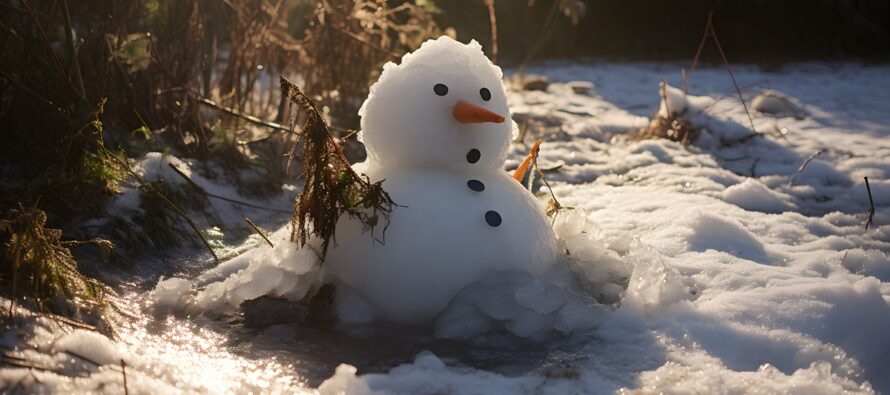
January Thaw Begins. Winter Not Over.
Discussion: It’s been a very busy stretch for me since New Year’s Eve. Between three separate events so far in January (1/6, 1/16, and 1/19), most of NJ saw a period of snow. The 1/6 event dropped 8-12+ across NNJ, the 1/16 event dropped significant snow across parts of CNJ, and the 1/19 event filled in most of SNJ with plowable snowfall. They weren’t major/big snowstorms, but they were something that many have not seen in a while. Add a few rain/wind/flooding events in there and we’ve had quite the active pattern. I’m enjoying the rest while I can and onward we move. Today and tomorrow will be transitional as a warm front arrives and brings milder temperatures to the region to close out January. It looks like this Thursday and Friday (Jan 25-26) should be the warmest it gets. We’re also looking at on-and-off rainfall Wednesday through Saturday morning associated with the warm front but also enhanced by the general convergence on the NW side of a Bermuda high (banana signature). I expect colder conditions to return the first week of February and a more supportive pattern for snow just after. But there is one period of interest I’m monitoring for this Sunday night into Monday morning (Jan 28-29). It’s a total “thread-the-needle” event that would take advantage of a brief period below freezing which mostly benefits NWNJ. If any other part of NJ were to see snow, it would be the second half of the system (Monday morning) as temps crash overall…but start heading back up into the 40s by mid-day Monday. I honestly expect this to drop off of model guidance with the general warmer pattern. But I will casually monitor it until Wednesday night. If it’s still showing then with support from other guidance, we’ll take it more seriously. It could just be a long-range fantasy that will not “thread the needle.” Otherwise, enjoy the January thaw and I’m sure we’ll be back to tracking some snow in February. We’re closing out the 4th inning of the winter baseball game and we’ve scored a few runs. No homers yet outside of NNJ on 1/6. On February 1 we’ll be into the 5th inning. It’s not game over yet folks.
Monday (Jan 22) high temperatures are currently (as of Monday afternoon) maxing in the 35-40 range. Skies are mostly clear with a few clouds. Winds will remain light out of the SW. Overnight lows should range from upper-20s to mid-30s from NNJ elevations to SNJ coasts.
Tuesday (Jan 23) high temperatures should range from mid-30s to mid-40s from NNJ elevations to SNJ coasts. Skies should start mixed but give way to clouds by afternoon statewide. There could be fog given the warmer moist air moving into a colder air mass but will have to look in realtime. Precipitation could graze extreme NNJ (Sussex, N Warren, N Morris, NW Passaic) as a wintry mix between afternoon and evening hours. Surface temps in that area will be rising above freezing. Most roads should be ok if treated but use caution. Very little precip for the rest of NJ but if so too warm for wintry precip…just rain. Winds should be light out of the W/SW. Overnight lows should range from 30-35 from NNJ elevations to SNJ coasts.
Wednesday (Jan 24) high temperatures should range from 40-50 from NNJ elevations to SNJ coasts. Skies should be mostly cloudy with periods of rain likely moving in by afternoon/evening. Winds should be light out of the S/SE. Overnight lows should range from mid-30s to mid-40s from NNJ elevations to SNJ coasts as rain fills into the rest of NJ.
Thursday (Jan 25) high temperatures should reach the low-to-mid 50s for most NJ locations. Skies should remain cloudy with rainfall likely throughout the day. Between 1-2 inches of rain could fall between Wednesday and Thursday total. Winds should be light out of the S/SW. Overnight lows should range from 40-50 from NNJ elevations to SNJ coasts.
Friday (Jan 26) high temperatures could flirt with 60 statewide. Rain could persist until late morning with some improvement expected for afternoon/evening hours. Another slug of rain could return for Friday night into Saturday morning. Winds should be light out of the W/SW. Overnight lows should fall to about 40 for most NJ locations.
An early look at the weekend indicates another milder day on Saturday (once any AM rain clears out) where most of NJ should reach near-50 and then fall to near-40 overnight. The rest of Saturday into Sunday morning looks clear. Sunday daytime is a little colder than how Friday was, only in the low-mid 40s. Sunday night should take most of NJ below freezing with snow possible for at least areas NW of the turnpike. It’s a quick-moving thread-the-needle event that I’m casually monitoring. It could easily drop off with the warmer pattern not cooperating. I’ll give it until Wednesday night to drop off otherwise, if it gains support, it will be time to start seriously tracking by Thursday morning. I wouldn’t hold your breath but it is still showing from this range, 6-7 days out. Have a great week and please be safe! JC
Premium Services
KABOOM Club offers inside info forecast discussion, your questions answered, and early storm impact maps (ahead of the public). At a buck per month, it’s an extremely feasible way to show support.
My Pocket Meteorologist (MPM), in partnership with EPAWA Weather Consulting, offers professional/commercial interests, whose businesses depend on outdoor weather conditions (snow plowing, landscaping, construction, etc.), with hyper-local text message alerts/forecasts and access to the MPM premium forum—the most comprehensive and technical forecast discussion available for PA and NJ.
Get your KABOOM Inside Out Pajamas and more at the new KABOOM Shop!
Jonathan Carr (JC) is the founder and sole operator of Weather NJ, New Jersey’s largest independent weather reporting agency. Since 2010, Jonathan has provided weather safety discussion and forecasting services for New Jersey and surrounding areas through the web and social media. Originally branded as Severe NJ Weather (before 2014), Weather NJ is proud to bring you accurate and responsible forecast discussion ahead of high-stakes weather scenarios that impact this great garden state of ours. All Weather. All New Jersey.™ Be safe! JC


LOCAL FORECAST | INTERACTIVE RADAR | LATEST NJ WEATHER ALERTS | WEDDING FORECAST| PRIVACY POLICY
© Copyright 2026 Weather NJ LLC. All Rights Reserved.
Some information that can be found on our website is provided by a private weather station and is not an officially recognized station for weather reporting. Though we always strive to achieve accurate reporting for our own use, it is important that you do NOT depend on the data provided here for any purpose.
