

June 9: More Thunderstorms Detected
Rain and thunderstorms are possible this Saturday afternoon-evening. Right now we have high pressure setting up over the general Ohio Valley region which will keep us cool and dry through Friday. Some might call it comfortable. Some might call it amazing. Others might say it’s too cold for summer. Well, to each is own but we have another few weeks of spring left so why not embrace what we’ve been robbed of earlier this season. All signs are pointing to summery conditions smacking us in the face near the actual start of summer. Anyway…
Saturday is another dynamic setup. I’m seeing a warm front pass through New Jersey from the SW to the NE. This is going to be our trigger for rain and storms. In addition, I’m seeing the high pressure to our W and some other dynamics to our NE that are going to position a somewhat decent upper-level jet over our region (on a NW<->SE axis) as the warm front moves through from SW to NE. This is evident by enhanced 500mb-modeled vorticity floating through from the Great Lakes through the Mid-Atlantic, otherwise not associated with any shortwaves. An even stronger lower-level jet will accompany the warm front from the SW as the warm sector moves over NJ. The warm front and strong lower-level jet should provide assistance in lifting despite arriving marginal instability and departing marginal shear. So the energy will move from NW to SE as the warm front moves from SW to NE. X marks the spot where they meet and that happens to be over New Jersey sometime during Saturday PM hours.
It’s another case where the most probable scenario is gusty rain and embedded thunderstorms. There is the chance however that severe criteria could be met should winds exceed 58mph and/or should hail reach a large enough diameter (quarter size). Due to the upper-level flow that will setup between the Great Lakes and our region, bowing segments of higher winds are something we might run into. These systems tend to move fast so an earlier than later impact on Saturday is a very plausible scenario.
There is no doubt that the best dynamics for severe weather exist to our W in NY/PA areas closer to the Great Lakes. As we’ve seen in the past few storm lines, the energy has fizzled when reaching the coastal NJ area mostly due to maritime stabilization. With that said, WNJ and especially NWNJ have a better chance for severe weather than ENJ and especially SENJ simply due to proximity of system formation and distance from the ocean. 9 times out of then these storms fizzle when reaching New Jersey. It’s always a dice roll that leaves some satisfied and others unhappy (hit or miss) but that’s the nature of this business.

In English: Today and tomorrow look cool for June but dry and pleasant. Saturday shouldn’t be a complete washout. There should be some decent weather ahead (morning) and behind (evening-overnight) the rain and storms that should move through between afternoon and evening hours. That’s the best window I can give right now. I will try to break it down hourly tomorrow night. When this happens, expect a period of moderate-to-heavy rainfall, gusty winds and possibly lightning. With that said, Sunday is looking like the better day of the weekend. Be safe! JC
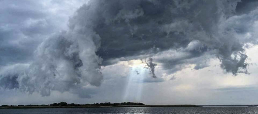
Image Credit: Taken from Ship Bottom, NJ by Weather NJ contributor Laura Mutz
Jonathan Carr (JC) is the founder and sole operator of Weather NJ, New Jersey’s largest independent weather reporting agency. Since 2010, Jonathan has provided weather safety discussion and forecasting services for New Jersey and surrounding areas through the web and social media. Originally branded as Severe NJ Weather (before 2014), Weather NJ is proud to bring you accurate and responsible forecast discussion ahead of high-stakes weather scenarios that impact this great garden state of ours. All Weather. All New Jersey.™ Be safe! JC


LOCAL FORECAST | INTERACTIVE RADAR | LATEST NJ WEATHER ALERTS | WEDDING FORECAST| PRIVACY POLICY
© Copyright 2026 Weather NJ LLC. All Rights Reserved.
Some information that can be found on our website is provided by a private weather station and is not an officially recognized station for weather reporting. Though we always strive to achieve accurate reporting for our own use, it is important that you do NOT depend on the data provided here for any purpose.
