

March 9: More Snow Possible
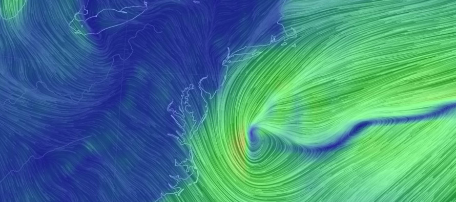
Discussion: For the third time in less than 2 weeks we have a very complicated upper-level setup. The remnant upper-level low (ULL) from Wednesday’s nor’easter is pulling away but still having influence on our region as the southern part of a Rex block. The back side of this departing ULL has influence on the new approaching shortwave. Therefore if the departing ULL low pulls away faster then the approaching shortwave would be allowed to come north. If the departing ULL is slower to pull away then it would crush the approaching shortwave’s track to the S and far out to sea. This would be the short wave that feeds in and forms the surface low. The problem is that steering currents are still kind of flat. Therefore even if the departing ULL retreats faster, it might still only bring the surface low’s precipitation shield into SENJ only and be more of a S MD/VA/S Delmarva type snow event. Then there’s another shortwave possibly involved if it can dive in to the NE US fast enough from Canada. If this Canadian energy can grab the approaching shortwave from the west then we would see the statewide significant-to-major snow event. It’s a full tree of if statements to get a major snow storm from this. A thread the needle system.
The most reasonable thing to do at this point is acknowledge that a light-to-significant snowfall SE of I-95 is gaining probability given the recent trends in better-sampled model guidance. Most global models now have ensemble spreads with enough hits to take seriously. The general timing window has been drifting later and could now be more of a Monday evening to Tuesday afternoon event. I think Sunday is going to end up okay. This is likely due to the approaching shortwave digging a bit more before taking a longer route to the N on it’s way out to sea.
In English: My gut feeling right now says there’s a 25% chance this system produces significant snow statewide, a 50% chance this produces light-to-significant snow for SENJ only, and a 25% chance this system misses completely out to sea. That’s about the best I can do right now with this crazy setup. If trends seen on ensemble spreads continue then you might see a first call snow map tomorrow. Otherwise we’ll probably know whether its time to toss the towel on this system by tomorrow afternoon. Timing is drifting later but I would still block out Monday AM through Tuesday AM for the potential window. Sunday looks like it will now be a drier day. Have a great night and be safe! JC
For comprehensive and interactive hyper-local analysis that goes way above and beyond the detail of this public forecast, check out our premium services which include early hyper-local text notifications and guaranteed individual forum interaction. A must for outdoor businesses that depend on the best real-time data possible.
Jonathan Carr (JC) is the founder and sole operator of Weather NJ, New Jersey’s largest independent weather reporting agency. Since 2010, Jonathan has provided weather safety discussion and forecasting services for New Jersey and surrounding areas through the web and social media. Originally branded as Severe NJ Weather (before 2014), Weather NJ is proud to bring you accurate and responsible forecast discussion ahead of high-stakes weather scenarios that impact this great garden state of ours. All Weather. All New Jersey.™ Be safe! JC


LOCAL FORECAST | INTERACTIVE RADAR | LATEST NJ WEATHER ALERTS | WEDDING FORECAST| PRIVACY POLICY
© Copyright 2026 Weather NJ LLC. All Rights Reserved.
Some information that can be found on our website is provided by a private weather station and is not an officially recognized station for weather reporting. Though we always strive to achieve accurate reporting for our own use, it is important that you do NOT depend on the data provided here for any purpose.
