

Memorial Day Weekend Outlook
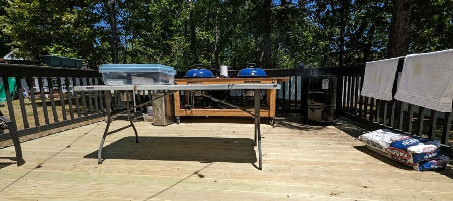
Discussion: A moment of silence for those who have fallen for our country. Memorial Day Weekend is off to an amazing start weather-wise and it looks to continue through at least Monday morning. The above image is my current view as I’m readying for a serious BBQ. We’re smoking Carolina style pulled pork, Texas style beef brisket, and Memphis style chicken. We’re grilling smashburgers and jumbo shrimp. It’s going to be amazing but today was nice enough to write this outside. I’m still not sure Monday’s possible showers will even happen either so there’s a chance we ace the entire holiday weekend with mild temperatures, dry skies, and light onshore flow. We’ll see but here’s what’s going on in the atmosphere…
A strong ridge over the Great Lakes has come face-to-face with an upper low over SE US and both are refusing to budge. At the lower levels it’s a high to the N of a low. If you want to research more about it, check out what a Rex Block is. It creates an onshore flow between them and that is what is coming off the ocean onto NJ. The block is positioned in a way that will hold all lifting/rain to the S of NJ through at least Sunday, possibly Monday. Earlier this week, there was some rain potential for NJ this weekend but the block squashed all of it to the S except for some isolated rain Monday. I think it might squash that too but not 100% certain. Will have to take another look tomorrow and/or Sunday and I’ll do a quick update accordingly.
Otherwise, conditions are great now and they will stay great through at least all of Sunday, possibly Monday too. Most of the weekend should have the same theme: Highs close to 80 away from the ocean, mid-to-upper 60s along the coast, lows down to 40s/50s, low humidity, and onshore flow…breezier along coast and light away from the ocean. Enjoy!
Friday (May 26) high temperatures are leveling off in the 70s away from the ocean but are hanging in the 60s closer to the coast. Skies are mostly clear and sunny. Winds are light-to-breezy out of the E depending on how close you are to the coast. Overnight lows should range from 40s to 50s from NNJ elevations to SNJ coasts.
Saturday (May 27) high temperatures should reach well into the 70s away from the ocean. W sides of NJ have the best chance to break 80. The coast should hang closer to 70, maybe upper-60s. Skies should be mixed with more sun than clouds. Winds should be light out of the E/SE. Overnight lows should range from 40s to 50s from NNJ elevations to SNJ coasts.
Sunday (May 28) high temperatures should reach well into the 70s again away from the ocean. W sides of the state, especially NW should have an easier time breaking 80 than on Saturday. Coastal areas will remain in the mid-to-upper 60s/near-70. Skies should be mixed with sun and clouds. Winds should remain out of the E or E/SE (onshore flow). Overnight lows should range from 40s to 50s from NNJ elevations to SNJ coasts.
Monday (May 29 – Memorial Day) high temperatures should push into the 80s for many away from the ocean. Coastal areas should hang in the upper-60s/lower-70s. Skies should vary from mixed sun and clouds in NNJ to cloudier skies in SNJ/along the coast. Can’t rule out an isolated shower or two especially in SENJ. Winds should be light out of the SE. Overnight lows should range from near-50 to near-60 from NNJ elevations to SNJ coasts.
An early look at next week indicates more of the same temperature wise through about Wednesday, maybe a few degrees cooler Tues and Wed. Then it looks like a heat wave might move in for Thursday-forward. Let’s take a closer look in a few days. Everyone have a great holiday weekend and please be safe! JC
Premium Services
KABOOM Club offers inside info forecast discussion, your questions answered, and early storm impact maps (ahead of the public). At a buck per month, it’s an extremely feasible way to show support.
My Pocket Meteorologist (MPM), in partnership with EPAWA Weather Consulting, offers professional/commercial interests, whose businesses depend on outdoor weather conditions (snow plowing, landscaping, construction, etc.), with hyper-local text message alerts/forecasts and access to the MPM premium forum—the most comprehensive and technical forecast discussion available for PA and NJ.
Jonathan Carr (JC) is the founder and sole operator of Weather NJ, New Jersey’s largest independent weather reporting agency. Since 2010, Jonathan has provided weather safety discussion and forecasting services for New Jersey and surrounding areas through the web and social media. Originally branded as Severe NJ Weather (before 2014), Weather NJ is proud to bring you accurate and responsible forecast discussion ahead of high-stakes weather scenarios that impact this great garden state of ours. All Weather. All New Jersey.™ Be safe! JC


LOCAL FORECAST | INTERACTIVE RADAR | LATEST NJ WEATHER ALERTS | WEDDING FORECAST| PRIVACY POLICY
© Copyright 2026 Weather NJ LLC. All Rights Reserved.
Some information that can be found on our website is provided by a private weather station and is not an officially recognized station for weather reporting. Though we always strive to achieve accurate reporting for our own use, it is important that you do NOT depend on the data provided here for any purpose.
