

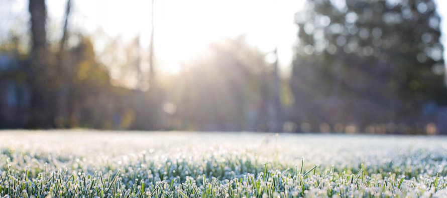
Mild Days. Cold Nights (Nov 28-Dec 1)
Discussion: There’s not much going on in the upper levels through the first part of next week. A few transient colder nights between 2-3 day periods of milder days. The only rain I see this week is late Thursday night/early Friday morning along a cold front so likely of short duration. Otherwise Wednesday looks like the mildest day of the week. The Dec 7-13 period is my next period of upper-level focus. The longer range of the GFS and European ensembles are starting to reflect what both the European weeklies (a super long-range run of the Euro) and a few other oscillations were telling us last week. Is it triggering a winter storm signal? Too soon to tell. It’s simply too soon to worry about surface physics output. What it is triggering is a cold signal. We’re talking about a strong Greenland Block which should herniate a dip in the jet stream over the E US. Until about Dec 13 (end of most long range guidance), we have a colder look that could possibly last even further into December.
Tuesday (Nov 28) high temperatures should range from near-50 to near-60 from NWNJ to SENJ. Skies should be mostly sunny. Winds should be light out of the W/NW for NNJ and light out of the S/SE for CNJ and SNJ. Overnight lows should have no problem falling into the 20s for NNJ while CNJ and SNJ hand in the 40s.
Wednesday (Nov 29) high temperatures should reach into the 50s statewide. Areas SE of the turnpike could reach into the lower-60s. Skies should be mostly. Winds should be light-to-breezy out of the W. Overnight lows should fall into the 30s for most with NNJ elevations likely dipping into the 20s.
Thursday (Nov 30) high temperatures should reach the upper-40s/lower-50s for most. Skies should be partly sunny. Cloud coverage should increase towards PM hours with rain possible overnight. Winds should be light out of the SE. Overnight lows should fall into the 40s for most with NNJ elevations likely dipping into the 30s.
Friday (Dec 1) high temperatures should range from upper-40s to mid-50s NWNJ to SENJ. After possible leftover AM rain, skies should be partly sunny. Winds should be light-to-breezy out of the NW. Overnight lows should fall into the 20s for most with coastal areas possibly hanging in the 30s.
An early look at the weekend indicates dry conditions with highs near-50 and lows in the 20s/30s. Next week currently looks slightly colder but the real cold stuff is set to arrive in the second week of December. Let’s revisit this idea in a few days. Have a great week and please be safe! JC
For comprehensive hyper-local analysis that goes way above and beyond the detail of this public forecast, check out our premium services.
Jonathan Carr (JC) is the founder and sole operator of Weather NJ, New Jersey’s largest independent weather reporting agency. Since 2010, Jonathan has provided weather safety discussion and forecasting services for New Jersey and surrounding areas through the web and social media. Originally branded as Severe NJ Weather (before 2014), Weather NJ is proud to bring you accurate and responsible forecast discussion ahead of high-stakes weather scenarios that impact this great garden state of ours. All Weather. All New Jersey.™ Be safe! JC


LOCAL FORECAST | INTERACTIVE RADAR | LATEST NJ WEATHER ALERTS | WEDDING FORECAST| PRIVACY POLICY
© Copyright 2026 Weather NJ LLC. All Rights Reserved.
Some information that can be found on our website is provided by a private weather station and is not an officially recognized station for weather reporting. Though we always strive to achieve accurate reporting for our own use, it is important that you do NOT depend on the data provided here for any purpose.

)