

Mixed Conditions Expected (April 23-27)
Discussion: Pretty boring stuff aloft. Looks like we’re in the middle of a split-flow jet pattern that could connect up by Wednesday. At 500mb, we’re leaving an area of above-average heights and moving into a period of average to below-average heights. This shouldn’t be enough to prevent warmer surface temperatures all week and through the weekend. Next week we look to enter a prolonged period of ridging which should usher in a warm start to May. The only disturbance I see this week is from a weak low crawling through the E US and turning up the coast through NJ between Tuesday night and Thursday morning. This should produce run-of-mill rainfall in that period with slightly enhanced E/SE onshore flow. Luckily astronomical tides are not expected to be high. Storm surge guidance is only seeing about a half-foot to a foot of water elevation so only minor coastal flooding would be the extent of it. Some light rain could fall again Friday night into early Saturday morning but both Saturday and Sunday look pretty good for now.
Monday (April 23) high temperatures should range from 60-70 away from the ocean. Immediate coastal regions, especially SENJ, should struggle to escape the 50s. Skies should be mostly sunny. Winds should be light out of the E/SE. Overnight lows should range from mid-30s to mid-40s NNJ to SNJ.
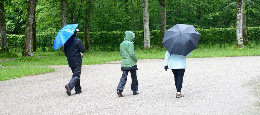
Tuesday (April 24) high temperatures should reach the upper-50s/lower-60s across NJ. Skies should start partly sunny and increase in cloud coverage by afternoon. Rain is possible as early as afternoon but more confidently by evening. Winds should be light-to-breezy out of the E/SE. Overnight lows should fall to near-50 statewide.
Wednesday (April 25) high temperatures should reach the upper-50s/lower-60s across NJ again. Skies should be mostly cloudy. Periods of rain are likely. Winds should remain out of the E/SE, lighter away from the ocean and breezier along the coast. Overnight lows should fall into the upper-40s/lower-50s for most.
Thursday (April 26) high temperatures should reach into the 60s for most. 70 is not out of the question away from the ocean. Skies should start mostly cloudy and clear through afternoon hours. Isolated remnant AM showers are possible. Winds should be light out of the W. Overnight lows should range from 40 to 50 (NNJ to SNJ).
Friday (April 27) high temperatures should reach into the 60s for most. Another chance of breaking 70 away from the ocean (interior CNJ/SNJ) exists while immediate SENJ coastal regions might cap-out in the upper-50s. Skies should be mostly sunny. Winds should be light out of the S/SW. Overnight lows should fall into the 40s statewide.
An early look at the weekend indicates more highs ranging in the 60s across NJ, with interior CNJ/SNJ having the best shot for 70 and the immediate SENJ coast possibly hanging in the upper-50s. Nights still chilly though. Pretty typical late-April stuff. No major rain or storm systems are foreseen but we’re getting to the point where isolated showers become possible on any given spring afternoon. May looks to start warm which feels pretty good to say. Let’s take another look at everything in a few days. Everyone have a great week and please be safe! JC
For comprehensive and interactive hyper-local analysis that goes way above and beyond the detail of this public forecast, check out our premium services which include early hyper-local text notifications and guaranteed individual forum interaction. A must for outdoor businesses that depend on the best real-time data possible.
Jonathan Carr (JC) is the founder and sole operator of Weather NJ, New Jersey’s largest independent weather reporting agency. Since 2010, Jonathan has provided weather safety discussion and forecasting services for New Jersey and surrounding areas through the web and social media. Originally branded as Severe NJ Weather (before 2014), Weather NJ is proud to bring you accurate and responsible forecast discussion ahead of high-stakes weather scenarios that impact this great garden state of ours. All Weather. All New Jersey.™ Be safe! JC


LOCAL FORECAST | INTERACTIVE RADAR | LATEST NJ WEATHER ALERTS | WEDDING FORECAST| PRIVACY POLICY
© Copyright 2026 Weather NJ LLC. All Rights Reserved.
Some information that can be found on our website is provided by a private weather station and is not an officially recognized station for weather reporting. Though we always strive to achieve accurate reporting for our own use, it is important that you do NOT depend on the data provided here for any purpose.

)