Mixed Weather Expected this Week (Nov 3-7)

The first part of the week looks great with plenty of sunshine and mild fall temperatures. Another low pressure disturbance then looks to disrupt the region in the Thursday-Friday period. This will be the third system in a few weeks now that brings much needed rain to the area. All eyes then turn to an even stronger possible system early next week. Let’s take one day at a time…
Monday will be mostly sunny with winds out of the NW (5-15mph with gusts to 20). There will still be a chill to the air as afternoon highs reach into the 60s statewide. Overnight lows will then drop into the 30s (inland) and 40s (coastal/SENJ).
Tuesday will feel milder than Monday as 5-15mph winds shift to the W/SW with partly cloudy skies. Afternoon high temperatures should reach well into the 60s statewide (maybe even the lower 70s) before dropping into the upper 50s overnight.
Wednesday should continue the mild stretch of temperatures with variable clouds and highs in the upper 60s. Expect clouds to increase throughout the day ahead of the Thursday-Friday system. Winds should be 5-15mph out of the SW before overnight lows drop into the upper 40s/lower 50s.
Thursday looks wet as a low pressure disturbance transfers through from W/NW to E/SE and reforms over the ocean just off of Delmarva. Afternoon highs should still make it into the 60s despite on and off colder precipitation. By Thursday evening wind gusts could reach 20mph until the storm begins to move away to the NE.
Friday should start with mostly rain and wind until everything tapers off by late-morning/afternoon. The low pressure system will be moving away to the NE which means more cold and gusty W/NW winds. Highs should reach the mid-to-upper 50s before falling into the 30s overnight. Get ready for more wind chills!
An early peek at the weekend indicates a cold and clear Saturday followed by an increasing cloudy Sunday. Another low pressure disturbance could move through next Sunday-Tuesday. I’ll be watching!
This Monday-Friday Outlook is proudly powered and sponsored by weathertrends360 (www.weathertrends360.com). Through 150 years of world wide weather data analysis, weathertrends360 has developed proprietary algorithms and methods that predict weather up to a year with 84% accuracy. They are second to none in the long range so check them out for business planning, travel planning, etc.
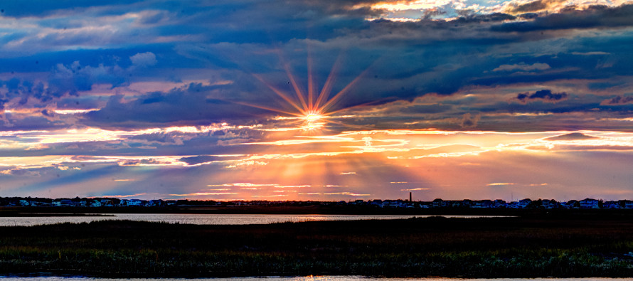
I took this photo a few weeks ago from Great Bay Boulevard (Seven Bridges Road). Be safe and have a great week! JC
Jonathan Carr (JC) is the founder and sole operator of Weather NJ, New Jersey’s largest independent weather reporting agency. Since 2010, Jonathan has provided weather safety discussion and forecasting services for New Jersey and surrounding areas through the web and social media. Originally branded as Severe NJ Weather (before 2014), Weather NJ is proud to bring you accurate and responsible forecast discussion ahead of high-stakes weather scenarios that impact this great garden state of ours. All Weather. All New Jersey.™ Be safe! JC


