

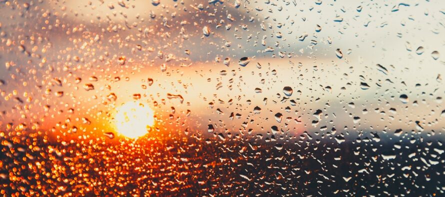
New Jersey to Dry Out
Discussion: The Inverted Trough (IVT) has done it’s thing and targeted NYC and surrounding areas (including NENJ/ECNJ) with the heaviest rainfall of the system. I’m seeing some pretty intense flash flooding imagery and videos coming out of NYC. Low pressure is now consolidating a few hundred miles off Delmarva and that should begin to drag the heavier precipitation out of that ground zero area by later this evening. SWNJ and other NJ areas have seen very little from this system compared to what NENJ/ECNJ/NYC have seen. With that said, all of NJ will just be left with spotty showers tonight/overnight rotating around the coastal low’s W side (from N to S)…along with some mild-to-moderate N winds (especially near the coast). I still expect the rain to end by around 8-9am tomorrow morning (Saturday morning). But the NE winds and clouds will take longer to subside (by Saturday night). Sunday looks amazing in the wake of everything.
Friday (Sept 29) high temperatures have maxed in the general 60-70 range from NNJ elevations to SNJ coasts. Skies should be mostly cloudy with periods of rainfall continuing to favor/target NENJ/ECNJ/NYC areas and points NE of such at least through early evening. Seeing a lot of flash flooding in those areas. Winds are breezy away from the ocean, gustier along the coast, out of the NE and should stay that way overnight as temps fall into the 55-60 range. The ocean should remain rough with dangerous rip currents and the potential for minor coastal flooding.
Saturday (Sept 30) high temperatures should reach the mid-to-upper 60s for most NJ locations. Skies should start out cloudy and rainy in the morning. By about 8-9am, the rain should end leaving NJ with cloudy/breezy (NE wind) conditions for the rest of the day. The sun should eventually make it out for afternoon hours as the day generally improves from start to finish. The ocean should remain rough however possibly into Sunday. I know this is good news for LBI’s 2023 Chowderfest once the morning sprinkles clear out. Overnight lows should then range from 45-55 from NNJ elevations to SNJ coasts as skies continue to clear with winds becoming N/NW.
Sunday (Oct 1) high temperatures should reach the mid-70s for most NJ locations. Skies should be mostly sunny with a pleasant feel. Winds should be light out of the N in general, occasionally breezy. Overnight lows should fall into the low-to-mid 50s for most NJ locations.
An early look at next week indicates dry conditions. Monday and Tuesday look a bit warmer with a few spots likely breaking 80. Otherwise, 75-80 should be the theme of the week with low humidity and a pleasant feel thanks to high pressure in control. Much welcomed after the recent rainfall. Have a great weekend and please be safe! JC
Premium Services
KABOOM Club offers inside info forecast discussion, your questions answered, and early storm impact maps (ahead of the public). At a buck per month, it’s an extremely feasible way to show support.
My Pocket Meteorologist (MPM), in partnership with EPAWA Weather Consulting, offers professional/commercial interests, whose businesses depend on outdoor weather conditions (snow plowing, landscaping, construction, etc.), with hyper-local text message alerts/forecasts and access to the MPM premium forum—the most comprehensive and technical forecast discussion available for PA and NJ.
Jonathan Carr (JC) is the founder and sole operator of Weather NJ, New Jersey’s largest independent weather reporting agency. Since 2010, Jonathan has provided weather safety discussion and forecasting services for New Jersey and surrounding areas through the web and social media. Originally branded as Severe NJ Weather (before 2014), Weather NJ is proud to bring you accurate and responsible forecast discussion ahead of high-stakes weather scenarios that impact this great garden state of ours. All Weather. All New Jersey.™ Be safe! JC


LOCAL FORECAST | INTERACTIVE RADAR | LATEST NJ WEATHER ALERTS | WEDDING FORECAST| PRIVACY POLICY
© Copyright 2026 Weather NJ LLC. All Rights Reserved.
Some information that can be found on our website is provided by a private weather station and is not an officially recognized station for weather reporting. Though we always strive to achieve accurate reporting for our own use, it is important that you do NOT depend on the data provided here for any purpose.
