

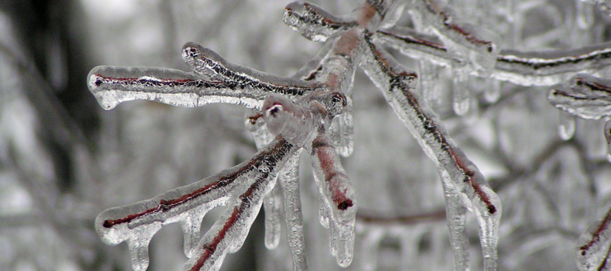
NNJ/CNJ Ice Storm Detected
Discussion: Models are gaining confidence on the idea of the W US trough weakening and tracking E through the Great Lakes/New England regions between Wednesday and Saturday. This would create an environment for a weak and flat surface low to track from Kentucky through SNJ between Thursday PM and Friday afternoon.
The low never really dips below 1000mb however all of its moisture heist will slam into an wall of below-freezing temperatures. This boundary will divide below-freezing to the N of it/above-freezing to the S of it. It should first start across CNJ/SNJ Thursday night and advance northward to about I-80 (maybe just N of) by noon Friday.
Precipitation will slide along the boundary with the weak low. For NJ, on the ground, it means precipitation starts between 7-10pm Thursday night and tapers off Friday afternoon. Early-to-late Friday morning would be the peak of precipitation.
The entire event will transition from cold (Thursday night) to warm (Friday mid-day). Snow is only on the table for NNJ, possibly CNJ, during the initial start (late Thursday night into early Friday morning). A few inches could stack up N of I-78, likely N of I-80/NW of I-287, and especially in the highest NWNJ elevations. For all areas (with the exception of the highest NWNJ elevations), snow will change to ice as the frontal boundary advances northward aloft before advancing northward at the surface (warm front passage from S to N).
After any snow changes over to ice, some initial sleet accumulation is expected but as soon as the aloft warm layer grows thick enough, sleet will change to freezing rain. Then until the surface warms above 32F, that rain will freeze on impact. Everything I just mentioned really only applies to areas along/N of I-195 and maybe some areas SE of 95 in WCNJ/SWNJ. For everyone S of I-195/SE of I-295, this should be a faster changeover to rain after some initial wintry mix. Extreme SNJ/SENJ could start, stay, and end as cold plain rain.
In English: Tonight should remain cloudy, mild, and breezy. Tomorrow should feel downright warm as afternoon peak temps range from near-60 to near-70. Temps then plunge Wednesday night into Thursday morning for a colder Thursday. From Thursday night through Friday looks interesting as a mix of snow, sleet, freezing rain, and rain push through NJ from W to E as temperatures rise from S to N. It looks like NNJ will see the most snow at first then end as ice/rain. Can’t rule out higher NWNJ elevations staying mostly accumulating snow but that is a localized micro-climate of its own. CNJ could see some snow change to mostly ice and end as brief rain. SNJ might start as ice but quickly change over to mostly rain. Tomorrow we’ll have impact maps out but that’s the general idea. I see many closures and delays Friday morning for areas along and N of I-195, especially N of I-78…not for snow accumulation but for ice-related safety concerns. Have a great rest of your Tuesday and please be safe! JC
Jonathan Carr (JC) is the founder and sole operator of Weather NJ, New Jersey’s largest independent weather reporting agency. Since 2010, Jonathan has provided weather safety discussion and forecasting services for New Jersey and surrounding areas through the web and social media. Originally branded as Severe NJ Weather (before 2014), Weather NJ is proud to bring you accurate and responsible forecast discussion ahead of high-stakes weather scenarios that impact this great garden state of ours. All Weather. All New Jersey.™ Be safe! JC


LOCAL FORECAST | INTERACTIVE RADAR | LATEST NJ WEATHER ALERTS | WEDDING FORECAST| PRIVACY POLICY
© Copyright 2026 Weather NJ LLC. All Rights Reserved.
Some information that can be found on our website is provided by a private weather station and is not an officially recognized station for weather reporting. Though we always strive to achieve accurate reporting for our own use, it is important that you do NOT depend on the data provided here for any purpose.
