

Nov 17: Cold Temperatures Approaching
Discussion: Sunday night’s cold front was on the front of the trough that we (and most of the Mid-Atlantic/Northeast US) are now underneath. This means low geopotential heights and a condensed cooler lower atmosphere. Today, an upper level disturbance moved through, on the S side of the trough/jet, and brought some additional moisture with it. Some areas of NNJ saw flurries while the rest of NJ saw some light scattered rain. The moisture from this disturbance was also assisted by flow over the Great Lakes. Some areas to the W and NW of NJ saw more concentrated lake-effect streamers.
Like all cyclonic disturbances that move away to our E, we will now see an additional boost of N/NW flow behind it. Couple that with a stronger and broad area of high pressure tracking to the SW of NJ, and we’re looking at a stiff period of cold northerly flow tonight through early Thursday morning. You should already be feeling and hearing the N/NW winds picking up.
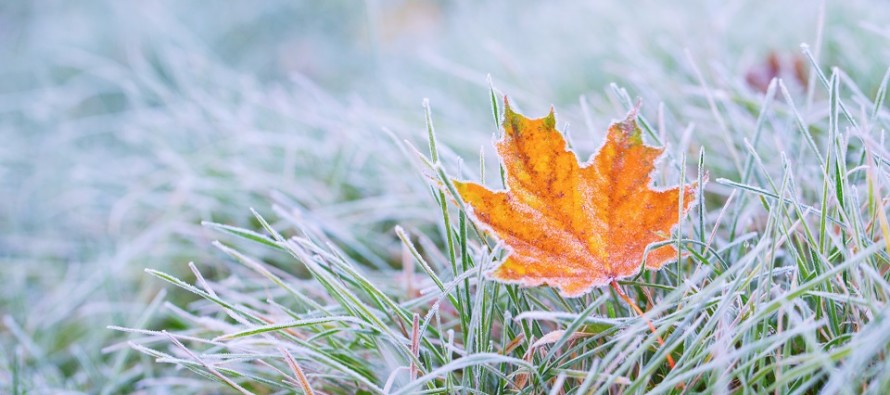
This is setting the stage for a cold Wednesday and Wednesday overnight into Thursday morning. The cold front Sunday night put us in first gear Monday and Today re: cold intensity. This disturbance should now put us in second gear…conditions you might expect in January rather than November. Wednesday night is probably the first night that things like pipes should be considered. I think the NWNJ elevations are likely going down into the teens, possibly single digits for the highest elevations. The rest of NJ should have no problem falling well into the 20s with teens possible for areas like the Pine Barrens. Your automated point and click forecasts might suggest temperatures not as cold but they are likely not factoring in radiational cooling from clear skies and light winds.
Thursday morning should therefore be a cold start but after that we should moderate through the weekend and into next week. I’m not seeing anything considered very cold again until Thanksgiving weekend when another trough moves in.
In English: Tonight through early Thursday morning should feel like January. Wednesday night into Thursday AM will be the coldest hours of this period. It’s not a bad idea to disconnect any hoses or make sure your properties are ready for below-freezing temperatures likely statewide. Thursday (once the sun is up) through this weekend and Thanksgiving should return to average temperatures before the next cold shot likely arrives Thanksgiving weekend. Be safe! JC
Download the free Weather NJ mobile app on Apple and/or Android. It’s the easiest way to never miss Weather NJ content. Our premium services go even further above and beyond at the hyper-local level.
Jonathan Carr (JC) is the founder and sole operator of Weather NJ, New Jersey’s largest independent weather reporting agency. Since 2010, Jonathan has provided weather safety discussion and forecasting services for New Jersey and surrounding areas through the web and social media. Originally branded as Severe NJ Weather (before 2014), Weather NJ is proud to bring you accurate and responsible forecast discussion ahead of high-stakes weather scenarios that impact this great garden state of ours. All Weather. All New Jersey.™ Be safe! JC


LOCAL FORECAST | INTERACTIVE RADAR | LATEST NJ WEATHER ALERTS | WEDDING FORECAST| PRIVACY POLICY
© Copyright 2025 Weather NJ LLC. All Rights Reserved.
Some information that can be found on our website is provided by a private weather station and is not an officially recognized station for weather reporting. Though we always strive to achieve accurate reporting for our own use, it is important that you do NOT depend on the data provided here for any purpose.
