

Oct 15: Rain and Wind Approaching!
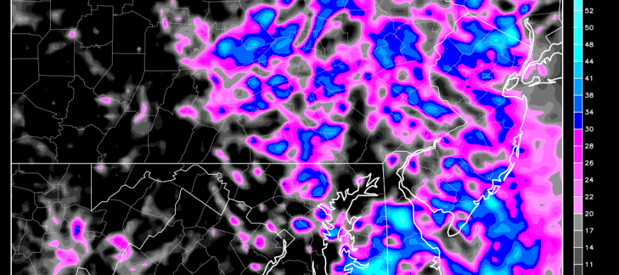
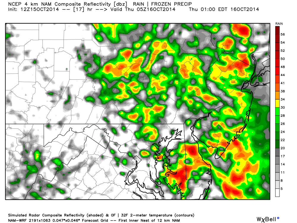
A strong upper level low continues to push a frontal passage eastward into slowly departing high pressure causing southerly flow, rain and wind. The main area of precipitation is currently over western Maryland and central PA. This will slowly filter eastward into New Jersey today as early as this afternoon but definitely by nightfall. The heaviest periods of rain and wind will occur overnight but should clear by rush hour from SW to NW. Although there might be some lightning, Severe Thunderstorm Warnings will likely be triggered for wind (if triggered). This is the 12Z high-res 4km NAM showing expected precipitation intensity at 1AM tomorrow morning:
Expect temperatures to drop after this frontal passage. A few inches of rain are possible as well as isolated instances of 40-60mph wind gusts. The NWS SPC has a small chance of isolated tornadoes as well so please be safe! JC
Jonathan Carr (JC) is the founder and sole operator of Weather NJ, New Jersey’s largest independent weather reporting agency. Since 2010, Jonathan has provided weather safety discussion and forecasting services for New Jersey and surrounding areas through the web and social media. Originally branded as Severe NJ Weather (before 2014), Weather NJ is proud to bring you accurate and responsible forecast discussion ahead of high-stakes weather scenarios that impact this great garden state of ours. All Weather. All New Jersey.™ Be safe! JC


LOCAL FORECAST | INTERACTIVE RADAR | LATEST NJ WEATHER ALERTS | WEDDING FORECAST| PRIVACY POLICY
© Copyright 2026 Weather NJ LLC. All Rights Reserved.
Some information that can be found on our website is provided by a private weather station and is not an officially recognized station for weather reporting. Though we always strive to achieve accurate reporting for our own use, it is important that you do NOT depend on the data provided here for any purpose.
