

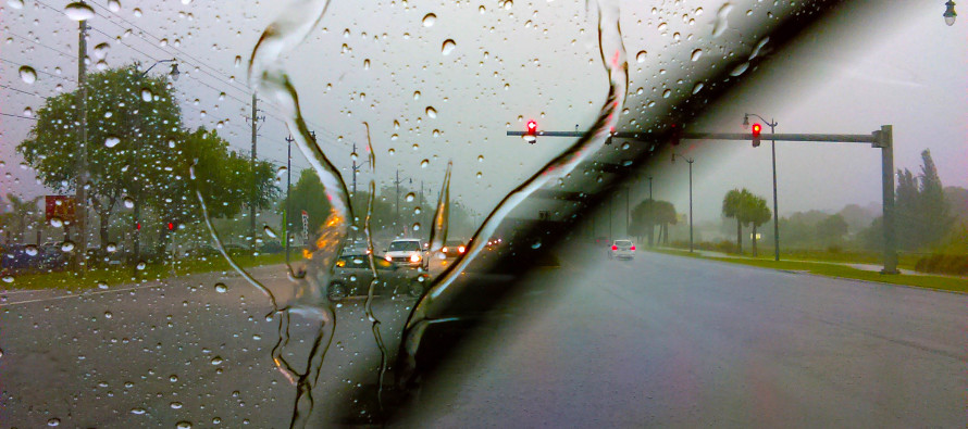
Oct 27: Rain and Wind Approaching
Radar indicates a large shield of precipitation moving NE towards New Jersey and surrounding areas:
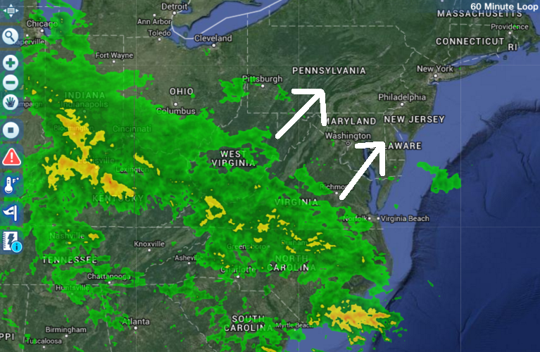
I anticipate this to reach our area overnight and last for most of tomorrow. The latest short-range model guidance indicates between .75 and 2 inches of total rainfall by Thursday morning. Only extremely localized amounts of 2+ inches are likely. We wont know where that will be (if it happens) until any convective banding forms during mesoscale observations. Regardless, most of Wednesday should see washout conditions with a few short-lived breaks in precipitation throughout the day. While this rainfall is much needed, it unfortunately will have just a marginal impact on our drought situation.
Winds could gust as high as 30-40mph at times so make sure any outdoor Halloween decorations are secured. Wind direction should start out of the S/SW tonight and finish out of the W/NW tomorrow evening. There’s also the chance for a few embedded thunderstorms tomorrow. Such thunderstorm activity will likely only reach strong criteria, not severe but let’s leave severe on the table as a small isolated possibility. This really just seems to me like a run-of-the-mill October rain and wind event. It just happens to be irregular, maybe odd is a better word, having formed from some of Hurricane Patricia’s remnant energy.
The good news? This system should clear out by Thursday afternoon. This will allow for a dry and mostly sunny Friday-Saturday with seasonably average temperatures. Sunday looks a little unsettled but let’s revisit that. I’ll have the fully detailed weekend outlook posted on Thursday. Be safe! JC
Jonathan Carr (JC) is the founder and sole operator of Weather NJ, New Jersey’s largest independent weather reporting agency. Since 2010, Jonathan has provided weather safety discussion and forecasting services for New Jersey and surrounding areas through the web and social media. Originally branded as Severe NJ Weather (before 2014), Weather NJ is proud to bring you accurate and responsible forecast discussion ahead of high-stakes weather scenarios that impact this great garden state of ours. All Weather. All New Jersey.™ Be safe! JC


LOCAL FORECAST | INTERACTIVE RADAR | LATEST NJ WEATHER ALERTS | WEDDING FORECAST| PRIVACY POLICY
© Copyright 2026 Weather NJ LLC. All Rights Reserved.
Some information that can be found on our website is provided by a private weather station and is not an officially recognized station for weather reporting. Though we always strive to achieve accurate reporting for our own use, it is important that you do NOT depend on the data provided here for any purpose.
