

Oct 8: Friday Rain and Possibly Storms Expected!
Rainfall and even some embedded thunderstorms are expected tomorrow as low pressure moving through the Great Lakes towards Maine drags a cold front across New Jersey. The good news is that it should be out of here by Saturday morning as high pressure moves in to dominate both Saturday and Sunday, allowing for a beautiful cool and crisp fall weekend.
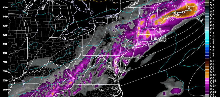
We’re talking overnight lows in the 30s for interior areas and NJ elevations and 50s for the coast with statewide high temperatures in the 60s. Lets look at some guidance for tomorrow, specifically the GFS at 850mb showing temperatures, precipitation and pressure for Friday afternoon-evening:
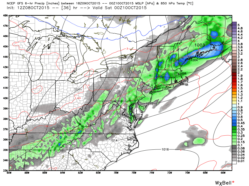
As you can see, we have a classic linear precipitation shield ahead of the cold front. As far as precipitation totals go, I would only expect between .1 and .25 of an inch of total rainfall associated with the entire frontal passage. Perhaps higher if any localized heavy downpours occur. Otherwise this doesn’t seem like that big of a deal with regard to drought levels. As far as thunderstorms go, expect possible embedded activity with a low likelihood of severe criteria being reached. I’ll be monitoring live should such criteria be met just in case.
Rain should start as early as Friday morning for NWNJ areas and as early as afternoon for SENJ. It should all clear out by 7AM on Saturday which will set up a brisk but beautiful fall feel for Saturday and Sunday. I’ll have the weekend outlook posted early tomorrow morning but I don’t expect much to change. Be safe! JC
Model images used with permission from WeatherBell Analytics.
Jonathan Carr (JC) is the founder and sole operator of Weather NJ, New Jersey’s largest independent weather reporting agency. Since 2010, Jonathan has provided weather safety discussion and forecasting services for New Jersey and surrounding areas through the web and social media. Originally branded as Severe NJ Weather (before 2014), Weather NJ is proud to bring you accurate and responsible forecast discussion ahead of high-stakes weather scenarios that impact this great garden state of ours. All Weather. All New Jersey.™ Be safe! JC


LOCAL FORECAST | INTERACTIVE RADAR | LATEST NJ WEATHER ALERTS | WEDDING FORECAST| PRIVACY POLICY
© Copyright 2026 Weather NJ LLC. All Rights Reserved.
Some information that can be found on our website is provided by a private weather station and is not an officially recognized station for weather reporting. Though we always strive to achieve accurate reporting for our own use, it is important that you do NOT depend on the data provided here for any purpose.
