

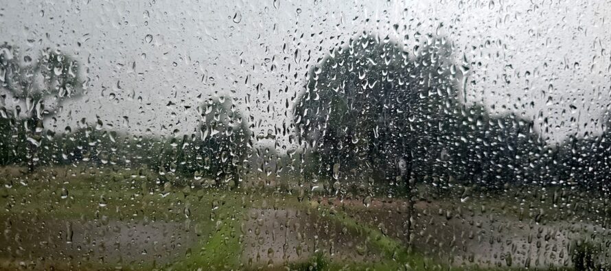
Rainstorm Detected
Discussion: With an anticipated rain event this week, we’re going to go article mode instead of weekly outlook. Today (Monday) was another day where skies were sunny as temps maxed in the 55-60 range…another beautiful fall today to add on to the stretch that included this past weekend. Tuesday should be similar regarding temperatures, but we should see clouds and NE winds gradually pickup throughout the day into evening hours. The least popular low on the playing field will pass to the SE of NJ between Tuesday and Wednesday with a high pressure squeeze to it’s N. This is why coastal regions could see wind gusts to 40mph Tuesday into Wednesday with lesser but noticeable winds away from the ocean. Just a small wildcard chance that some outer rain bands from this weaker coastal low make it into the SENJ region. Otherwise NJ should stay mostly dry through Wednesday daytime hours.
The most popular low on the playing field, in the N Hemisphere, likely world, right now is Major Hurricane Melissa. Melissa is a category 5 but would be ranked a 6 if there was such a category. It has had almost 48 hours to stack and strengthen in a shearless environment over extremely warm water. It’s perfectly symmetrical and exhibits a signature on satellite that hasn’t been seen since maybe 2005. Jamaica, especially W Jamaica, is in for a rough time with landfall expected during Tuesday PM hours. By Wednesday PM, Melissa should be through Cuba and over the Bahamas. By Thursday morning, Melissa should be over the ocean with only Bermuda left to pass over on Friday. Melissa will not affect NJ with primary impacts however her remnants, once up to Bermuda latitude, might interact in the upper levels with the second most popular low on the playing field, the one that will bring rain and wind to the region between late Wednesday night, through all of Thursday, and possibly into early Friday morning. The interaction could enhance rainfall over NJ but that’s the most Melissa can do for NJ outside of some enhanced rip currents and surf.
The one thing that has been consistently modeled over the past few weeks is an aggressive trough forming over the E US and swinging negative between Wed-Fri. Whenever this happens, a surface low is guaranteed to spawn in the lower-right area of the trough. What has lacked confidence on model guidance has been whether this surface low would track just offshore as another coastal storm (possibly another nor’easter if a stall or retrograde) or an inland low that cuts through the Appalachian Mountains. Confidence is now gaining in the latter which takes a coastal storm off the table but still brings rain and wind to NJ in that Wed PM to Fri AM window. Most data has the low forming over TN, tracking E into the Carolinas and then turning to the N into PA. This would bring a slug of rainfall and S/SW winds through NJ primarily during Thursday hours. The rain might delay its start until after midnight Wednesday night and exit just before midnight Thursday night—meaning Thursday is the only day to see rainfall. However given the larger synoptic nature of the upper low and trough involved, let’s just go with late Wednesday night through early Friday morning with Thursday the meat and potatoes of the rainstorm.
Rainfall expectations appear statewide at this point meaning all of NJ should see some with no geographical areas expected to see more than others. With that said, I think .75 to 1.25 inches is a safe bet NJ-wide. There’s no way to pinpoint where the rain might band up more but it’s certainly possible that rainfall totals could creep more into the 1.25 to 2 inch mark in some locations.
I think everyone should see wind gusts to 30mph as a safe bet however wind gusts to 40mph are possible in a more isolated nature. The windiest period should be from sunrise Thursday to Thursday afternoon. Expect a gradual buildup Wednesday evening into Thursday morning and a gradual let down from Thursday night into Friday morning.
This is all pointing to rain ending by early Friday AM with ample time for grounds to dry for Halloween and trick-or-treating hours. It might be colder and windy though with backside winds out of the W/NW kicking up Friday afternoon and subsiding slightly for evening hours. So colder and windy but not rainy for trick-or-treating hours is where I’m leaning at the moment.
In English: Today (Monday) was another gorgeous fall day. Tuesday will start out the same but gradually increase clouds and onshore winds from a separate low passing through under a high. Wednesday should remain cloudy with winds picking up even more towards evening and rain moving in around midnight or just after. Thursday looks rainy with gusty S/SW winds all while staying in the 55-65 temperature range. Rain should taper off between late Thursday night and early Friday morning. Winds should switch from the S/SW to W/NW Halloween morning and remain breezy/gusty through afternoon. With that said, trick-or-treat hours on Friday should be dry but colder and windy. Please dress accordingly if dressing up for the holiday. I will update accordingly this week heading into it. Be safe! JC
Premium Services
KABOOM Club offers ad-free content, inside info forecast discussion, your questions answered, and early storm impact maps and video releases (ahead of the public). At $1.99 per month, it’s an extremely feasible way to show additional support for Weather NJ and you can turn it on and off for however many months you wish. Think of it as a tip jar with perks. Available onFacebook or Patreon.
My Pocket Meteorologist (MPM), in partnership with EPAWA Weather Consulting, offers professional/commercial interests, whose businesses depend on outdoor weather conditions (snow plowing, landscaping, construction, etc.), with hyper-local text message alerts/forecasts from real meteorologists and access to the MPM premium forum—the most comprehensive and technical forecast discussion available for PA and NJ.
Jonathan Carr (JC) is the founder and sole operator of Weather NJ, New Jersey’s largest independent weather reporting agency. Since 2010, Jonathan has provided weather safety discussion and forecasting services for New Jersey and surrounding areas through the web and social media. Originally branded as Severe NJ Weather (before 2014), Weather NJ is proud to bring you accurate and responsible forecast discussion ahead of high-stakes weather scenarios that impact this great garden state of ours. All Weather. All New Jersey.™ Be safe! JC


LOCAL FORECAST | INTERACTIVE RADAR | LATEST NJ WEATHER ALERTS | WEDDING FORECAST| PRIVACY POLICY
© Copyright 2025 Weather NJ LLC. All Rights Reserved.
Some information that can be found on our website is provided by a private weather station and is not an officially recognized station for weather reporting. Though we always strive to achieve accurate reporting for our own use, it is important that you do NOT depend on the data provided here for any purpose.
