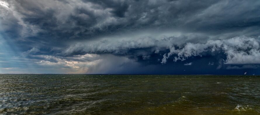
Relentless Stormy Humidity

Discussion: I hope everyone had a great July 4th weekend! As promised, Friday was spectacular, and Saturday-Sunday saw a slow rebuild of humidity and temperatures. Here we are today (Monday) when the relentless humidity was expected to return. And that it has.
Chantal is now classified as a Post-Tropical Storm by the National Weather Service National Hurricane Center with its center of circulation currently near the Virginia Beach/Southern Delmarva area. Chantal is very weak regarding cyclonic synoptic winds. The cyclonic wind direction around Chantal however is adequate to produce wind shear against its overall S flow general environment. Chantal is also featuring the expected package of relentless humidity which has obviously begun pumping into NJ and this should “stick around” for the rest of this week. Dew points are well into the 70s (close to 80 in parts of SNJ). With actual temps in the 80s (nearing 90 along the I-95/NJTP corridor), we’re currently experiencing heat indices 95-102. This is a tropical air mass and therefore, thunderstorms can literally form overhead from peaceful little cumulus clouds in very little time. And that’s what I expect today…isolated-to-scattered thunderstorms forming out of nowhere. In most cases they will dump out, produce some lightning and straight-line wind, then suffocate on it’s own lack of updraft. Adjacent cells will then form from the downdraft gust fronts generated by the collapsing prior cell. Again, we call these pulsers and that’s what I am expecting for much of this evening. But we can’t underestimate the “dirty energy” from a fizzling tropical cyclone. Such could enhance the downpours and possibly spark an isolated tornado or two. The most noticeable surface features from these are downpours and frequent lightning. However, given the shear produced from Chantal’s remnant cyclonic flow, you have to watch these little isolated cells for weak tornado formation. Just a small non-zero possibility. Once that clears out, we’re left with above-average geopotential height anomalies and light tropical-origin flow the rest of the week (plenty of sun but hazy, hot and humid and full of random isolated storm chances). All mesoscale activity. Not seeing any synoptic storm systems through the rest of this week.
Forecast
Monday (July 7) high temperatures should reach the mid-to-upper 80s for most NJ locations. A few areas near I-95/NJTP over 90. A very humid feel. Skies should be mixed with lots of sun, a decent amount of clouds, scattered showers, and isolated thunderstorms capable of producing an isolated tornado. Winds should be light out of the S/SE (away from any t-storms). Overnight lows should stay above 70 statewide and in some CNJ/SNJ cases, possibly above 75 as t-storm chances persist into Tuesday morning.
Tuesday (July 8) high temperatures should reach the lower 90s for most NJ locations. NWNJ elevations and coasties might hang in the mid-to-upper 80s. Skies should be a typical NJ mid-summer tropical mixed bag…sun, clouds, showers, and thunderstorms with a humid feel. Winds should be light out of the W/SW (West wind for beach/fly interests!). Overnight lows should range from about 68-75 NNJ to SNJ as t-storm chances again persist overnight.
Wednesday (July 9) high temperatures should reach the mid-to-upper 80s for most NJ locations. The elevated humidity should make it feel well into the 90s. Skies should be mixed with sun and clouds. Not as unsettled as Monday and Tuesday, but still the chance for isolated showers and thunderstorms within an overall sunny day with clouds. Winds should be light out of the S/SW. Overnight lows should stay above 70 statewide with the exception of the highest NWNJ elevations falling into the mid-to-upper 60s. Isolated t-storms possible overnight.
Thursday (July 10) high temperatures should only reach near-80 however humidity will make it feel more like 85-90. Another mixed bag of tropical NJ mid-summer weather conditions… sun, clouds, showers, and thunderstorms with a humid feel. Winds should be light out of the S/SE. Overnight lows should range from about 65-73 NNJ to SNJ as more isolated t-storms remain possible.
Friday (July 11) high temperatures should struggle to escape the 70s for most of NJ. The day looks stormier (more like Monday and Tuesday) rather than just isolated storms (like Wednesday and Thursday). Elevated humidity remains in place. Winds should be light-to-breezy out of the E/NE. Overnight lows should range from about 65-73 NNJ to SNJ again but with reduced t-storm chances compared to every other night this week.
An early look at the weekend (July 12-13) indicates unsettled conditions (rain and storms possible) with temperatures maxing in the low-to-mid 80s and falling to 65-72 overnight. The humidity should continue until hopefully a cold front the following week. Have a great week this week and please be safe! JC
Premium Services
KABOOM Club offers ad-free content, inside info forecast discussion, your questions answered, and early storm impact maps and video releases (ahead of the public). At two bucks per month, it’s an extremely feasible way to show additional support for Weather NJ. Think of it as a tip jar with perks. Available onFacebook or Patreon.
My Pocket Meteorologist (MPM), in partnership with EPAWA Weather Consulting, offers professional/commercial interests, whose businesses depend on outdoor weather conditions (snow plowing, landscaping, construction, etc.), with hyper-local text message alerts/forecasts and access to the MPM premium forum—the most comprehensive and technical forecast discussion available for PA and NJ.
Jonathan Carr (JC) is the founder and sole operator of Weather NJ, New Jersey’s largest independent weather reporting agency. Since 2010, Jonathan has provided weather safety discussion and forecasting services for New Jersey and surrounding areas through the web and social media. Originally branded as Severe NJ Weather (before 2014), Weather NJ is proud to bring you accurate and responsible forecast discussion ahead of high-stakes weather scenarios that impact this great garden state of ours. All Weather. All New Jersey.™ Be safe! JC


