Seasonably Average Week Expected (Dec 1-5)

With the exception of Tuesday, we’re looking at a seasonably average week for December. Some would even call it mild. Higher elevations of NW New Jersey could see wintry precipitation Tuesday night into Wednesday morning. It looks like rain for all lower elevations. A series of high pressure systems will steamroll from west to east along the Canadian border. That should result in a few ups and downs in temperature. Let’s look at each day:
Monday high temperatures should have no problem soaring into the 50s and even 60s in points SE. Expect a light NW winds with a mixed bag of sun and clouds during the day. A slow moving cold front could set off some light showers before overnight lows fall into the 30s (20s for NWNJ).
Tuesday will top out in the upper-30s (NWNJ) and 40s (rest of NJ). Light winds should slowly switch to the E/NE. Clouds should linger throughout the day as more precipitation moves through. As overnight temperatures fall into the 30s, wintry precipitation is possible for higher elevations of NWNJ (above 1,000 ft). Only trace accumulations would be expected. Non accumulating snowflakes/mix would be possible in NENJ and CNJ. The rest of the state (all lower elevations) would likely see rain. A nuisance event that would last into the overnight.
Wednesday should start wet but eventually dry out by afternoon. Clouds should linger as high temperatures range from upper-40s to mid-50s. A light SW flow of winds will return before overnight lows fall into the 30s statewide.
Thursday looks dry but partly cloudy with highs in the 40s and 50s. Winds will be 5-15mph out of the N. Overnight lows then fall into the 20s and 30s with another light batch of precipitation expected to roll through by Friday morning.
Friday might start with lingering showers but eventually dry out. Highs should reach the mid-to-upper 4os with light NW winds. A mixed bag of sun and clouds is expected before overnight lows return to the 20s and 30s. An early look at the weekend indicates unsettled weather. Will monitor until greater confidence is evident on guidance.
This Monday-Friday Outlook is proudly sponsored by weathertrends360 (www.weathertrends360.com). Through 150 years of world wide weather data analysis, weathertrends360 has developed proprietary algorithms and methods that predict weather up to a year with 84% accuracy. They are second to none in the long range so check them out for business planning, travel planning, etc.
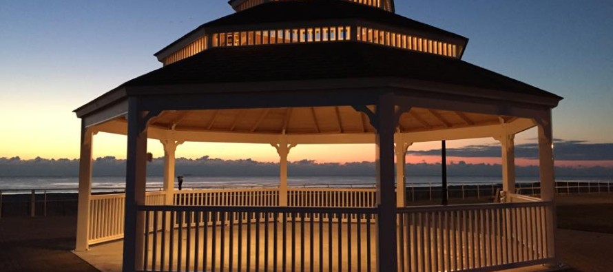
Image Credit: Bradley Beach Gazebo by Joe Parrillo
Be safe and have a great week! JC
Jonathan Carr (JC) is the founder and sole operator of Weather NJ, New Jersey’s largest independent weather reporting agency. Since 2010, Jonathan has provided weather safety discussion and forecasting services for New Jersey and surrounding areas through the web and social media. Originally branded as Severe NJ Weather (before 2014), Weather NJ is proud to bring you accurate and responsible forecast discussion ahead of high-stakes weather scenarios that impact this great garden state of ours. All Weather. All New Jersey.™ Be safe! JC


