

Sept 27: Matthew to Form Soon
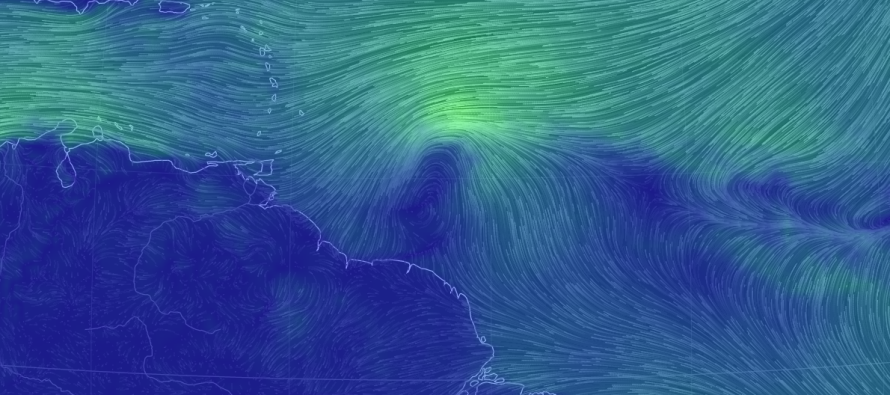
Invest 97L is approaching the southern Lesser Antilles and will soon be inside the E Caribbean Sea as a named tropical cyclone. Beyond that, models continue to spray a range of solutions with anything from the Gulf of Mexico to the Gulf of Maine to an out to sea solution. With that said, North American impact is increasing slightly in confidence with extreme uncertainty as to where. At this point, about all I can say for sure it that Matthew will enter the E Caribbean and likely look to escape the Caribbean on the N side (Cuba-Hispaniola-Puerto Rico).
Matthew’s track from there is going to highly depend on the upper-level pattern moving across North America from W to E. If there is a trough with an upper-level low directly over Matthew then everything would likely be lifted out to sea (or at least staying slightly offshore). If a ridge with high pressure is directly over Matthew then he would likely be turned into the Gulf of Mexico or SE US. If the ridge/high pressure positioned itself perfectly to the N/NE of Matthew AND the upper level low swinging through the northern-central US becomes a player, then Matthew could be pulled into the US East Coast in a Sandy-like nature via extra-tropical transition and capture. All of these possibilities are still on the table and I won’t have a solid idea of which solution will verify until Matthew is in the Caribbean this weekend making his turning choice.
In the shorter-term E Cuba, Jamaica, Hispaniola, Puerto Rico and neighboring smaller island interests should be monitoring Matthew closely. Southern Lesser Antilles impacts are expected this ~Wednesday-Thursday AM as a tropical storm with impacts to the aforementioned northern Caribbean islands later this weekend as possible hurricane. The gulf coast and US East Coast will have a much better idea as to what is going to happen come Sunday night/Monday AM. At that point we can look at upper-level observations and see what model is handling it best.

In English: Matthew will form and hit the southern Lesser Antilles this ~Wednesday, likely as a tropical storm. Matthew will then strengthen in the Caribbean and make a turn to the N. He could hit the northern Caribbean islands as a hurricane this ~Sunday. After that, uncertainty is high as anything from a gulf storm to a US East Coast storm to an out to sea solution is possible. I’ll be narrowing that uncertainty down hopefully by Sunday but at least you know the full range of possibilities. Have a great day and please be safe! JC
Jonathan Carr (JC) is the founder and sole operator of Weather NJ, New Jersey’s largest independent weather reporting agency. Since 2010, Jonathan has provided weather safety discussion and forecasting services for New Jersey and surrounding areas through the web and social media. Originally branded as Severe NJ Weather (before 2014), Weather NJ is proud to bring you accurate and responsible forecast discussion ahead of high-stakes weather scenarios that impact this great garden state of ours. All Weather. All New Jersey.™ Be safe! JC


LOCAL FORECAST | INTERACTIVE RADAR | LATEST NJ WEATHER ALERTS | WEDDING FORECAST| PRIVACY POLICY
© Copyright 2026 Weather NJ LLC. All Rights Reserved.
Some information that can be found on our website is provided by a private weather station and is not an officially recognized station for weather reporting. Though we always strive to achieve accurate reporting for our own use, it is important that you do NOT depend on the data provided here for any purpose.
