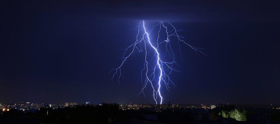
Sept 4: T-Storm Discussion for Tonight

Discussion: An upper-level 250mb jet on the N/NW side of the Bermuda high will couple with the dipping northern upper-level 250mb jet. This should produce a solid upper-level 250mb jet out of the SW over NJ tonight which has the capability of enhancing lift over our region.
At 500mb we have a fairly shallow trough swinging through but deep enough to reach down into Delmarva latitude.
At the surface we have a low pressure system moving E through SE Canada with an attached cold front currently dragging through the interior NorthEast and Mid-Atlantic US. This cold front is expected to push all the way S and E to the coast through all of New Jersey overnight tonight. After a fairly warm and humid day (today) in the warm sector New Jersey should see a very thin strip of showers and thunderstorms this evening.
The storm line should approach NWNJ between 4 pm today and clear SENJ just before midnight tonight (looks like about 10PM). Therefore it should cross the I-95 corridor/NJ Turnpike area around 6-7PM. Again this storm line is expected to be very thin and may also be broken at times. But for the areas that do get hit severe criteria (for winds and/or hail) is possible.
The actual cold front should then push through between about midnight and sunrise tomorrow (Thursday). All of New Jersey should wake up to a very comfortable feel of lower dew points (humidity) and temperatures. We then see a small break tomorrow before Dorian’s far-NW side affects at least SENJ with rain, wind and coastal flooding between Thursday night and early Saturday morning (peak conditions felt Friday). Saturday and Sunday still look majestic in the wake of Dorian’s departure. We’re talking afternoon highs capped in the 70s, overnight lows down to 50s/60s and dew points in the 40s/50s. You’ll see. We just need to get through the outer-fringe effects of Dorian on Friday.
In English: Shower and thunderstorms should push through New Jersey from NW to SE between 4pm and 10pm this evening. Storms should be hit-or-miss with severe criteria on the table due to enhanced upper-level dynamics. The most reasonable and realistic expectations are non-severe storms of a very short-duration in nature but the wildcard does need to be stated in case. As always expect interior regions of New Jersey to probably see stronger storms than coastal areas due to marine stabilization. Expect cool and dry air to follow the rain/t-storms as the cold front pushes through between ~midnight and sunrise tomorrow also from NW to SE. Tomorrow should feel pretty darn comfortable. I’ll have a fully-detailed Dorian impact assessment update out later this evening and the full weekend outlook out tomorrow evening. Have a great day and please be safe! JC
Download the new free Weather NJ mobile app on Apple and/or Android. It’s the easiest way to never miss Weather NJ content. Our premium services go even further above and beyond at the hyper-local level. Looking for industrial-caliber long-range forecasting data that I personally recommend? Check out WeatherTrends360!
Jonathan Carr (JC) is the founder and sole operator of Weather NJ, New Jersey’s largest independent weather reporting agency. Since 2010, Jonathan has provided weather safety discussion and forecasting services for New Jersey and surrounding areas through the web and social media. Originally branded as Severe NJ Weather (before 2014), Weather NJ is proud to bring you accurate and responsible forecast discussion ahead of high-stakes weather scenarios that impact this great garden state of ours. All Weather. All New Jersey.™ Be safe! JC


