NJ Severe Weather Likely (July 14-15)

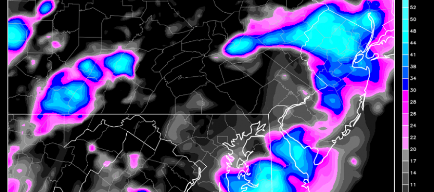
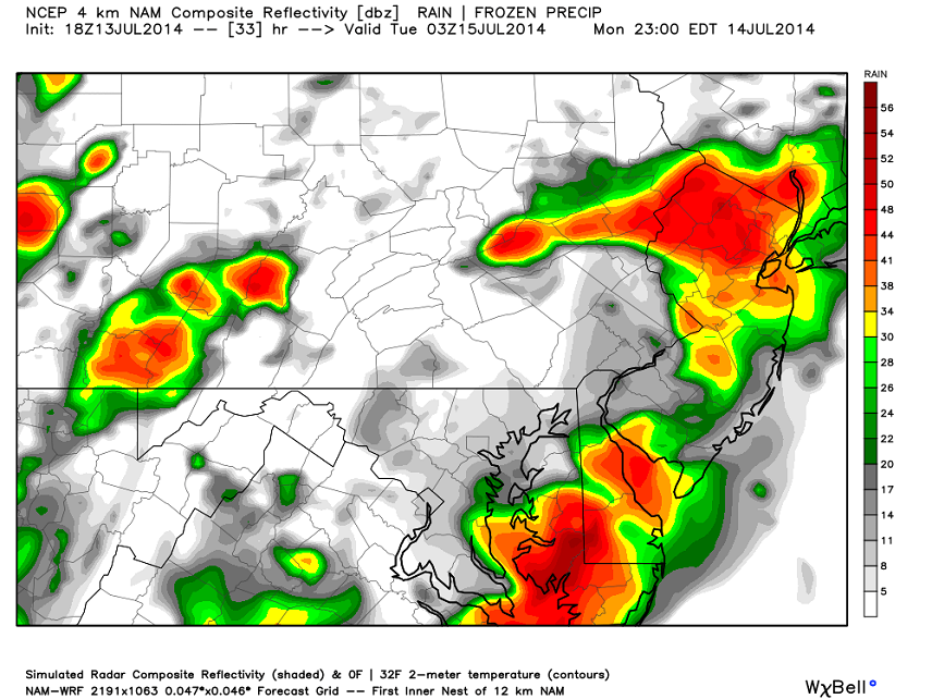
An unseasonably cool air mass is on it’s way to the New Jersey region mid-week. What still has me concerned is that it will be plowing and grinding into a warm and humid air mass that started to build in the region today. This type of setup for this time of year generally produces severe weather including damaging winds, hail, and heavy rainfall capable of causing flash flooding. The changeover to the cooler weather expected later this week will span from Tomorrow afternoon to possibly Wednesday morning. That also frames our storm period. Here is some high resolution short range guidance, specifically the NAM, showing precipitation at 11PM tomorrow night:
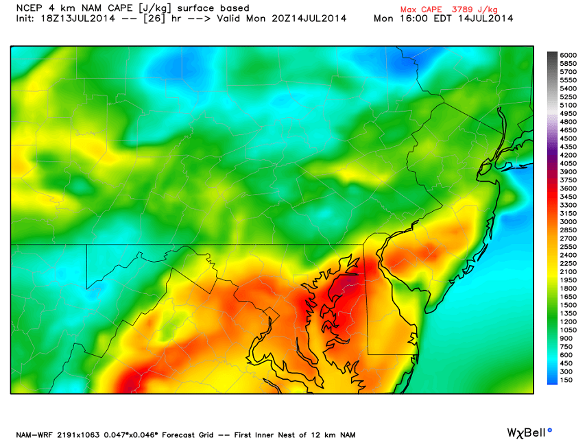
Keep in mind that precipitation could start as early as noon tomorrow. These are large cells modeled with heavy rainfall rates. I wouldn’t be surprised to see final rainfall totals measured in inches after this entire system fully pushes through. I think we’re going to see some damaging winds from this but not for everyone. In a scattered situation like this you might see isolated instances of tornadoes while the majority of the region just sees heavy rainfaill and gusty wind. Hail is possible inside the heaviest cores of precipitation which will be determined in live-casting. As far as lightning goes, there’s enough instability to produce a light show for some but just frequent rumbles for most. If there is a lot of cloud cover during the day it will limit instability and remove the frequent lightning from the picture. Here’s a map of surface-based CAPE (Convective Available Potential Energy) which is also off the NAM but for 4PM when diurnal surface heating will be optimal:
In English: Its hard to say which day will be the stormiest. For now just expect both tomorrow and Tuesday to be stormy with heavy rainfall and isolated instances of damaging winds likely the headline. Lets get through tomorrow first. Be safe! JC
Jonathan Carr (JC) is the founder and sole operator of Weather NJ, New Jersey’s largest independent weather reporting agency. Since 2010, Jonathan has provided weather safety discussion and forecasting services for New Jersey and surrounding areas through the web and social media. Originally branded as Severe NJ Weather (before 2014), Weather NJ is proud to bring you accurate and responsible forecast discussion ahead of high-stakes weather scenarios that impact this great garden state of ours. All Weather. All New Jersey.™ Be safe! JC


