

July 14: NJ Tornado Warning Update
**UPDATED 9:03PM EDT: TORNADO WARNING HAS EXPIRED**
**UPDATED 8:25PM EDT: TORNADO WARNING IN WESTERN CNJ**
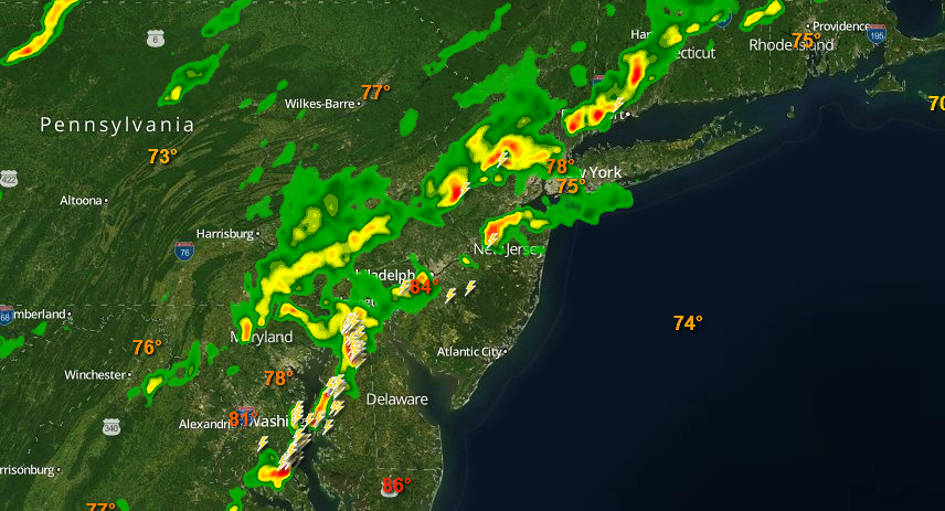
Decent storm energy has possibly produced a tornado just NE of Baltimore and is steaming across the Delmarva Peninsula towards southern New Jersey. We’ll have to wait for the NWS to investigate to confirm or rule out but there certainly was rotation detected. I expect this cluster to impact SWNJ momentarily and reach the coast between 8-9PM. Severe thunderstorms can form at any time. The storm energy in general is congealing into a more solid line segment on radar. Storms are already well into NNJ and parts of CNJ. SNJ is basically on deck. Here’s the latest snap shot from our fully interactive radar.
I expect these stormy conditions to last until possibly midnight. Until then heavy downpours, possible hail, damaging winds, and frequent lightning. As always, SENJ will see it last and that could be a hit or fizzle. I’ll be tracking. Tomorrow could be very similar to today. Please be safe and have a great night! JC
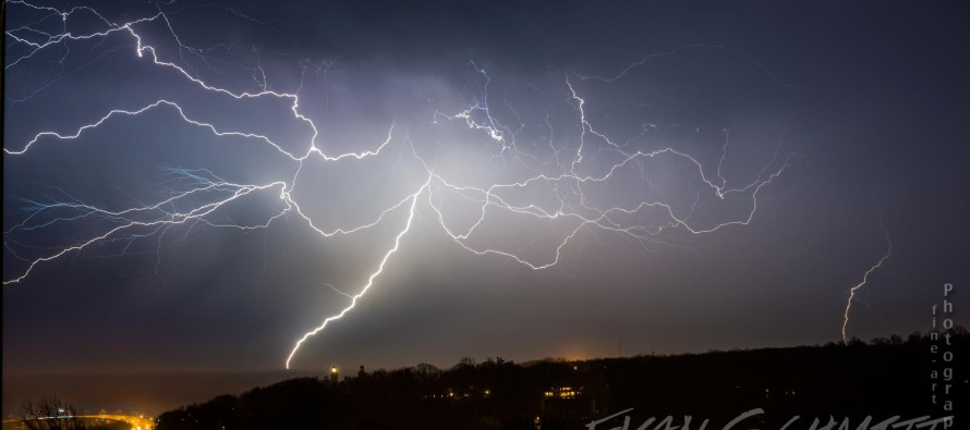
Image credit: The Photography of Evan Schmitt
Jonathan Carr (JC) is the founder and sole operator of Weather NJ, New Jersey’s largest independent weather reporting agency. Since 2010, Jonathan has provided weather safety discussion and forecasting services for New Jersey and surrounding areas through the web and social media. Originally branded as Severe NJ Weather (before 2014), Weather NJ is proud to bring you accurate and responsible forecast discussion ahead of high-stakes weather scenarios that impact this great garden state of ours. All Weather. All New Jersey.™ Be safe! JC


LOCAL FORECAST | INTERACTIVE RADAR | LATEST NJ WEATHER ALERTS | WEDDING FORECAST| PRIVACY POLICY
© Copyright 2026 Weather NJ LLC. All Rights Reserved.
Some information that can be found on our website is provided by a private weather station and is not an officially recognized station for weather reporting. Though we always strive to achieve accurate reporting for our own use, it is important that you do NOT depend on the data provided here for any purpose.
