

Snow Approaching
Discussion: Last night’s cold front has blown through and we’re now cooler. We’ll drop to the 32-40 range overnight tonight (from NNJ to SNJ) as precipitation approaches and fills in statewide by daybreak Wednesday. We have a classic March snow event where daytime solar radiation/sun angle and climatology will battle snow accumulations. Synoptically its a weak surface coastal low tracking from OBX through the 40N/70W benchmark area.
Temperatures aloft (925mb and above) will all be below freezing which is why the precipitation type will be snow for many. Temperatures from 925mb down to and especially including the surface will be above freezing for most of this event however. With that said, a lot more snow should fall than will actually stick.
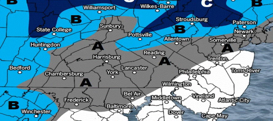
Extreme SNJ/most of SNJ should start and end as all rain. Most of CNJ should start as snow and end as ice/rain. NNJ should start and end as snow. Temps should range from 32-40 (NNJ to SNJ) when precip begins then climb to 35-43 (NNJ to SNJ) when precip peaks around noon. This basically eliminates accumulation possibilities along and SE of 95 and limits most of CNJ to a coating to an inch or two on non-paved surfaces only. The only area that will likely see a few inches+ are elevations of NWNJ. Even for NWNJ, 2-4 is possible on the grass but roads would likely just be slushy. The following map represents our thoughts for tomorrow:
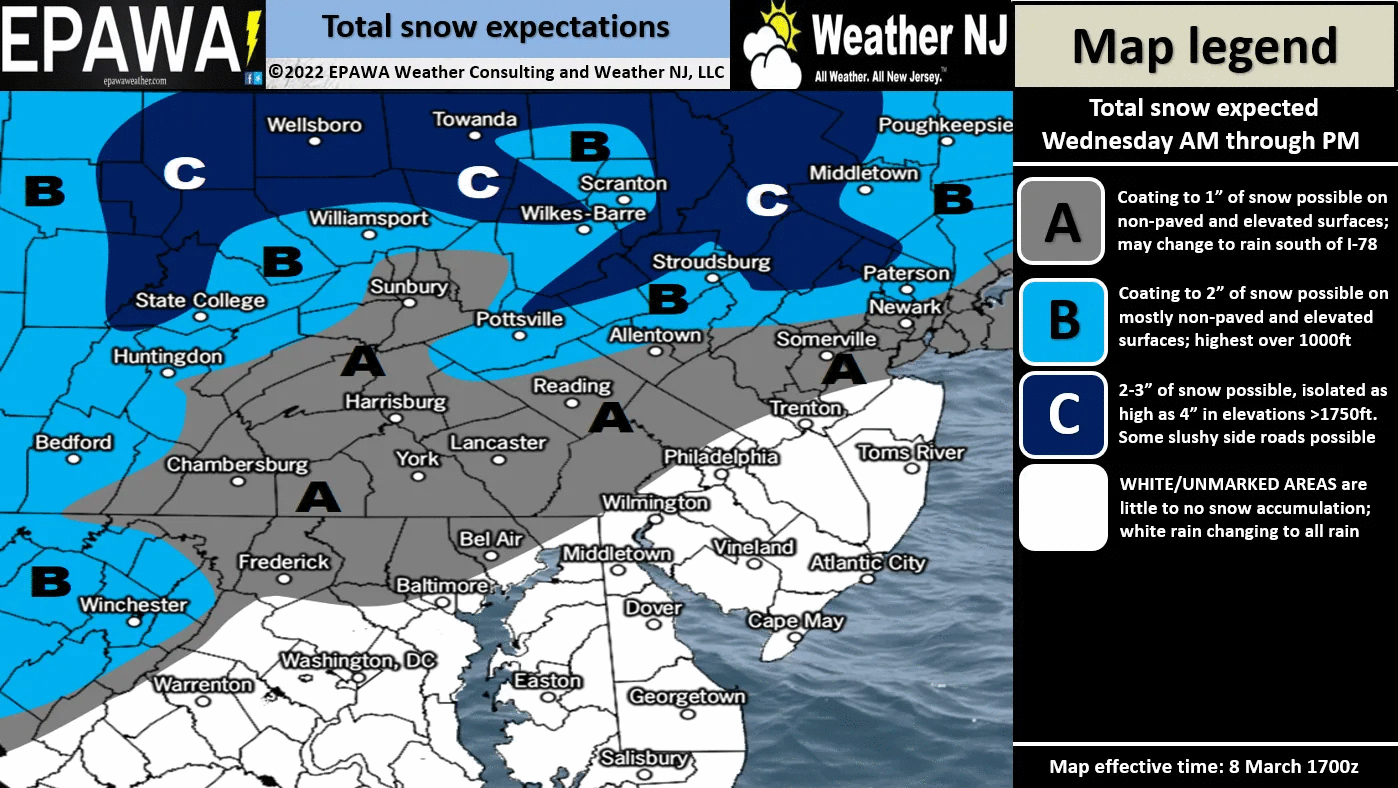
In English: We have a classic March snow event where above-freezing surface temperatures will battle snow falling through below-freezing temperatures. 4-8 inches of snow could drop out of the colder sky aloft (for NNJ/CNJ) but warmer surface temperatures should keep roads just wet (for CNJ/SNJ (possibly slushy for NNJ). Please see the above snow map for expectations. Timing: Snow/rain should begin after midnight tonight (early Wed AM), peak around noon tomorrow (Wed), and taper off by sunset (Wed PM). Let’s get through this event before discussing Saturday’s snow potential but it looks similar regarding the surface vs aloft temperature setup (favors NWNJ over SENJ for snow). Be safe! JC
Download the free Weather NJ mobile app on Apple or Android. It’s the easiest way to never miss Weather NJ content. Our premium services go even further above and beyond at the hyper-local level.
Jonathan Carr (JC) is the founder and sole operator of Weather NJ, New Jersey’s largest independent weather reporting agency. Since 2010, Jonathan has provided weather safety discussion and forecasting services for New Jersey and surrounding areas through the web and social media. Originally branded as Severe NJ Weather (before 2014), Weather NJ is proud to bring you accurate and responsible forecast discussion ahead of high-stakes weather scenarios that impact this great garden state of ours. All Weather. All New Jersey.™ Be safe! JC


LOCAL FORECAST | INTERACTIVE RADAR | LATEST NJ WEATHER ALERTS | WEDDING FORECAST| PRIVACY POLICY
© Copyright 2026 Weather NJ LLC. All Rights Reserved.
Some information that can be found on our website is provided by a private weather station and is not an officially recognized station for weather reporting. Though we always strive to achieve accurate reporting for our own use, it is important that you do NOT depend on the data provided here for any purpose.
