

Snow Squalls Possible Saturday
Discussion: A shallow trough will pass through the Mid-Atlantic and NorthEast US this weekend. An associated surface low will track through SE Canada and extend a cold front southward into the US. This could front should pass through NJ Saturday afternoon and is capable of producing snow squalls. Squalls are short-duration (30 mins or less) of low-visibility snowfall and gusty winds. They look very similar to summertime thunderstorm lines that push through (with gnarly shelf clouds). Instead they produce flizzard conditions and can be known to also produce lightning. In this case we’ll have Arctic air mass plunging into stale cold air mass (lower-40s) so there could be enough convection to generate the lightning. We’ll see. But a short period of heavy snow/gusty wind is much more likely Saturday between late-morning and afternoon. Sunday looks clear and then we warm back up for Monday-Wednesday under a ridge. Thursday looks cold again which will lead us into the Friday snow signal. Right now, it’s ugly…a snow-to-rain situation from precip overrunning an advancing warm front. I expect this to evolve differently over the next few days. But the general signal is there.
Friday (Feb 18) evening should feature a steep temp drop through and after sundown. Winds should relax to just the “light-to-breezy” category out of the W/NW. Overnight lows should range from teens to 20s N to S.
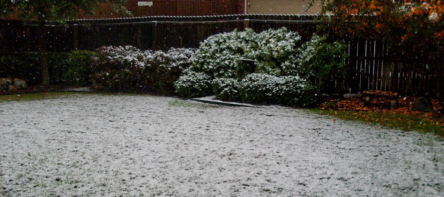
Saturday (Feb 19) high temperatures should range from upper-30s to mid-40s from N to S. Most of the day should be clear and sunny. However, snow squalls are possible between late-morning and afternoon. These would be short-duration periods of low visibility snowfall and gusty winds. I like to call them flizzards. Can’t rule out C-1” before it quickly melts. We’ll see. Winds could gust to 40mph under these snow squalls. The day, otherwise, looks breezy-to-gusty out of the W/NW. Overnight lows should fall into the teens for most areas.
Sunday (Feb 20) high temperatures should reach near-40 for most areas. Skies should be mostly sunny. Winds should be light out of the W/SW. Overnight lows should range from mid-20s to mid-30s from N to S
An early look at next week indicates a milder start with highs in the 50s/60s Monday-Wednesday. Thursday into Friday looks cold with a potential snow-to-rain situation Friday into Saturday. It’s a storm signal I’m monitoring. Let’s see how it looks on Sunday. Have a great weekend and please be safe! JC
Download the free Weather NJ mobile app on Apple or Android. It’s the easiest way to never miss Weather NJ content. Our premium services go even further above and beyond at the hyper-local level.
Jonathan Carr (JC) is the founder and sole operator of Weather NJ, New Jersey’s largest independent weather reporting agency. Since 2010, Jonathan has provided weather safety discussion and forecasting services for New Jersey and surrounding areas through the web and social media. Originally branded as Severe NJ Weather (before 2014), Weather NJ is proud to bring you accurate and responsible forecast discussion ahead of high-stakes weather scenarios that impact this great garden state of ours. All Weather. All New Jersey.™ Be safe! JC


LOCAL FORECAST | INTERACTIVE RADAR | LATEST NJ WEATHER ALERTS | WEDDING FORECAST| PRIVACY POLICY
© Copyright 2025 Weather NJ LLC. All Rights Reserved.
Some information that can be found on our website is provided by a private weather station and is not an officially recognized station for weather reporting. Though we always strive to achieve accurate reporting for our own use, it is important that you do NOT depend on the data provided here for any purpose.
