

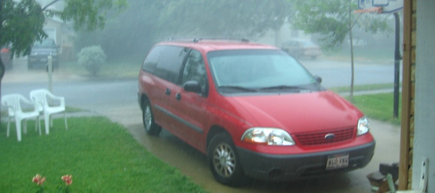
Stormy and Muggy
Discussion: The cold front sure took its time Saturday PM. It wasn’t until closer to sunrise Sunday morning that dews finally dropped to the comfortable zone. And IMHO Sunday was a few degrees warmer in both temp and dew point temp that I was expecting. I was thinking a 79/59 type day, not a 83/63 type day. The front got hung up a bit and didn’t advance as far. Monday should be a little warmer and more humid than Sunday was since we’ll have high pressure just offshore providing return flow. Winds should rock from E to SE to S as the high dives around to our NE. But Monday should be an okay day. Once that high moves far enough away (by Tuesday) it will it allow remnants of Fred to pass over the Mid-Atlantic US/NJ. There won’t be any organized circulation from Fred and therefore no widespread wind threat. It will be several days however (Tuesday-Thursday) of scattered rain and thunderstorms with a very tropical humid feel. With that said, any wind threats will be isolated to localized thunderstorms and again, not associated with Fred’s former swirl. That swirl should dissolve near TN by Tuesday night. Models are putting down some decent rainfall amounts in NJ this week from Fred’s former mass. I wouldn’t take any specific amounts as gospel yet. Just know that a few inches are likely for the hardest downpour areas. And don’t underestimate any localized thunderstorms this week regarding severe potential. There will be funky remnant energy from Fred up there and could produce instances of flash flooding or possibly tornadoes. Things should then calm down once the ridge collapses Friday. We’re looking at a weak trough which means temps likely held closer to 80 but with a humid feel and unsettled conditions. Most long-range model guidance are then on board with a stronger cold front next week, bringing relief to all.
The tropics are lit but not yet for NJ. We’ve already discussed Fred’s aftermath (Tuesday-Thursday) but he’s currently building some last-minute strength prior to W FL panhandle landfall later today/tonight. Grace will likely continue her track somewhere between Cuba and the Yucatan Peninsula. That puts her in the SE Gulf of Mexico by Wednesday and likely a W Gulf landfall (~Mexico/Texas border) later this weekend. We then have Tropical Depression EIGHT chasing its tail near Bermuda. It might continue rotating around itself and get trapped in its current location from the surrounding steering flow pattern. Need some more time to figure out what’s TD8 is going to do. If named it will be Henri. For now, go home Henri you’re drunk!
Monday (Aug 16) high temperatures should reach the low-to-mid 80s for most areas. Skies should be mixed with sun and clouds. NNJ a little more pleasant feeling humidity-wise. SNJ, a little more humid with a better chance of an isolated shower or thunderstorm. Winds should be light out of the E. Overnight lows should range from mid-60s to lower-70s from elevations to coasts.
Tuesday (Aug 17) high temperatures should reach near-80, maybe lower-80s, for most areas. Skies should be mixed and humid with scattered rain and thunderstorms likely. Winds should be light out of the SE. Overnight lows should fall to near-70 statewide.
Wednesday (Aug 18) high temperatures should reach the lower-80s for most areas. Skies should be mostly cloudy and humid with rain and thunderstorms possible. Winds should be light out of the S/SW. Overnight lows should fall to near-70 statewide.
Thursday (Aug 19) high temperatures should reach the lower-80s for most areas. Skies should be mostly cloudy and humid with rain and thunderstorms possible. Winds should be light out of the S/SW. Overnight lows should fall to the mid-to-upper 60s statewide.
Friday (Aug 20) high temperatures should reach the mid-80s for most areas. Skies should be mixed with sun and clouds with a humid feel. Winds should be light out of the SW. Overnight lows should range from mid-60s to lower-70s from elevations to coasts.
An early look at the weekend indicates high temps in the lower-80s and low temps in the upper-60s. Not seeing much rain but still some humidity around.
Download the free Weather NJ mobile app on Apple or Android. It’s the easiest way to never miss Weather NJ content. Our premium services go even further above and beyond at the hyper-local level
Jonathan Carr (JC) is the founder and sole operator of Weather NJ, New Jersey’s largest independent weather reporting agency. Since 2010, Jonathan has provided weather safety discussion and forecasting services for New Jersey and surrounding areas through the web and social media. Originally branded as Severe NJ Weather (before 2014), Weather NJ is proud to bring you accurate and responsible forecast discussion ahead of high-stakes weather scenarios that impact this great garden state of ours. All Weather. All New Jersey.™ Be safe! JC


LOCAL FORECAST | INTERACTIVE RADAR | LATEST NJ WEATHER ALERTS | WEDDING FORECAST| PRIVACY POLICY
© Copyright 2026 Weather NJ LLC. All Rights Reserved.
Some information that can be found on our website is provided by a private weather station and is not an officially recognized station for weather reporting. Though we always strive to achieve accurate reporting for our own use, it is important that you do NOT depend on the data provided here for any purpose.
