

Strong Storm has Arrived
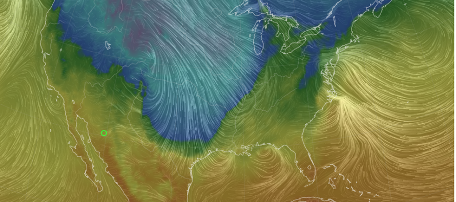
Discussion: Well, it’s pretty much go time for this much-anticipated strong storm and its New Jersey impacts. Precipitation has moved in and with the exception of the highest NWNJ elevations, has become rain for most/all of New Jersey. The Arctic high has dropped from Canada into Montana and the low is just starting to form near the Great Lakes (getting ready to bomb). Bomb is short for bombogenesis which means a pressure drop of 24mb within 24 hours. The media likes to run with the buzz word but it’s an actual term. Here in New Jersey, we have a coastal low moving offshore which is responsible for today’s rain so far.
The coastal will eventually move out but not before driving more rain and wind into NJ from the SE tonight into early Friday AM. This will be the strongest winds of the system with SENJ coastal areas at ground zero. Winds could gust over 50mph tonight between 10am and 4am. Can’t rule out 60mph. Most of the system’s rainfall will occur between now and when those winds relax tomorrow (Friday) morning by daybreak.
Winds should then change from SE to S/SW for mid-to-late tomorrow morning and we should see a lull in precipitation. Friday should start abnormally warm as we’ll be in the immediate warm sector right ahead of the Arctic front. You might see some locations near 60, especially if the sun can break through. At this point, winds should be out of the S, sustained winds of 15-20mph with gusts to 40mph.
The Arctic front will then come through between late tomorrow morning and maybe 1pm (Friday). You will know when it gets to you as temps will rapidly drop and any rain will chance to snow. It could be gusty in any direction while directly under the Arctic front (just like a thunderstorm with gust-fronts). Then winds will become out of the W or W/SW once the Arctic front is through. These winds should sustain 15-25mph with gusts to 35mph straight through Friday night, Saturday, and possibly Sunday morning before they start to recede. Given the wind situation starting tonight and going through Christmas, you should prepare for widespread power outages possible from downed tree branches hitting wires/etc.
So how much snow will fall once the Arctic front changes rain to snow? Not that much really. NWNJ is most favored for accumulations. SENJ is least favored. We can probably divide at I-95/NJTP. Those to the NW of that line have the best chance to see a coating to an inch or two depending on how much the snow bursts. Those to the SE of that line should expect little to no accumulation. There’s a good chance, however, that most areas should see at least conversational ending snowfall for a brief period. I can promise you that whatever falls will stick through Christmas as the Arctic air mass will be overhead of New Jersey.
The Arctic front will present a flash freeze situation starting Friday afternoon (once the front is through for all areas). We’re lucky to have that lull in precip Friday morning. This should allow main roadways to dry in the open winds, possibly some sunlight. But anything that does not evaporate will freeze with the flash freeze. This includes puddles, still-wet roadways, etc. Basically, if it looks wet assume it is ice after Friday afternoon.
Coastal flooding could occur late tonight through late-Friday morning, especially the ~10-11am high tide on Friday. We’re looking at minor, possibly moderate, flood stages during this time as wind-driven surge will push into the Jersey Shore.
In English: Even though this storm system will not deliver much snow, it could pack a punch with winds. Winds are the most concerning aspect of this system. The strongest winds off the ocean occur late tonight into early Friday morning. Friday morning’s high tide will be the highest ocean water level of the system regarding coastal flooding (minor likely, moderate possible – mainly for SENJ). Then we’ll see lighter winds out of the S with some clearing Friday morning, then stronger winds out of the W or W/SW behind the Arctic cold front. The Arctic front should move through NJ between late-tomorrow morning (Friday) and early-tomorrow afternoon. Most rain should fall tonight. The chance for rain changing to conversational snow should occur along and just after the Arctic front rolls through (by 1pm tomorrow). The ice that may occur with the Friday afternoon flash freeze (on roads/siewalks/puddles/on pipes/etc.) will be more potentially hazardous than the dusting/coating to an inch of snow that could fall. After that, expect stiff cold winds for Christmas Eve and Christmas Day. Not much to follow after (in the immediate future). I was watching a coastal signal Dec 28-30 but that is looking to stay to the SE of New Jersey. Everyone please be safe and prepare for wind-related power outages tonight through possibly Sunday morning. Be safe! JC
Premium Services
KABOOM Club offers inside info forecast discussion, your questions answered, and early storm impact maps (ahead of the public). At 99 cents per month, it’s an extremely feasible way to show support.
My Pocket Meteorologist (MPM), in partnership with EPAWA Weather Consulting, offers professional/commercial interests, whose businesses depend on outdoor weather conditions (snow plowing, landscaping, construction, etc.), with hyper-local text message alerts/forecasts and access to the MPM premium forum—the most comprehensive and technical forecast discussion available for PA and NJ.
Jonathan Carr (JC) is the founder and sole operator of Weather NJ, New Jersey’s largest independent weather reporting agency. Since 2010, Jonathan has provided weather safety discussion and forecasting services for New Jersey and surrounding areas through the web and social media. Originally branded as Severe NJ Weather (before 2014), Weather NJ is proud to bring you accurate and responsible forecast discussion ahead of high-stakes weather scenarios that impact this great garden state of ours. All Weather. All New Jersey.™ Be safe! JC


LOCAL FORECAST | INTERACTIVE RADAR | LATEST NJ WEATHER ALERTS | WEDDING FORECAST| PRIVACY POLICY
© Copyright 2026 Weather NJ LLC. All Rights Reserved.
Some information that can be found on our website is provided by a private weather station and is not an officially recognized station for weather reporting. Though we always strive to achieve accurate reporting for our own use, it is important that you do NOT depend on the data provided here for any purpose.
