

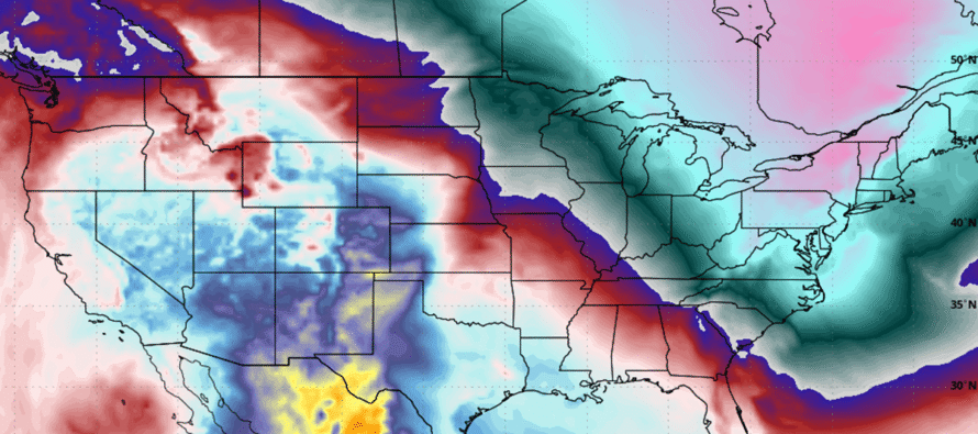
The Arctic Returns
Discussion: We’re going to stay in the “reloading trough” pattern until about Tuesday, Feb 10. This should mark the end of the brutal “core of winter” cold that we’ve had to endure since about Jan 16ish. We’ve had a few days of relaxing temperatures. Not sure you can call it a warm snap since temps only climbed just above freezing for SNJ and parts of CNJ. It’s actually still been below average this week just slightly below average not ridiculously below average. That will change with this Friday’s clipper system.
We’ll be a little colder for Thursday and Friday…similar to today but a few degrees colder. We’ll stay dry until the clipper arrives around 5pm Friday. Temps will drop Friday as the sun sets and light snow should fall likely statewide Friday evening through about 4-5am Saturday morning. It’s not a large snowstorm or anything. I’m feeling about a coating to an inch or so for most areas, possibly some lollipops to 2 inches being the max upside potential on a localized basis. A coating to an inch seems like the most reasonable expectation.
On Saturday, high temps should be achieved mid-to-late morning rather than peak afternoon due to the Arctic cold front coming through. Expect temps to drop and winds to pick up Saturday making for brutal wind chills. Saturday night into Sunday we’re back to Arctic air like last week. But then Sunday night into Monday morning, we might see the coldest night of winter yet.
The cold should then relax again on ~Tuesday (Feb 10) as a ridge finally moves into the region and holds until likely the 13th or so. We’re then looking at a storm signal for Feb 14-15th…very similar to Winter 2013-2014 IMO. There’s still a lot to be worked out with that signal. We won’t have an overbearing Arctic air mass suppressing storms to the south of NJ. It will be more of a traditional storm if it happens where a snow/rain line is involved somewhere in NJ whether NNJ, CNJ or SNJ. I am casually monitoring the signal until about Monday Feb 9. If still showing then, I will step into serious tracking mode. Until then, expect models to start throwing some crazy solutions out there that will populate your automated apps and such.
In English: We should be slightly colder than today and yesterday for Thursday and Friday daytime. Light snow is then possible Friday evening (after 5pm) which should last until about 4-5am Saturday morning. We’ll put out snow maps if warranted but right now it looks like a coating to an inch or two is the most likely scenario. We then turn back to the bitter cold stuff Saturday through about Tuesday. Saturday into Sunday winds should make it feel even colder than it is. Next Tuesday-Friday should be another break from the cold before a possible snow signal possible for Feb 13-14th which I’ll be watching casually until Monday the 9th and then seriously if still showing after that. Have a great rest of Wednesday and please be safe! JC
Premium Services
KABOOM Club offers an ad-free environment, inside info (Above and Beyond) forecast discussion, your questions prioritized, and early storm impact maps and video releases (ahead of the public). At $1.99 per month, it’s an extremely feasible way to show additional support for Weather NJ and you can turn it on and off for however many months you wish. Think of it as a tip jar with perks. Available onFacebook or Patreon.
My Pocket Meteorologist (MPM), in partnership with EPAWA Weather Consulting, offers professional/commercial interests, whose businesses depend on outdoor weather conditions (snow plowing, landscaping, construction, etc.), with hyper-local text message alerts/forecasts from real meteorologists and access to the MPM premium forum—the most comprehensive and technical forecast discussion available for PA and NJ commercial interests.
KABOOM Shop is live if you want some KABOOM or Weather NJ Merch!
Sign up for ZoneWatch Radar and get 10% off
Jonathan Carr (JC) is the founder and sole operator of Weather NJ, New Jersey’s largest independent weather reporting agency. Since 2010, Jonathan has provided weather safety discussion and forecasting services for New Jersey and surrounding areas through the web and social media. Originally branded as Severe NJ Weather (before 2014), Weather NJ is proud to bring you accurate and responsible forecast discussion ahead of high-stakes weather scenarios that impact this great garden state of ours. All Weather. All New Jersey.™ Be safe! JC


LOCAL FORECAST | INTERACTIVE RADAR | LATEST NJ WEATHER ALERTS | WEDDING FORECAST| PRIVACY POLICY
© Copyright 2026 Weather NJ LLC. All Rights Reserved.
Some information that can be found on our website is provided by a private weather station and is not an officially recognized station for weather reporting. Though we always strive to achieve accurate reporting for our own use, it is important that you do NOT depend on the data provided here for any purpose.
