

The Salt Washer Freeze Concerns and White Christmas Dreams
Discussion: Going to cover a few things today. The up-front stuff is high confidence, and the later stuff is lower confidence.
First, of high confidence, is the synoptic-driven warmth that started today (Wednesday). High temperatures this afternoon reached into the 43-53 range NNJ to SNJ. A solid toll on the recent snowpack. Tonight (Wednesday night), the entire state should return to the 20s. This presents a refreeze situation for everything that melted today. There should be some serious icicles out there tomorrow morning (Thursday morning). Thursday then steps back above freezing during the day and then becomes much warmer overnight into Friday. By Friday morning, NJ should reach a range of 50-60+ NNJ to SNJ as the warm sector spikes.
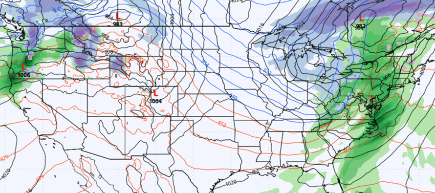
Second, also of high confidence, is the stormy conditions between late Thursday and about noon Friday. Rain should push into NJ from the W by midnight (Thursday night) and fall, heavy at times, until about 10am Friday morning. Expect more of a widespread onset of rainfall with a finale thinner strip later Friday morning before rainfall ends. Total rainfall should be in the range of .75-1.5 inches across NNJ and .5-.75 across SNJ (divided at about I-195 or I-95). Winds should be rocking with this too. First will be winds out of the S or S/SW ahead of and during the rainfall Thursday night through about sunrise or just after Friday morning. Then there will be some chaotic winds that surround the thinner convective strip of precipitation. This is the part where thunderstorms would happen if they’re going to happen, especially with a secondary low nearby. That could mean an acute period of potentially damaging winds while that thin strip of precipitation (rain) passes overhead. Then, once the thinner strip is through by about 10am Friday, winds will become widespread and gusty out of the NW or maybe W/NW as the cold front pushes through and another cold air mass moves in.
Third, of high confidence, is a steep temp drop Friday into Friday evening. It’s not flash freeze criteria but it’s certainly steep. We will have the strong winds from the cold air advection helping to dry the roads but anything not evaporated will freeze. This mainly includes puddles, side roads, or any areas of poor drainage. The rain will wash away the salt (The Salt Washer Freeze) so any untreaded roads that look wet after sundown Friday evening should be assumed icy.
Fourth, of lower confidence is the idea of a White Christmas. The jet stream has been pinned into a pattern of coming down over Montana, into the MidWest US and then over to the Mid-Atlantic US. The new pattern after the salt washer event will be across S Canada from W to E and then down over the E Great Lakes towards NJ. This will place the W US, C US, and SE US in a very warm environment. It will place the NorthEast US in a cold environment. NJ looks like the battleground between with the thermal gradient running NW to SE overhead. When this boundary floats a little to the NE, we will be warmer. When to the SW, we will be colder and cold enough for snow. I see as many as 4-5 waves of potential precipitation between Dec 23-31. A few of them surround the Christmas Eve-Christmas Day period. If they were to hit with the boundary either over or just to the SW of NJ, then NJ would see snow on these days. We’re going to have to get beyond the salt washer before we can take any of these waves seriously. But there have been a few snow hits on long-range model data. For these reasons, a White Christmas is of lower confidence however it is the most non-zero chance we’ve had in a long time.
Saturday should return a little milder after a cold Friday night but another cold front is expected Sunday night to then return NJ to a pattern of prolonged pattern-driven cold checkered with transient synoptic warmth. If it hits just right, then those White Christmas dreams will come true. More to come.
In English: After a milder Wednesday, we’re cold tonight into Thursday morning. We’re then very warm late Thursday night into Friday morning as rain and wind moves through with possible thunderstorms ending late Friday morning. We then rapidly freeze by Friday evening and into Saturday morning (watch out for black ice). We then warm back up again Saturday into Sunday and then chill down Sunday-forward. A roller coaster of temps. Watching several possible systems capable of producing rain, ice or snow through the Christmas to New Year period. Will have to start addressing those after this immediate system is out of here Friday. Have a great rest of Wednesday and please be safe! JC
Premium Services
KABOOM Club offers an ad-free environment, inside info (Above and Beyond) forecast discussion, your questions prioritized, and early storm impact maps and video releases (ahead of the public). At $1.99 per month, it’s an extremely feasible way to show additional support for Weather NJ and you can turn it on and off for however many months you wish. Think of it as a tip jar with perks. Available onFacebook or Patreon.
My Pocket Meteorologist (MPM), in partnership with EPAWA Weather Consulting, offers professional/commercial interests, whose businesses depend on outdoor weather conditions (snow plowing, landscaping, construction, etc.), with hyper-local text message alerts/forecasts from real meteorologists and access to the MPM premium forum—the most comprehensive and technical forecast discussion available for PA and NJ commercial interests.
KABOOM Shop is live if you want some KABOOM or Weather NJ Merch!
Sign up for ZoneWatch Radar and get 10% off
Jonathan Carr (JC) is the founder and sole operator of Weather NJ, New Jersey’s largest independent weather reporting agency. Since 2010, Jonathan has provided weather safety discussion and forecasting services for New Jersey and surrounding areas through the web and social media. Originally branded as Severe NJ Weather (before 2014), Weather NJ is proud to bring you accurate and responsible forecast discussion ahead of high-stakes weather scenarios that impact this great garden state of ours. All Weather. All New Jersey.™ Be safe! JC


LOCAL FORECAST | INTERACTIVE RADAR | LATEST NJ WEATHER ALERTS | WEDDING FORECAST| PRIVACY POLICY
© Copyright 2026 Weather NJ LLC. All Rights Reserved.
Some information that can be found on our website is provided by a private weather station and is not an officially recognized station for weather reporting. Though we always strive to achieve accurate reporting for our own use, it is important that you do NOT depend on the data provided here for any purpose.
