


Thursday-Friday Thunderstorms Detected

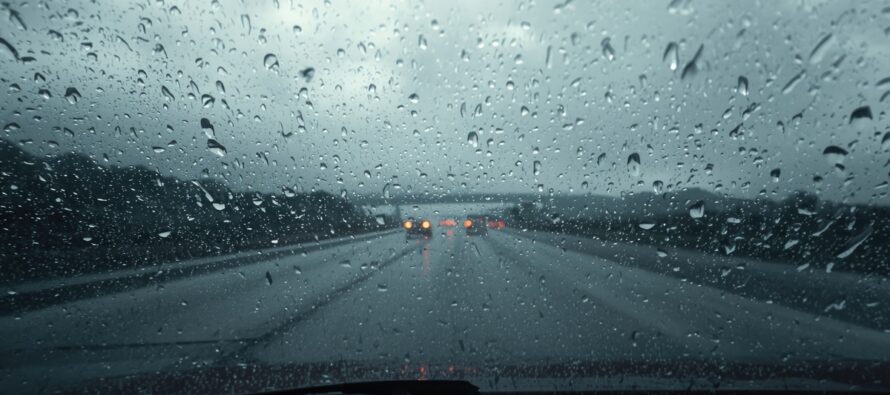
Discussion: Two short waves in SE Canada will phase into a more potent upper low between today (Wednesday) and Saturday. This will put NJ in the very unsettled SE side of everything especially on Thursday and Friday. As of right now it looks like Thursday will have the better storm dynamics of the two days. And it looks like Thursday will have the best dynamics along and NW of the I-95/NJTP corridor. Areas SE of the I-95/NJTP corridor could still see some shower and rumble activity Thursday but seem to have a better shot on Friday to a less-severe extent/anticipation.
The setup is calling for several rounds of smaller showers and thunderstorms possible between late-morning and afternoon hours of Thursday. Then, a later round would be possible from about 7/8pm-forward into Thursday night/Friday morning capable of a harder punch. That would create a lull between late-afternoon and early-evening.
There are a few wildcards as to why widespread damaging thunderstorms could be mitigated. One could be the late-morning/early-afternoon storms zapping energy away from the later storms. The early storms could have a stabilizing effect just ahead of the later storms. There’s a decent amount of convective inhibition showing on soundings that further give me pause in suggesting a severe thunderstorm outbreak. But it is still summer and we’ll have humid air mass and adequate solar destabilization coupled with an area of lifting (surface trough) preceding the more primary stormfront later. With all of that said, isolated/localized instances of damaging winds (straight line or tornadic) are very possible, just not at a widespread level IMO. Widespread expectations should be rain and rumbles from run-of-mill NJ thunderstorms.
In English: Humidity will continue to build in overnight tonight (Wednesday night) into Thursday. By late-morning Thursday, showers and thunderstorms should start popping in EPA and move into at least NWNJ, maybe down to or just past the I-95/NJTP corridor before fizzling out by late-Thursday afternoon. SENJ would have the least chance of severe activity but still on the hook for weaker showers and rumbles. Then after a short lull, more showers and thunderstorms are possible Thursday night into early Friday morning with more potential for damaging winds at a localized/isolated basis. This action should also hit NWNJ the hardest and SENJ the least. SNJ/SENJ has a better shot at showers and thunderstorms on Friday afternoon-evening IMO, rather than Thursday. But everyone is on the hook for both days with Thursday the stronger day of storms. We should then calm down into the weekend. I’ll have the detailed weekend outlook posted Friday. The focus is on Thurs-Fri action for now. Be safe! JC
Premium Services
KABOOM Club offers an ad-free environment, inside info (Above and Beyond) forecast discussion, your questions prioritized, and early storm impact maps and video releases (ahead of the public). At $1.99 per month, it’s an extremely feasible way to show additional support for Weather NJ and you can turn it on and off for however many months you wish. Think of it as a tip jar with perks. Available onFacebook or Patreon.
My Pocket Meteorologist (MPM), in partnership with EPAWA Weather Consulting, offers professional/commercial interests, whose businesses depend on outdoor weather conditions (snow plowing, landscaping, construction, etc.), with hyper-local text message alerts/forecasts from real meteorologists and access to the MPM premium forum—the most comprehensive and technical forecast discussion available for PA and NJ commercial interests.
KABOOM Shop is live if you want some KABOOM or Weather NJ Merch!

Jonathan Carr (JC) is the founder and sole operator of Weather NJ, New Jersey’s largest independent weather reporting agency. Since 2010, Jonathan has provided weather safety discussion and forecasting services for New Jersey and surrounding areas through the web and social media. Originally branded as Severe NJ Weather (before 2014), Weather NJ is proud to bring you accurate and responsible forecast discussion ahead of high-stakes weather scenarios that impact this great garden state of ours. All Weather. All New Jersey.™ Be safe! JC



LOCAL FORECAST | INTERACTIVE RADAR | LATEST NJ WEATHER ALERTS | WEDDING FORECAST| PRIVACY POLICY
© Copyright 2026 Weather NJ LLC. All Rights Reserved.
Some information that can be found on our website is provided by a private weather station and is not an officially recognized station for weather reporting. Though we always strive to achieve accurate reporting for our own use, it is important that you do NOT depend on the data provided here for any purpose.

