Unsettled and Stormy (June 17-21)

Discussion: The upper-level jet looks fairly flat and zonal through the N Mid-Atlantic and NorthEast US. Upper-level geopotential height anomalies appear neutral to slightly-below average. Basically a frontal boundary is going to drape and stall through the Mid-Atlantic US this week allowing the chance for showers and thunderstorms every day. There will be sunny/humid breaks between sets of rain and storms so not a washout week. Just an unsettled stormy week in general. Each day will have to be observed for storm timing but in general afternoon through early-evening hours should feature most action after peak solar surface heating. This should all lead up to a cold frontal passage in the late-Thursday early-Friday period. Once that is through (likely with rain and thunderstorms) it should set up a cooler and drier Friday through Sunday morning with more unsettled conditions returning later in the day Sunday.
Monday (June 17) high temperatures should reach near-80 for most maybe mid-80s away from ocean influence. Skies should be partly sunny with PM showers and thunderstorms likely especially for CNJ/SNJ later in the night. Winds should be light out of the W/SW for most but possibly light out of the E for coastal regions. Overnight lows should fall into the 60s statewide.
Tuesday (June 18) high temperatures should reach the mid-to-upper 70s for most maybe near-80 away from ocean influence. Skies should be partly sunny with more thunderstorms possible. Humidity should be noticeable. Winds should be light out of the S/SW. Overnight lows should fall into the 60s statewide.
Wednesday (June 19) high temperatures should reach the mid-to-upper 70s for most maybe near-80 away from ocean influence. Skies should be partly cloudy with more showers and thunderstorms possible. Humidity should be noticeable. Winds should be light-to-breezy out of the S/SE. Overnight lows should again fall into the 60s for most areas.
Thursday (June 20) high temperatures should reach the low-to-mid 80s for most. Skies should be partly sunny and humid. Isolated showers and thunderstorms are possible. Winds should be light out of the S. Overnight lows should fall into the 60s for most but possibly only near-70 for SENJ coastal areas.
Friday (June 21) high temperatures should reach near-80. Skies should be sunny and humid ahead of the cold front with light-to-breezy winds out of the S. Skies should be partly cloudy and drier behind the cold front with light winds out of the NW. The timing of the front is uncertain from this range but will be discussed later in the week. Overnight lows should dip into the 50s for NNJ elevations with the rest of NJ down into the lower-60s with a drier comfortable feel.
An early look at the weekend indicates a nice Saturday (after the Friday cold front) followed by an unsettled Sunday meaning showers and thunderstorms possible. Both days look to feature highs in the 80s as summertime officially begins. Let’s take another look in a few days. I would expect a few thunderstorm posts this week. Have a great week and please be safe! JC
Download the new free Weather NJ mobile app on Apple and/or Android. It’s the easiest way to never miss Weather NJ content. Our premium services go even further above and beyond at the hyperlocal level. Looking for industrial-caliber long-range forecasting data that I personally recommend? Check out WeatherTrends360!
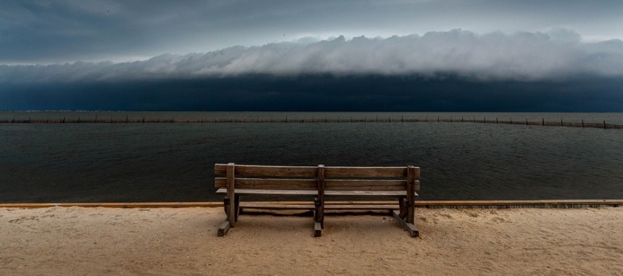
I took the above photo from the bay park in Surf City, NJ (Long Beach Island) in summer of 2018.
Jonathan Carr (JC) is the founder and sole operator of Weather NJ, New Jersey’s largest independent weather reporting agency. Since 2010, Jonathan has provided weather safety discussion and forecasting services for New Jersey and surrounding areas through the web and social media. Originally branded as Severe NJ Weather (before 2014), Weather NJ is proud to bring you accurate and responsible forecast discussion ahead of high-stakes weather scenarios that impact this great garden state of ours. All Weather. All New Jersey.™ Be safe! JC


