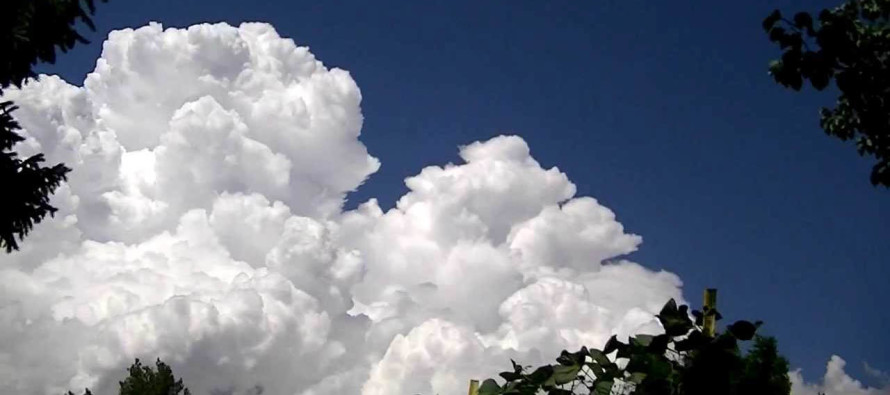
Unsettled Conditions (Aug 10-14)

Discussion: Again, not much to speak of in the upper-levels. The upper-jet should stay well N of NJ with any jet streaks weak and zonal. 500mb height analysis indicates we’ll be under a weak ridge centered over SE Canada/NE US/N Mid-Atlantic US. At this surface this will allow us to get hot and humid for the first half of this week. While no synoptic storm systems are anticipated, we have to expect the possibility for showers and thunderstorms to form locally since we’ll be sandwiched between converging flow from two highs (over Great Lakes and over Bermuda). I’d say this is possible every day this week despite each day being partly-to-mostly sunny otherwise. The weekend looks generally unsettled with weak low pressure hanging around the central Mid-Atlantic US. Does not look like a total washout but certainly periods of rain and mostly cloudy conditions from this far out. I’d like to wait until Wednesday night to commit to anything concrete on model consensus. As far as the future tropics go, there’s nothing currently modeled on the horizon but we’re looking upstream as far as the Cape Verde region for anything that could form. Because anything that does form is ultimately potentially subject to the persistent steering mechanisms of the Bermuda high/ridge so long as it stays west-enough of the Azores. That would mean a track from the Bahamas up to the east coast. The prolonged tropical air mass that existed over NJ ahead of Isaias is an example of prolonged weakening (storm dynamics stay stronger longer).
Note: Unless specifically mentioned by location (Example: NNJ elevations, SENJ immediate coast, Interior CNJ/SNJ, etc.) assume the following forecast language is statewide for New Jersey. When I say “from elevations to sea” I mean from NWNJ mountains spreading down to SENJ coastal areas. Directions are shortened (N = North, S = South, W/SW = West/SouthWest, etc.).
Monday (Aug 10) high temperatures should reach into the 90s away from the ocean. ECNJ/SENJ coastal regions could hang in the 80s. Skies should be mostly sunny, with a humid feel, but watch out for isolated pop-up showers and thunderstorms especially during afternoon/evening hours. Winds should be light out of the SW. Overnight lows should fall to the lower-70s for most.
Tuesday (Aug 11) high temperatures should reach near-90 away from the ocean. ECNJ/SENJ coastal regions could hang closer to 80. Skies should be mostly sunny, with a humid feel, but again watch out for isolated pop-up showers and thunderstorms especially during afternoon/evening hours. Winds should be light out of the S. Overnight lows should fall to the lower-70s for most.
Wednesday (Aug 12) high temperatures should reach into the 80s for most. Closer to 90 for interior NNJ/WCNJ/SWNJ. Closer to 80 for ECNJ/SENJ. Skies should be partly cloudy, with a humid feel, and more pop-up showers and thunderstorm chances during PM hours. Winds should be light out of the S/SW. Overnight lows should fall to the lower-70s for most.
Thursday (Aug 13) high temperatures should reach the low-to-mid 80s. A “not as hot” day but still likely humid. Skies should be mixed with again the chance for isolated pop-up showers and thunderstorms. Winds should be light out of the S/SE. Overnight lows should fall to the lower-70s for most.
Friday (Aug 14) high temperatures should only reach near-80 for most areas. Skies should be mostly cloudy with periods of rain possible. Winds should be light out of the E away from the ocean, possibly breezier along the ECNJ/SENJ coasts. Overnight lows should fall to the lower-70s for most.
An early look at the weekend indicates the “not as hot” theme continuing with temps reaching near-80. The period from Friday through Sunday currently looks unsettled meaning clouds and rain likely on-and-off. Let’s take another look in a few days. Everyone have a great week and please be safe! JC
Download the new free Weather NJ mobile app on Apple and/or Android. It’s the easiest way to never miss Weather NJ content. Our premium services go even further above and beyond at the hyper-local level. Looking for industrial-caliber long-range forecasting data that I personally recommend? Check out WeatherTrends360! Visit the Weather NJ Kaboom Shop for hoodies, tees and infant onesies.
Jonathan Carr (JC) is the founder and sole operator of Weather NJ, New Jersey’s largest independent weather reporting agency. Since 2010, Jonathan has provided weather safety discussion and forecasting services for New Jersey and surrounding areas through the web and social media. Originally branded as Severe NJ Weather (before 2014), Weather NJ is proud to bring you accurate and responsible forecast discussion ahead of high-stakes weather scenarios that impact this great garden state of ours. All Weather. All New Jersey.™ Be safe! JC


