

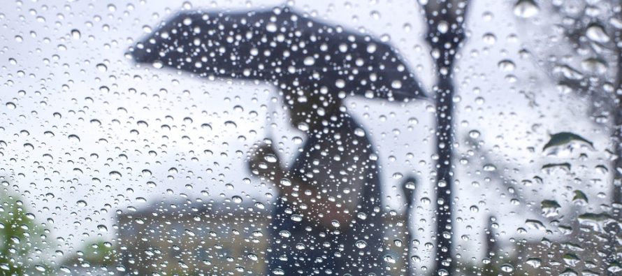
Unsettled Conditions Possibly End as Snow (Jan 3-5)
Discussion: Conditions over the north pole, specifically the Polar Vortex (PV), remain unfavorable for a sustained cold and snowy pattern through at least January 15th. Upstream eastern Pacific conditions, specifically the EPO and PNA, remain unfavorable for any large slow moving troughs over the E US. Instead we have a junky winter pattern in place where the only hope of snow is from transient cold periods and fast-moving progressive waves. It’s possible. Don’t get me wrong. The January 2016 North American Blizzard occurred in an unfavorable mild winter pattern. I’ve seen great patterns fail to produce and I’ve seen junky patterns produce. With that said we have a pretty unsettled weekend ahead with mostly rain possibly ending as snow in the Saturday night/Sunday morning period. NW parts of NJ are favored over SE parts. I’d say the best chance to end snowy is along and NW of the turnpike. We then have a fast-moving disturbance capable of producing another rain to snow scenario in the Jan 7-8 (next Tuesday-Wednesday) period. Outside of these two smaller wintry possibilities we can expect mild conditions between. We should expect a snap-back to a more sustainable wintry pattern after January 15.
Friday (Jan 3) high temperatures should range from mid-40s to lower-50s NNJ to SNJ. Skies should be mostly cloudy with period of rain likely. Winds should be light out of the SW. Overnight lows should range from near-40 to upper-40s NNJ to SNJ.
Saturday (Jan 4) high temperatures should range from mid-40s to lower-50s NNJ to SNJ. Skies should be mostly cloudy with periods of rain likely during the day. Winds should be light out of the S/SE. Overnight lows should range from near-30 to mid-30s. Rain could change to snow Saturday night into Sunday morning especially NW of the NJ Turnpike. Higher NNJ elevations would have the best chance for light accumulations. Lower elevations would likely see little-to-no accumulation.
Sunday (Jan 5) high temperatures should range from mid-30s to lower-40s NNJ to SNJ. Skies should start out mostly cloudy in the morning with tapering snow showers/flurries possible. The sun should poke through by late-morning/early-afternoon with improving conditions into evening hours. There’s a small chance that a few flurries/snow showers might still be around but no guarantee. Winds should be breezy, possibly gusty, out of the W/NW. Overnight lows should range from mid-20s to mid-30s NNJ to SNJ.
An early look at next week indicates more possible rain and snow Tuesday into Wednesday (the Jan 7-8 signal we’ve been tracking) followed by colder temperatures through about Friday. The second expected mild period then starts around Jan 9/10 and lasts likely through the 13th, maybe the 15th, before a sustainable winter pattern returns. Let’s see how everything looks in a few days. Have a great weekend and please be safe! JC
Download the new free Weather NJ mobile app on Apple and/or Android. It’s the easiest way to never miss Weather NJ content. Our premium services go even further above and beyond at the hyper-local level. Looking for industrial-caliber long-range forecasting data that I personally recommend? Check out WeatherTrends360! Visit the Weather NJ Kaboom Shop for hoodies, tees and infant onesies.
Jonathan Carr (JC) is the founder and sole operator of Weather NJ, New Jersey’s largest independent weather reporting agency. Since 2010, Jonathan has provided weather safety discussion and forecasting services for New Jersey and surrounding areas through the web and social media. Originally branded as Severe NJ Weather (before 2014), Weather NJ is proud to bring you accurate and responsible forecast discussion ahead of high-stakes weather scenarios that impact this great garden state of ours. All Weather. All New Jersey.™ Be safe! JC


LOCAL FORECAST | INTERACTIVE RADAR | LATEST NJ WEATHER ALERTS | WEDDING FORECAST| PRIVACY POLICY
© Copyright 2026 Weather NJ LLC. All Rights Reserved.
Some information that can be found on our website is provided by a private weather station and is not an officially recognized station for weather reporting. Though we always strive to achieve accurate reporting for our own use, it is important that you do NOT depend on the data provided here for any purpose.

)