

Unsettled into the Weekend
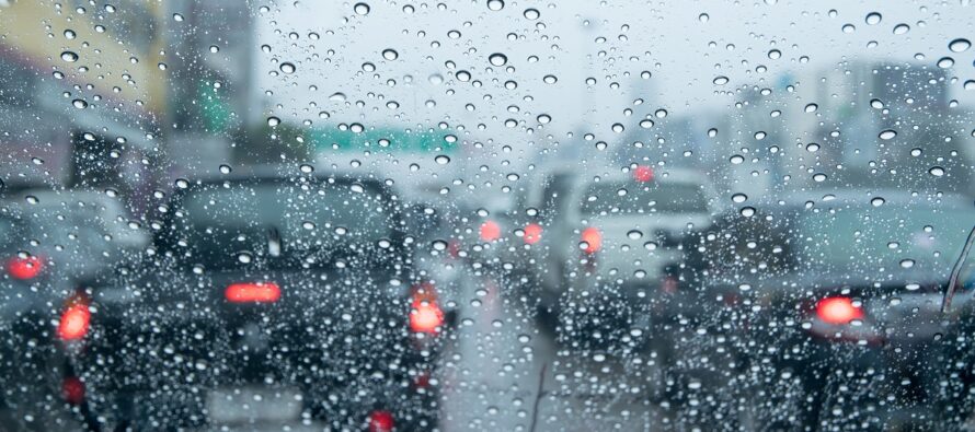
Discussion: It looks like the upper-jet should push N of NJ from now through Saturday and establish a weak but unsettled E US ridge. High pressure, to the N of Bermuda, will track eastward today and tomorrow as a low cuts into the Great Lakes on Saturday. We’re left with a milder SW flow but very unsettled given the convergence flow zone over NJ (between the high and low). So with that said, rain should be on-and-off Thursday through Saturday with maybe a boomer or two Thursday. The lakes low should drag a cold front through by Sunday morning and set up a dry but breezy Sunday. Since there is no true Arctic cold around, Sunday should still reach into the upper-50s/60s in the wake of the cold front. Next week indicates a synoptic storm signal mid-week. We’re not talking snow for NJ (maybe for states N and W of NJ) but certainly rain and wind are possible. In theory, the backside of next week’s system would pull down a cooler air mass that linger through the rest of March into early April. That would be a few degrees below average temperatures which for that time of year is mid-to-upper 50s. Cool but not cold and still an alright feel in direct sunlight.
Wednesday (March 22) high temperatures are up into the upper-50s for most NJ locations. Some interior CNJ/SNJ locations are into the low-to-mid 60s. Skies are mixed and winds are light out of the S/SW. Overnight lows should fall into the mid-to-upper 40s as clouds increase with spotty showers around.
Thursday (March 23) high temperatures should reach into the 60s for most. You might see some spots run at 70. Skies should be mostly cloudy with passing showers, possibly a t-storm or two in the warmest spots that get closer to 70 (likely interior CNJ/SNJ). Winds should eventually become breezy out of the SW. Overnight lows should range from 40-50 from elevations to coasts as showers gradually taper off.
Friday (March 24) high temperatures should reach the mid-to-upper 50s for most areas. Skies should be mixed with a few spring showers around. Winds should be light out of the NW. Overnight lows should fall to near-40 as more clouds and showers stick around.
Saturday (March 25) high temperatures should range from mid-40s to near-60 from N to S. Skies should be mostly cloudy with periods of rain. Winds should be light-to-breezy out of the E/SE, a bit breezier along the ocean. Overnight lows should range from 40-50 from elevations to coasts as conditions improve for Sunday.
Sunday (March 26) high temperatures should reach the mid-to-upper 50s for most areas. Wouldn’t be surprised to see areas push into the 60s. Skies should be mixed with sun and clouds. Winds should be breezy, possibly gusty at times, out of the W. Overnight lows should range from mid-30s to mid-40s from elevations to coasts.
An early look at next week indicates highs in the upper-40s/50s and lows in the 30s for most areas. The week should start dry but mid-week rain and possibly wind are on the table followed by a below-average period to end March and start April. Let’s revisit later this weekend. Have a great rest of your Wednesday and please be safe! JC
Premium Services
KABOOM Club offers inside info forecast discussion, your questions answered, and early storm impact maps (ahead of the public). At a buck per month, it’s an extremely feasible way to show support.
My Pocket Meteorologist (MPM), in partnership with EPAWA Weather Consulting, offers professional/commercial interests, whose businesses depend on outdoor weather conditions (snow plowing, landscaping, construction, etc.), with hyper-local text message alerts/forecasts and access to the MPM premium forum—the most comprehensive and technical forecast discussion available for PA and NJ.
Jonathan Carr (JC) is the founder and sole operator of Weather NJ, New Jersey’s largest independent weather reporting agency. Since 2010, Jonathan has provided weather safety discussion and forecasting services for New Jersey and surrounding areas through the web and social media. Originally branded as Severe NJ Weather (before 2014), Weather NJ is proud to bring you accurate and responsible forecast discussion ahead of high-stakes weather scenarios that impact this great garden state of ours. All Weather. All New Jersey.™ Be safe! JC


LOCAL FORECAST | INTERACTIVE RADAR | LATEST NJ WEATHER ALERTS | WEDDING FORECAST| PRIVACY POLICY
© Copyright 2026 Weather NJ LLC. All Rights Reserved.
Some information that can be found on our website is provided by a private weather station and is not an officially recognized station for weather reporting. Though we always strive to achieve accurate reporting for our own use, it is important that you do NOT depend on the data provided here for any purpose.
