

Unsettled Week Expected (May 2-6)
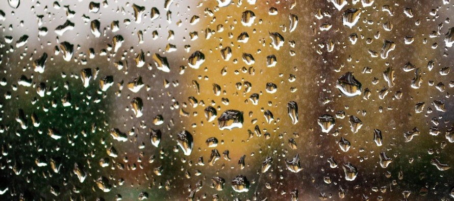
Almost every day looks the same this week. Cool with mixed-skies and possibly wet. Let’s break it down.
Monday (May 2) high temperatures should reach the 60s statewide. Skies should be partly sunny with rain showers possible, especially in the morning. Will have to watch thunderstorm potential along front running through SNJ later in the day/evening. Winds should be light out of the SW. Overnight lows should fall into the 50s (40s for NNJ elevations).
Tuesday (May 3) high temperatures should reach the low-to-mid 60s statewide. Skies should be mostly cloudy with rain showers possible. Winds should be light out of the NE. Overnight lows should fall into the 50s (40s for NNJ elevations).
Wednesday (May 4) high temperatures should reach the low-to-mid 60s statewide. Skies should be mixed with rain showers possible, especially in the afternoon. Winds should be light out of the E. Overnight lows should fall into the 40s (50s along the coast).
Thursday (May 5) high temperatures should reach the low-to-mid 60s statewide. Skies should be mostly cloudy with rain showers possible. Winds should be light out of the E. Overnight lows should fall into the 40s statewide.
Friday (May 6) high temperatures should reach into the 60s statewide. Skies should be partly sunny with rain showers possible. Winds should be light out of the E. Overnight lows should fall into the 40s (50s along the coast).

An early look at the weekend indicates more unsettled conditions as a possible nor’easter could impact the region with onshore flow and rain. After that, we should finally break into a warmer period of highs in the 70s/80s. Have a great week and be safe! JC
Jonathan Carr (JC) is the founder and sole operator of Weather NJ, New Jersey’s largest independent weather reporting agency. Since 2010, Jonathan has provided weather safety discussion and forecasting services for New Jersey and surrounding areas through the web and social media. Originally branded as Severe NJ Weather (before 2014), Weather NJ is proud to bring you accurate and responsible forecast discussion ahead of high-stakes weather scenarios that impact this great garden state of ours. All Weather. All New Jersey.™ Be safe! JC


LOCAL FORECAST | INTERACTIVE RADAR | LATEST NJ WEATHER ALERTS | WEDDING FORECAST| PRIVACY POLICY
© Copyright 2026 Weather NJ LLC. All Rights Reserved.
Some information that can be found on our website is provided by a private weather station and is not an officially recognized station for weather reporting. Though we always strive to achieve accurate reporting for our own use, it is important that you do NOT depend on the data provided here for any purpose.

)