

Volatile Pattern Continues
Discussion: Now that most of NJ is out of the oven (Mon-Wed heat) and resting (except for SWNJ and WCNJ – they are still cooking), I wanted to update for the coming weekend. Not quite yet the detailed weekend outlook but more of a discussion about the next week or so.
I’m seeing fluctuations in timing of the general westerly jet shape and flow. If you remember this past Sunday, the front of the ridge was slower to arrive and therefore created a surface trough of lifting along the boundary mid-Sunday running right across NJ, causing showers and boomers. The model guidance leading up to that held the showers off until Sunday night due to a quicker-expected arrival of the ridge…or better to say, a slower-arriving ridge. This can be traced to the upper level flow being slightly slower which cascaded down to the low-mid level impacts.
Today, the Back Door Cold Front (BDCF) created from a weak area of high pressure over New England seems to have set up at least a few hours early, possibly half a day earlier than expected…or better to say a faster-arriving BDCF. This pattern is very volatile. We just went from “when is it going to feel summery?” to “oven heat to the face while checking the food temperature” to “a late-September cloudy onshore flow feel” in a weeks time. Therefore, further small fluctuations in time are to be expected in either direction.
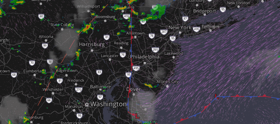
Moving forward, this feel today is a different planet than the prior 3 days for much of NJ (again except for SWNJ). SWNJ will get in on this relief tonight and tomorrow as the BDCF pushes further W and S. During this time, the atmosphere will be more stable and less prone to thunderstorm breakouts. The onshore flow is coming in off a 71F ocean which means the surface is colder and less subject to rising. Isolated showers and maybe some light rumbles are on the table tonight-tomorrow morning but a cloudy OBX feel is the most likely scenario from now through at least Friday afternoon. I do see an area of thunderstorms wanting to come through at some point Friday afternoon/evening but given the random nature of the thunderstorm formation within this tropical pattern, it’s too difficult to pinpoint detailed location and timing. I’ll take another look tomorrow when I do the weekend outlook.
Highs in the 80/90s then return for Saturday through at least Tuesday. It won’t be as bad as this past Mon-Wed because the ridge is less amplified. But summery for sure. How about describing it as “hot and humid” instead of “unbearable/dangerous to be outside.” With the return of warmer temperatures will come the better chance for shower and thunderstorm activity. Therefore, I would expect the tropical feel to last from Saturday through at least Tuesday when a solid cold front is expected to sweep out this heat and humidity for at least a few days possibly including the 4th of July. Please remember that a cold front this time of year can have little effect on temperature and moreso a humidity reducer. So Next Wed into the weekend, it could still be in the 80s but with dew points in the 50s/60s rather than 70-80.
In English: Right now, SWNJ and WCNJ are still cooking but NNJ, ECNJ, and SENJ are experiencing relief from onshore flow off a 71F degree ocean. This relief will make its way into the rest of SWNJ and WCNJ overnight and tomorrow. It’s still pretty dank since it’s ocean air but 71F and humid beats 100F and humid, right? I see some shower/storm activity trying to push into NJ from the NW this evening (Friday). The marine air should knock them down to at least showers with light rumbles rather than fierce storms. Hot and humid conditions return Saturday through at least Tuesday with stronger showers and storms possible at any time…a tropical air mass pattern. A cold front is then expected to pass through in the Tuesday PM-Wednesday period which will at least reduce the humidity to a more pleasant feel however temperatures could remain warm (it’s still end of June/start July with near-peak sun angle). But that might be just what the doctor ordered for a warm and dry July 4th. I’ll have the full detailed weekend outlook posted tomorrow. Be safe! JC
Jonathan Carr (JC) is the founder and sole operator of Weather NJ, New Jersey’s largest independent weather reporting agency. Since 2010, Jonathan has provided weather safety discussion and forecasting services for New Jersey and surrounding areas through the web and social media. Originally branded as Severe NJ Weather (before 2014), Weather NJ is proud to bring you accurate and responsible forecast discussion ahead of high-stakes weather scenarios that impact this great garden state of ours. All Weather. All New Jersey.™ Be safe! JC


LOCAL FORECAST | INTERACTIVE RADAR | LATEST NJ WEATHER ALERTS | WEDDING FORECAST| PRIVACY POLICY
© Copyright 2025 Weather NJ LLC. All Rights Reserved.
Some information that can be found on our website is provided by a private weather station and is not an officially recognized station for weather reporting. Though we always strive to achieve accurate reporting for our own use, it is important that you do NOT depend on the data provided here for any purpose.
