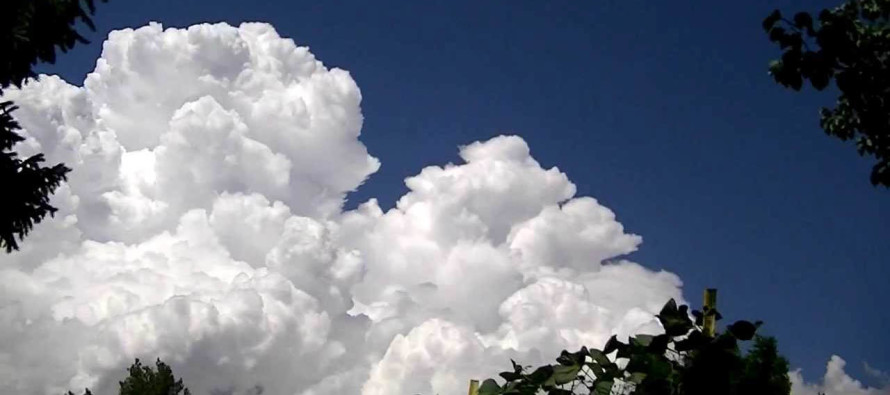
Warm and Summery (July 27-28)

Discussion: Upper-level height changes indicate the trough is gone. Fizzled away by the passage of weak high pressure. The front side of the high (N flow) provided some much needed relief this week after the unbearable heat and humidity last weekend. Now we’ll deal with the backside of the high (return flow) as it stalls for a bit near Bermuda. This should re-introduce some humidity Saturday and reinforce it for Sunday and at least Monday. Upper-level heights are not expected to build back into a death ridge again but should return to neutral/slightly positive. .
For this weekend most areas should experience warm summery conditions. This means heat and humidity but not as crazy as this past weekend. It means mostly sunny skies but with the caveat that super-isolated pop-up showers and thunderstorms are possible during afternoon-evening hours. I’d say Sunday PM hours have a better chance than Saturday PM hours for this given higher dew points. A sea breeze front or weakness in the capping inversion would be enough to set it off. If the cap holds strong then we’re talking much about nothing. Both mornings through afternoon hours will likely be clear as storm development would need all day for diurnal destabilization. Then wash rinse repeat as another cold front moves through in the early-to-mid week timeframe of next week. You can expect more relief after that. I’ll be tracking any storm activity along that front and should be able to reel in the timing of the frontal passage by Sunday.
Saturday (July 27) high temperatures should reach the mid-to-upper 80s for most areas. If anyone is going to flirt with 90 it will be interior CNJ/SNJ. Skies should be partly to most sunny with super-isolated pop-up showers and thunderstorms possible during afternoon-evening hours. Most areas should stay dry. Winds should be light out of the S/SW away from the ocean and out of the E/SE along the coast. Overnight lows should range from near-60 to near-70 NNJ to SNJ.
Sunday (July 28) high temperatures should reach near-90 for most areas. NNJ elevations and SNJ/ENJ coastal areas might hang in the mid-80s. Skies should be mostly sunny and humid with isolated pop-up showers and thunderstorms possible during afternoon-evening hours. Winds should be light out of the SW. Overnight lows should range from mid-60s to lower-70s NNJ to SNJ.
An early look at next week indicates warmer and humid conditions lasting into the first part of the week. At some point early to midweek a cold front should roll through likely with rain and storms. This should then cool and dry out the region for the rest of next week. Very similar to this past week except it won’t be crazy hot, just hot, before the relief arrives. Let’s have another look on Sunday. Have a great weekend and please be safe! JC
Download the new free Weather NJ mobile app on Apple and/or Android. It’s the easiest way to never miss Weather NJ content. Our premium services go even further above and beyond at the hyper-local level. Looking for industrial-caliber long-range forecasting data that I personally recommend? Check out WeatherTrends360!
Jonathan Carr (JC) is the founder and sole operator of Weather NJ, New Jersey’s largest independent weather reporting agency. Since 2010, Jonathan has provided weather safety discussion and forecasting services for New Jersey and surrounding areas through the web and social media. Originally branded as Severe NJ Weather (before 2014), Weather NJ is proud to bring you accurate and responsible forecast discussion ahead of high-stakes weather scenarios that impact this great garden state of ours. All Weather. All New Jersey.™ Be safe! JC


