

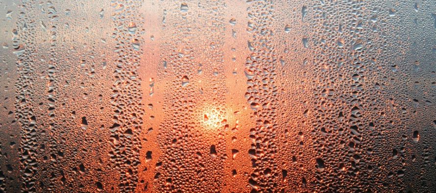
We Bake (July 17-19)
Discussion: The upper jet should remain to the N of NJ until the bottom of a trough swings through next weekend. That leaves our region in a sea of ridging until then with the strongest flex point this coming Sunday-Monday. At the surface this means the most oppressive heat and humidity of this wave occurring on those days. Today (Friday) and tomorrow (Saturday) will be a build up to that period and then conditions should slowly moderate Tuesday-forward (while still being hot through at least Thursday). Wednesday through Thursday could feature a few weak areas of low pressure moving through which would in-theory mean rainy/stormy. The next sign of true relief would occur with the trough arrival next weekend in the form of N/NW anti-cyclonic flow at the surface. Each high that comes through is a double-edged sword with its anti-cyclonic flow. 1-2 days of N/NW surface flow ahead of the high but then the flow reverses back to S/SW on the backside. Therefore I wouldn’t expect any prolonged relief but the transient relief might just fall on next weekend. Other than the heat and humidity this weekend I don’t see much rain or storms. A widespread capping inversion is likely in the low-mid levels which should inhibit the liftable air parcels from taking cumulus into cumulonimbus. In this setup it’s more of a widespread dry/extremely localized random shower/t-storm environment. My best guess for where these would occur (if they occur) would be along any sea breeze frontal boundaries that can push inland aggressive enough. (for ECNJ/SENJ).
Note: Unless specifically mentioned by location (Example: NNJ elevations, SENJ immediate coast, Interior CNJ/SNJ, etc.) assume the following forecast language is statewide for New Jersey. Directions are shortened (N = North, S = South, W/SW = West/SouthWest, etc.).
Friday (July 17) high temperatures should reach the mid-to-upper 80s. Skies should be mixed with showers and thunderstorms around. You should notice the return back to higher humidity today which should increase heat indices to near-100. Winds should be light out of the S/SW. Overnight lows should range from lower-60s to lower-70s from elevations to sea.
Saturday (July 18) high temperatures should break into the 90s for most areas away from the ocean. ECNJ/SENJ could top out in the 80s prior to any sea breeze relief. Skies should be partly-to-mostly sunny with elevated humidity. Heat indices likely 100+. Any random pop-up shower or thunderstorm would be extremely isolated. Winds should be light out of the W/NW. Overnight lows should range from mid-60s to lower-70s from elevations to sea.
Sunday (July 19) high temperatures should reach well into the 90s away from the ocean. I would not be surprised to see traditional warmer locations interior CNJ/SNJ flirt with breaking 100. Coastal regions of ECNJ/SENJ might flirt with 90 before any sea breeze forms. Skies should be partly-to-mostly sunny with elevated humidity. Heat indices should be well over 100. Any random pop-up shower or thunderstorm would be extremely isolated. Winds should be light out of the S/SW. Overnight lows should range from lower-70s to upper-70s from elevations to sea.
An early look at next week indicates more excessive heat with high humidity for at least Monday. Tuesday-Wednesday looks not as excessive but still up there. Wednesday-Thursday unsettled (rainy/stormy) and warm. Possibly some relief by Friday. Let’s take another look in a few days. Have a great weekend, stay as cool and hydrated as possible, and please be safe! JC
Download the free Weather NJ mobile app on Apple and/or Android. It’s the easiest way to never miss Weather NJ content. Our premium services go even further above and beyond at the hyper-local level. Looking for industrial-caliber long-range forecasting data that I personally use and recommend? Check out WeatherTrends360!
Jonathan Carr (JC) is the founder and sole operator of Weather NJ, New Jersey’s largest independent weather reporting agency. Since 2010, Jonathan has provided weather safety discussion and forecasting services for New Jersey and surrounding areas through the web and social media. Originally branded as Severe NJ Weather (before 2014), Weather NJ is proud to bring you accurate and responsible forecast discussion ahead of high-stakes weather scenarios that impact this great garden state of ours. All Weather. All New Jersey.™ Be safe! JC


LOCAL FORECAST | INTERACTIVE RADAR | LATEST NJ WEATHER ALERTS | WEDDING FORECAST| PRIVACY POLICY
© Copyright 2025 Weather NJ LLC. All Rights Reserved.
Some information that can be found on our website is provided by a private weather station and is not an officially recognized station for weather reporting. Though we always strive to achieve accurate reporting for our own use, it is important that you do NOT depend on the data provided here for any purpose.

)