

Week Ends with Arctic Air (Dec 5-9)
This week should remain cooler with mixed conditions but the true Arctic air mass arrives Friday. Let’s break it down…
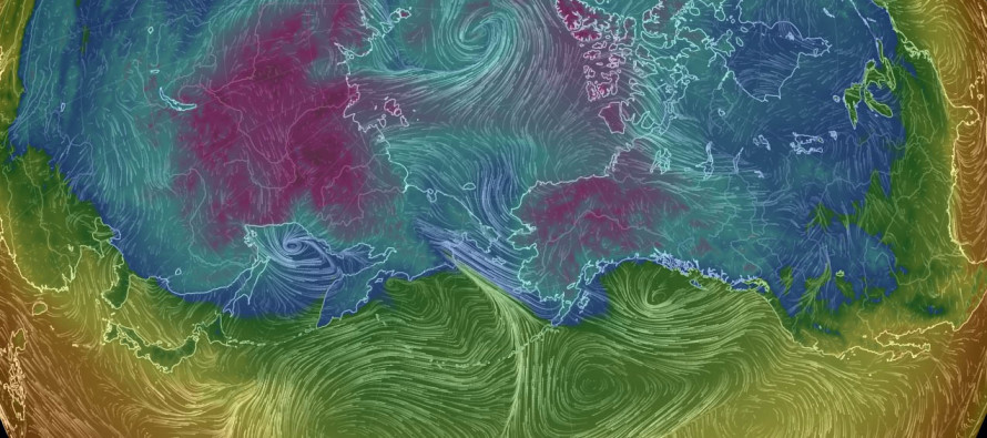
Disco: Once the Monday AM precipitation moves out, a quick moving area of high pressure should have control of the region through Tuesday afternoon. A low pressure system should then track from OBX to the E/NE (S of the 40N/70W benchmark) bringing a precipitation shield over New Jersey mid-week. We’ll have to watch how much of that precipitation shield could go wintry as we approach. Behind that is the Arctic front that should start showing its face on Thursday and be well-felt by Friday. Colder conditions should then last through Sunday. A period of moderation is possible early next week but more cold air should then reload for the uncertain period of Dec 12-16. Models are back and forth and still in the long-range. Let’s look for some consistency in guidance before jumping to any conclusions.
Monday (Dec 5) high temperatures should reach the upper-40s/lower-50s statewide. Skies should start out mostly cloudy and give way to clearing once the early morning precipitation moves out. Winds should be light out of the W. Overnight lows should fall into the 20s/30s statewide.
Tuesday (Dec 6) high temperatures should struggle to escape the 40s statewide. Skies should be partly-to-mostly cloudy with rain possible in the afternoon. Points north/higher elevations could see a wintry mix. Winds should be light out of the E/NE and perhaps breezier along the coast. Overnight lows should fall into the 40s for most with NNJ elevations likely dipping into the lower-30s. Precipitation, wintry or not from N to S, remains favored overnight.
Wednesday (Dec 7) high temperatures should reach the mid-40s to lower-50s statewide. Skies should be overcast with any precipitation ending by afternoon hours. Winds should be light out of the N. Overnight lows should fall into the 30s for most with NNJ elevations likely dipping into the 20s.
Thursday (Dec 8) high temperatures should struggle to escape the 30s for most. SNJ/SENJ could break into lower 40s for highs. Skies should be partly-to-mostly cloudy. Winds should be light-to-breezy out of the NW. Overnight lows should fall below freezing statewide.
Friday (Dec 9) high temperatures should struggle to get out of the 30s. Skies should be partly sunny. Winds should be breezy-to-gusty out of the NW. Overnight lows should fall into the 20s for most with NNJ elevations possibly dipping into the teens again.
An early look at the weekend indicates the continued result of our first Arctic air mass. Afternoon highs should struggle to get out of the 30s. Lows should dip well-below freezing overnight. The entire period from Dec 12-16 looks uncertain with several chances for wintry precipitation being modeled. Let’s revisit this idea later in the week when models get a better handle. Everyone have a great week, stay warm and be safe! JC
Jonathan Carr (JC) is the founder and sole operator of Weather NJ, New Jersey’s largest independent weather reporting agency. Since 2010, Jonathan has provided weather safety discussion and forecasting services for New Jersey and surrounding areas through the web and social media. Originally branded as Severe NJ Weather (before 2014), Weather NJ is proud to bring you accurate and responsible forecast discussion ahead of high-stakes weather scenarios that impact this great garden state of ours. All Weather. All New Jersey.™ Be safe! JC


LOCAL FORECAST | INTERACTIVE RADAR | LATEST NJ WEATHER ALERTS | WEDDING FORECAST| PRIVACY POLICY
© Copyright 2026 Weather NJ LLC. All Rights Reserved.
Some information that can be found on our website is provided by a private weather station and is not an officially recognized station for weather reporting. Though we always strive to achieve accurate reporting for our own use, it is important that you do NOT depend on the data provided here for any purpose.

)