

Weekend Looks Great after Wet Friday PM (Oct 9-11)
Once we get through today’s rain and possible embedded thunderstorms, the weekend looks great! High pressure will be moving in behind the cold front which will make for a cool, crisp, and dry (aside from AM dew) fall weekend. Let’s break it down:
Friday high temperatures should reach the mid to upper 70s. Some showers and cloud cover will linger ahead of the cold front during the day but once the front approaches later this afternoon/evening, heavier rainfall and embedded thunderstorms are possible just ahead of it. I’ll be monitoring the radar should any thunderstorms meet severe criteria. The more likely scenario is non-severe for most with maybe a few isolated areas of severe. Otherwise, the heaviest rain and storms should be a fairly short-duration event that will clear overnight after passing from NW to SE between afternoon and evening hours.
I still think rainfall totals will vary from negligible amounts up to a quarter inch. I only see amounts greater than a quarter-inch should there be localized downpours within the line segment of precipitation. Expect light-to-moderate SW winds ahead of the cold front and light-to-moderate NW winds once through. Overnight lows should fall into the 50s for most of New Jersey with 40s possible for NWNJ elevations.
Saturday high temperatures should reach the low-to-mid 60s. Skies should be mostly sunny (a few remnant clouds are possible, especially in SENJ earlier in the day). Winds should be light-to-breezy and vary from NW to NE as high pressure moves into the region. Overnight lows should fall into the 40s for most of New Jersey with 30s possible for NWNJ elevations.
Sunday high temperatures should reach the mid-to-upper 60s (maybe 70 for inland lower elevations). Skies should be mostly sunny. Winds should be light out of the SW with coastal regions subject to a light E breeze off the ocean. Overnight lows should fall into the low 50s for most of New Jersey with low 40s possible for NWNJ elevations.
An early look at next week indicates that the cool, crisp and dry weather should continue through at least Monday. Some rain is modeled on Tuesday associated with another cold front, northerly low and high pressure reinforcement behind. That would, in theory, set up a beautiful Wednesday-forward. I’ll revisit this idea on Sunday.
This weekend outlook is proudly sponsored by weathertrends360 (www.weathertrends360.com). Through 150 years of world wide weather data analysis, weathertrends360 has developed proprietary algorithms and methods that predict weather up to a year with 84% accuracy. They are second to none in the long range so check them out for business planning, travel planning, etc. Also check out their free txt and email alerts!
Be safe and have a great weekend! JC
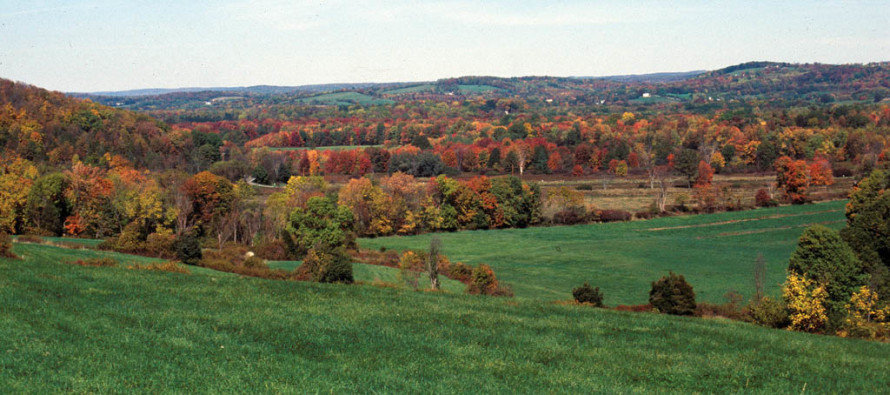
Image Credit: Kevin Holcomb/USFWS
Jonathan Carr (JC) is the founder and sole operator of Weather NJ, New Jersey’s largest independent weather reporting agency. Since 2010, Jonathan has provided weather safety discussion and forecasting services for New Jersey and surrounding areas through the web and social media. Originally branded as Severe NJ Weather (before 2014), Weather NJ is proud to bring you accurate and responsible forecast discussion ahead of high-stakes weather scenarios that impact this great garden state of ours. All Weather. All New Jersey.™ Be safe! JC


LOCAL FORECAST | INTERACTIVE RADAR | LATEST NJ WEATHER ALERTS | WEDDING FORECAST| PRIVACY POLICY
© Copyright 2026 Weather NJ LLC. All Rights Reserved.
Some information that can be found on our website is provided by a private weather station and is not an officially recognized station for weather reporting. Though we always strive to achieve accurate reporting for our own use, it is important that you do NOT depend on the data provided here for any purpose.

)