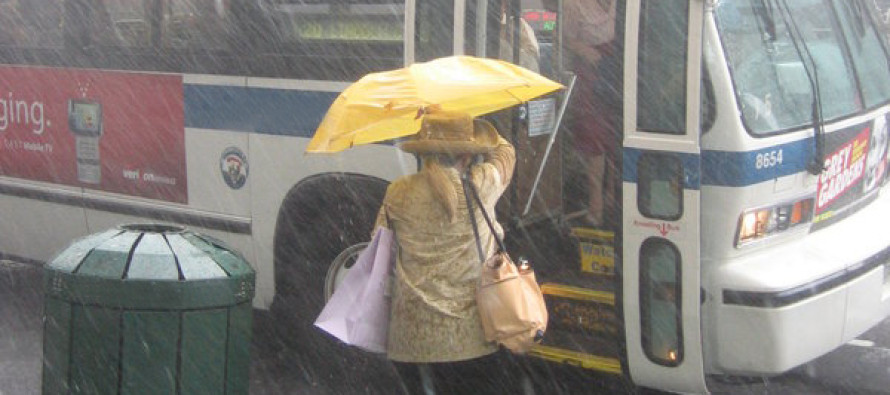
Weekend Washout Expected (Aug 1-3)

I’ve been analyzing multiple weather models (US and foreign) and weather trends for a few days now. Most guidance suggests periods of soaking rain throughout the weekend. As far as exact timing goes, Saturday morning through early afternoon should feature the most widespread precipitation. Sunday showers should be more of a scattered nature. Let’s break the weekend down.
First and real quick, temperatures will begin moderating today as warmth and humidity return to the region from the S/SW. Expect afternoon highs in the lower-80s and overnight lows in the 60s. Isolated showers and thunderstorms are possible this afternoon.
Friday looks virtually the same as today. Expect afternoon highs in the lower-80s and overnight lows in the 60s. Most of the state will again see light winds out of the S/SW. The coast might see a 5-10mph sea breeze out of the SE. I’d say storm chances are slightly increased compared to today but not by much…maybe scattered strong storms with isolated instances of severe.
On Saturday a low pressure disturbance will be sliding up the east coast. Coastal/SENJ will likely see stronger impacts than interior/NWNJ. Highs will fail to escape the 70s with lows in the upper-60s. Winds will be out of the E/NE due to the low pressure system’s cyclonic flow. Expect on and off rain showers the entire day, especially morning through afternoon. A few inches of rain are expected as well as light-to-moderate winds along the coast (10-20mph with gusts to 25-30mph). Run of the mill stuff…nothing crazy or severe. Rainfall amounts will be spread out over the day so flash flooding is of little concern. It’s not a strong enough storm system to bring significant coastal flooding/beach erosion concerns to the table either. Once the weak low pressure system moves away and out to sea, it could dry out a bit for Saturday evening-overnight.
Sunday should feature scattered on and off rain showers as well as thunderstorms. It won’t be a widespread threat like Saturday but should affect most of the state with a hit-or-miss situation. Highs will again stay in the 70s with lows in the 60s. Winds should be 5-10mph out of the SE. A quick peek at next week says we’re back to seasonably average conditions (for August).
This Weekend Outlook is proudly powered and sponsored by weathertrends360 (www.weathertrends360.com). Through 150 years of world wide weather data analysis, weathertrends360 has developed proprietary algorithms and methods that predict weather up to a year with 84% accuracy. They are second to none in the long range so check them out for business planning, travel planning, etc.
Be safe and have a great weekend! JC
Jonathan Carr (JC) is the founder and sole operator of Weather NJ, New Jersey’s largest independent weather reporting agency. Since 2010, Jonathan has provided weather safety discussion and forecasting services for New Jersey and surrounding areas through the web and social media. Originally branded as Severe NJ Weather (before 2014), Weather NJ is proud to bring you accurate and responsible forecast discussion ahead of high-stakes weather scenarios that impact this great garden state of ours. All Weather. All New Jersey.™ Be safe! JC


