

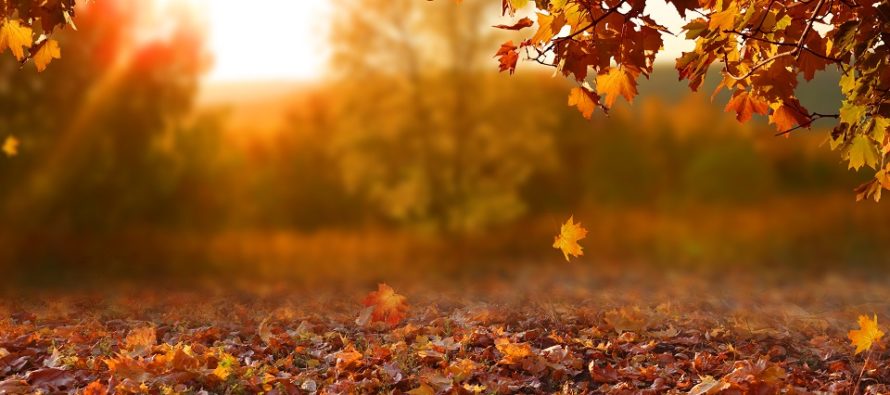
Wet Start but Mostly Cool and Dry (Oct 16-18)
Discussion: An upper-level trough will swing through the Mid-Atlantic and NorthEast US this weekend. On Friday there should be enough divergence aloft correlating with an area of positive vorticity advection to power a weak coastal low at the surface. This weak low should push through along the front-side of the trough in the form of a synoptic frontal precip event. With that said, there could be periods of heavy rainfall and possibly even some embedded thunderstorms. Flash flooding is certainly on the table for areas of typical poor drainage. The rain should gradually move in through Friday AM hours and peak during Friday PM hours. Everything should wrap up and push through overnight (by no later than sunrise on Saturday), yielding a cool, clear, and dry Saturday despite wet grounds. Saturday should have major seasonal vibes with many heaters forced on ahead of a cold Saturday night. Sunday should continue the cool and clear fall feel with temperatures a little warmer than Saturday. Sunday night not as cold as Saturday night.
Note: Unless specifically mentioned by location (Example: NNJ elevations, SENJ immediate coast, Interior CNJ/SNJ, etc.) assume the following forecast language is statewide for New Jersey. When I say “from elevations to sea” I mean from NWNJ mountains spreading down to immediate ECNJ/SENJ coastal areas. Directions are shortened (N = North, S = South, W/SW = West/SouthWest, etc.).
Friday (Oct 16) high temperatures should range from mid-50s to mid-60s from elevations to sea. Skies should be mostly cloudy. Periods of rainfall are very likely, some heavy at times, and capable of producing flash flooding instances. PM hours look rainier than AM hours. Winds should be light-to-breezy out of the NW. Overnight lows should range from upper-30s to upper-40s from elevations to sea. Rainfall should taper off after midnight.
Saturday (Oct 17) high temperatures should struggle to break 60. After rain clears (by sunrise) skies should be mostly sunny with a very dry feel. Winds should be light out of the W/NW. Overnight lows should fall into the 30s for much of the state. Would not be surprised to see the traditionally colder spots (NWNJ elevations/SNJ Pine Barrens) flirt with near-freezing temps.
Sunday (Oct 18) high temperatures should reach the low-to-mid 60s. Skies should be mixed with mostly sun but some clouds. Humidity should remain low. Winds should be light out of the S. Overnight lows should range from mid-40s to mid-50s from elevations to sea.
An early look at next week indicates rather beautiful seasonal conditions. Dry skies with little chance of rain. A weak disturbance will likely track close to our N on Tuesday but currently the rain looks to stay to our N. Cool-to-mild temperatures during the day (mid-60s to near-70) and cool nights (mid-40s to mid-50s). Let’s see how that looks on Sunday. Have a great weekend and please be safe! JC
Download the free Weather NJ mobile app on Apple and/or Android. It’s the easiest way to never miss Weather NJ content. Our premium services go even further above and beyond at the hyper-local level. Looking for industrial-caliber long-range forecasting data that I personally use and recommend? Check out WeatherTrends360!
Jonathan Carr (JC) is the founder and sole operator of Weather NJ, New Jersey’s largest independent weather reporting agency. Since 2010, Jonathan has provided weather safety discussion and forecasting services for New Jersey and surrounding areas through the web and social media. Originally branded as Severe NJ Weather (before 2014), Weather NJ is proud to bring you accurate and responsible forecast discussion ahead of high-stakes weather scenarios that impact this great garden state of ours. All Weather. All New Jersey.™ Be safe! JC


LOCAL FORECAST | INTERACTIVE RADAR | LATEST NJ WEATHER ALERTS | WEDDING FORECAST| PRIVACY POLICY
© Copyright 2026 Weather NJ LLC. All Rights Reserved.
Some information that can be found on our website is provided by a private weather station and is not an officially recognized station for weather reporting. Though we always strive to achieve accurate reporting for our own use, it is important that you do NOT depend on the data provided here for any purpose.

)