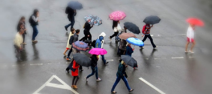
Wet Week Expected (April 3-7)

Not every day will be a washout but more significant rainfall is on the way…
Disco: A few disturbances are going to move through the region this week. Key impact days for rain, and possibly embedded thunderstorms, are Tuesday and Thursday into Friday. Tuesday alone is modeled for .5 and 1.5 inches of rainfall. Thursday into Friday should be less but still likely another half-inch in many areas. With that said, New Jersey is looking at another potential 1-2 inches of rainfall this week statewide. Monday and Wednesday look alright so not a total washout week. I don’t like how the upper-level cut-off low hangs in our region over the weekend though. It leaves a solid amount of energy behind. This typically means unsettled conditions. While no major storm systems are showing for the weekend, we cannot rule out on-and-off nuisance conditions. I’m hoping this weekend outlook changes by mid-week but I have to call it like I see it.
Monday (April 3) high temperatures should reach into the 60s for most. 70 is not off the table for interior CNJ/SNJ. Coastal areas could hang in the upper-50s. Skies should start clear and gradually increase in coverage throughout the day. Winds should be light out of the S. Overnight lows should fall into the 40s for most. Coastal areas could hang around 50. Rainfall is expected to begin overnight.
Tuesday (April 4) high temperatures should reach into the 60s for most. Interior CNJ/SNJ could take another run at breaking 70. Skies should be mostly cloudy with periods of rainfall and possibly thunderstorms. Winds should be breezy-to-gusty out of the SW. Overnight lows might struggle to dip below 50 statewide. NNJ elevations have the best shot for that. Rainfall should taper off overnight.
Wednesday (April 5) high temperatures should reach into the 60s statewide. Skies should be mostly sunny. Winds should be light out of the N. Overnight lows should fall into the 40s statewide.
Thursday (April 6) high temperatures should reach into the 50s for most. Interior CNJ/SNJ could break 60 is a few spots. Skies should be mostly cloudy with more rainfall likely. Winds should be breezy-to-gusty out of the S. Overnight lows should fall into the 40s statewide.
Friday (April 7) high temperatures should reach into the 50s statewide. Skies should start mostly cloudy and possibly clear by sunset (no promises). AM rain is likely as the overall system tapers off. Winds should be breezy-to-gusty out of the W/SW. Overnight lows should dip into the 40s for coastal areas but likely the 30s for the rest of New Jersey.
An early look at the weekend indicates unsettled conditions. Not seeing any major storm systems however this kind of setup generally produces periods of nuisance weather checkered between alright conditions. Highs are looking like 50s and 60s with lows in the upper-30s/lower-40s. Let’s revisit on Thursday. Have a great week and please be safe! JC
Jonathan Carr (JC) is the founder and sole operator of Weather NJ, New Jersey’s largest independent weather reporting agency. Since 2010, Jonathan has provided weather safety discussion and forecasting services for New Jersey and surrounding areas through the web and social media. Originally branded as Severe NJ Weather (before 2014), Weather NJ is proud to bring you accurate and responsible forecast discussion ahead of high-stakes weather scenarios that impact this great garden state of ours. All Weather. All New Jersey.™ Be safe! JC


