First Wintry Signal to Track
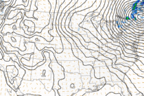
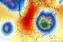
Discussion: We’re going to stay in article format for this week’s outlook since a very active pattern is setting up. I’m seeing low after low through mid-November. That doesn’t necessarily mean rain or snow for NJ with each of the